
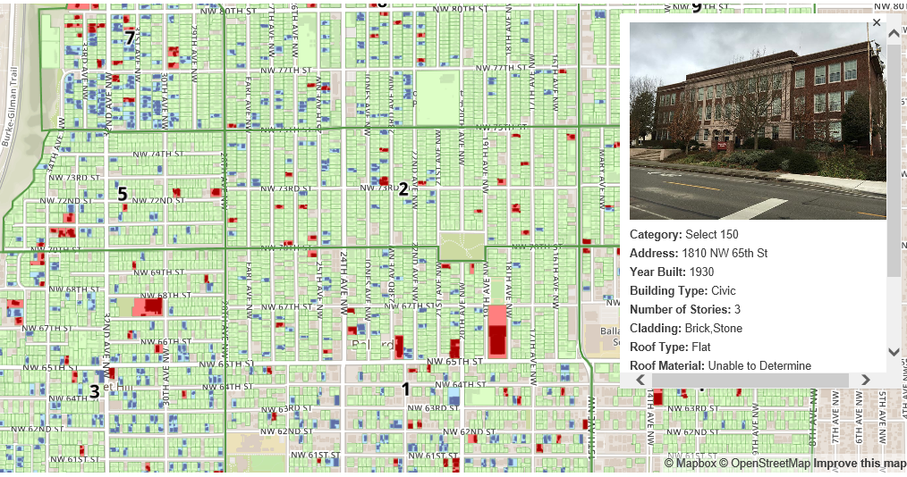
The Ballard Historical Society has completed their crowd sourced, street inventory of Ballard buildings built before 1965. The survey area extends from 8th Ave NW to the Bluff, 58th St, and 85th St. All told, some 7,200 building were photographed with smart phones by over 100 volunteers who gave well over 1,000 combined hours. A tremendous feat of coordinating historical interest, neighborhood grass roots volunteerism, GIS, and personal mobile technology. See for yourself by scrolling and clicking on the green, blue, and red parcels to see photos and information that the volunteers gathered for each parcel.
With the help of the volunteers’ initial impression of each building’s current level of preservation and potential historical significance, the 7,200 structures were stratified down into smaller and more refined examples of excellent, potentially historic structures. With the help of an architectural preservationist, and some local architects and civic leaders, a select few were chosen to be identified as “iconic Ballard” buildings. On the map, they are highlighted in blue and red—the blue parcels are considered the top 500 with the red parcels considered the top 150 of the 7,200 surveyed.
Be sure to also explore the 1904, 1937, and 1996 aerial map overlays.

Doug Trumm is publisher of The Urbanist. An Urbanist writer since 2015, he dreams of pedestrian streets, bus lanes, and a mass-timber building spree to end our housing crisis. He graduated from the Evans School of Public Policy and Governance at the University of Washington in 2019. He lives in Seattle's Fremont neighborhood and loves to explore the city by foot and by bike.