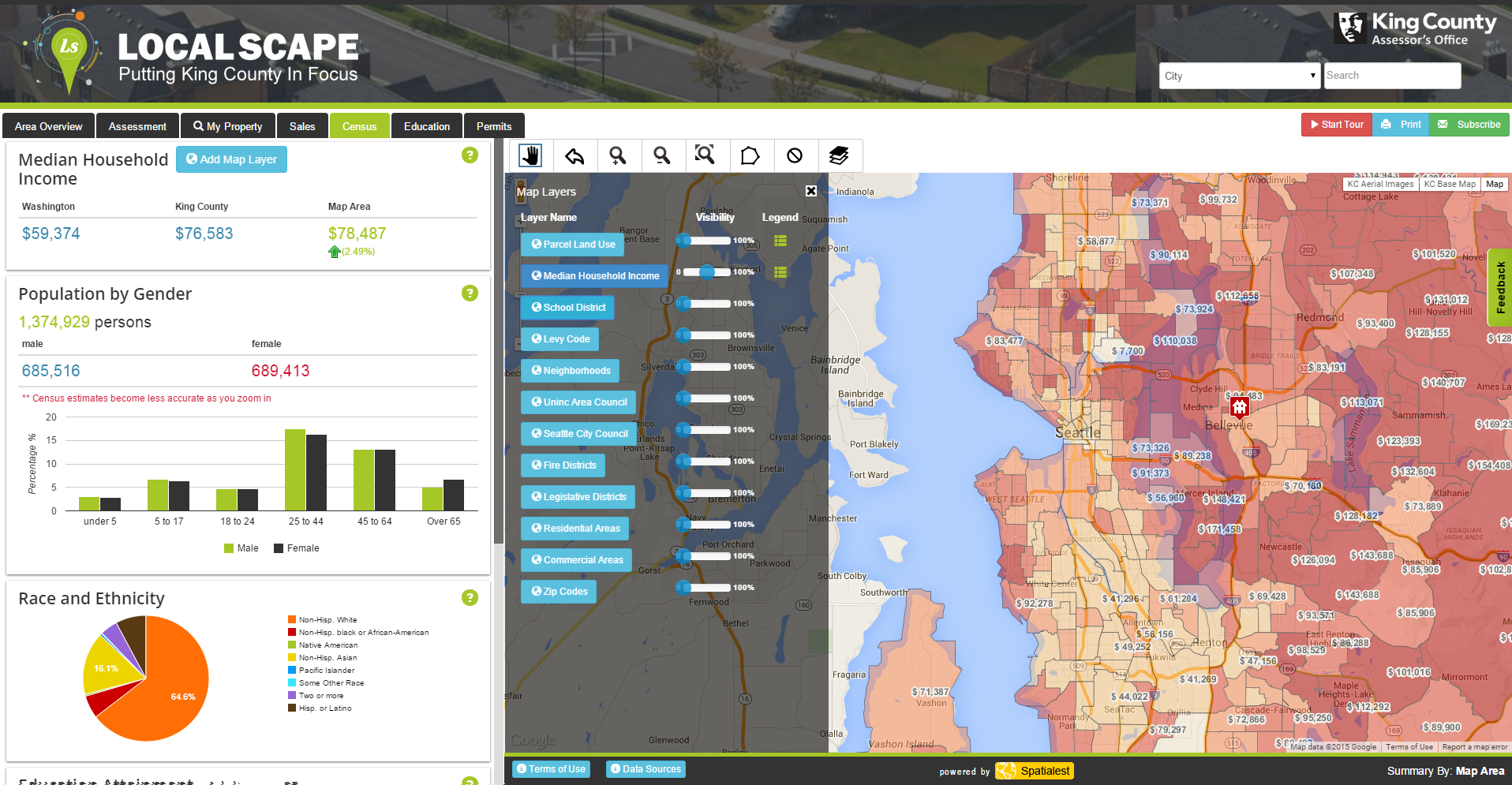
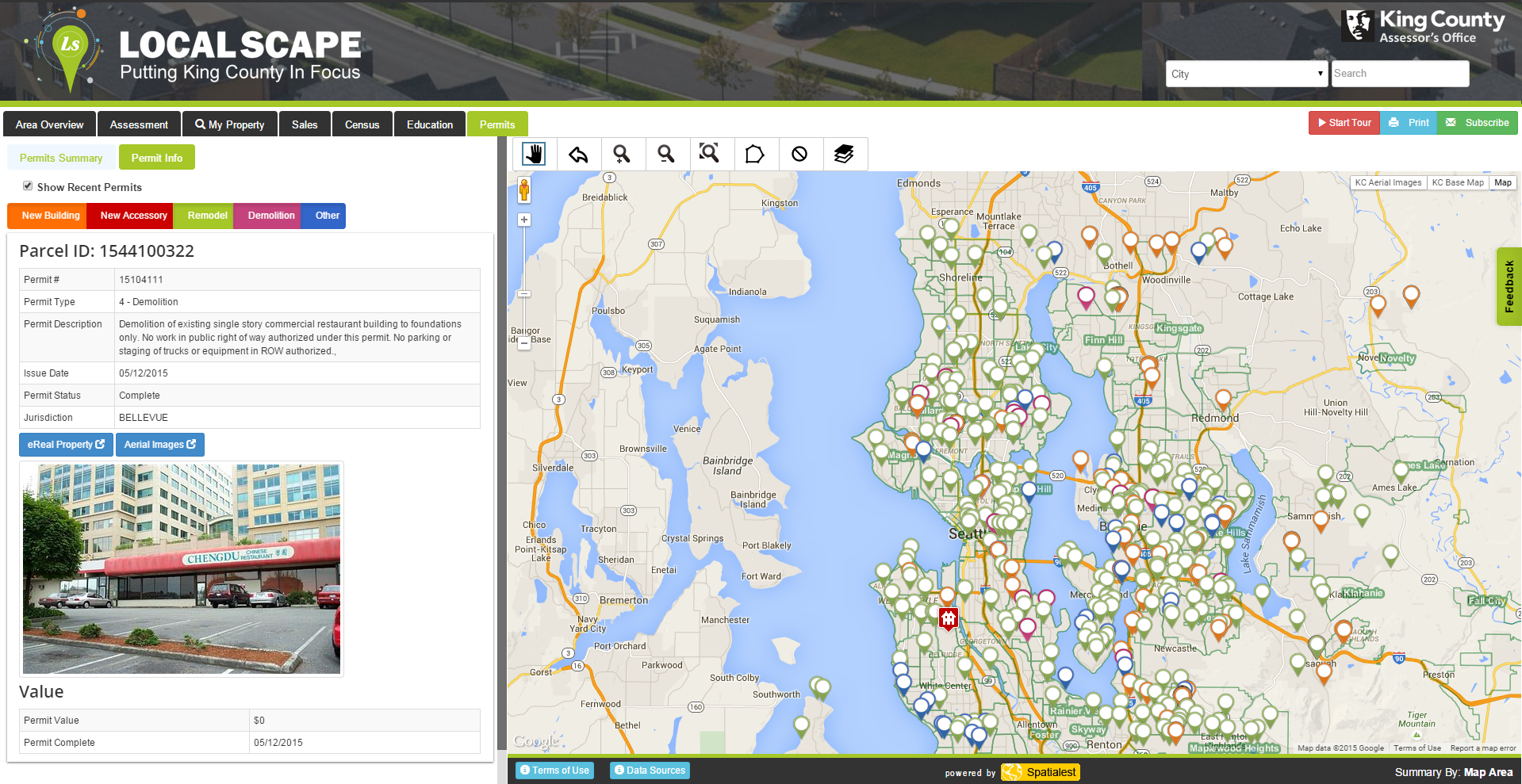
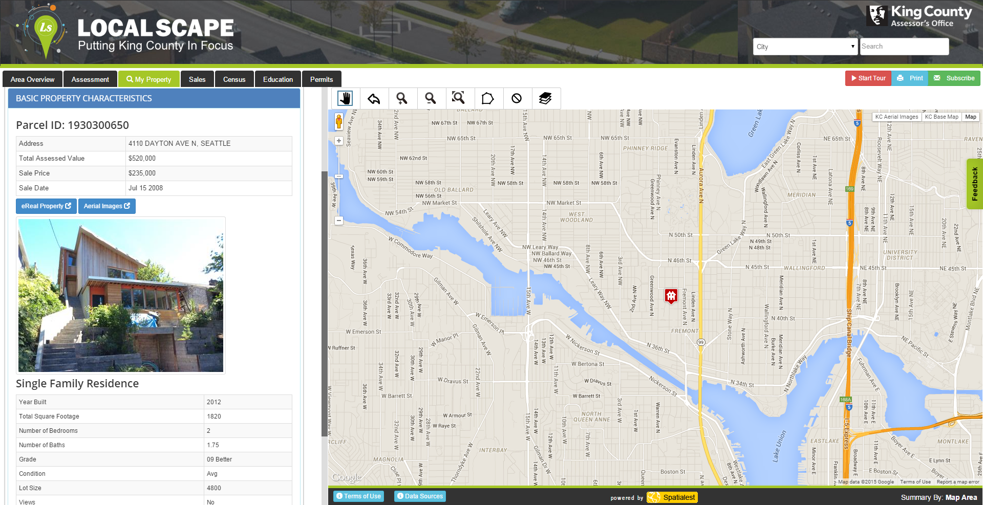
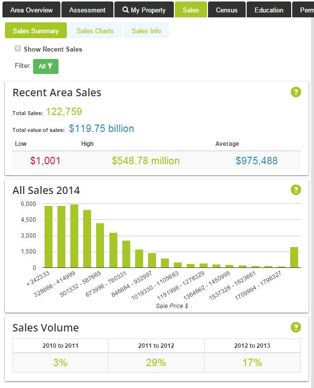
Have you ever wanted to know the racial diversity of your neighborhood, how your local schools rank, or where development permits have been recently issued? Localscape offers these features and more in one interactive map. The King County Assessor’s Office released the interactive mapping tool this week, which is powered by a collection of data from the US Census Bureau, King County departments, Great!Schools, and local jurisdictions throughout the county.
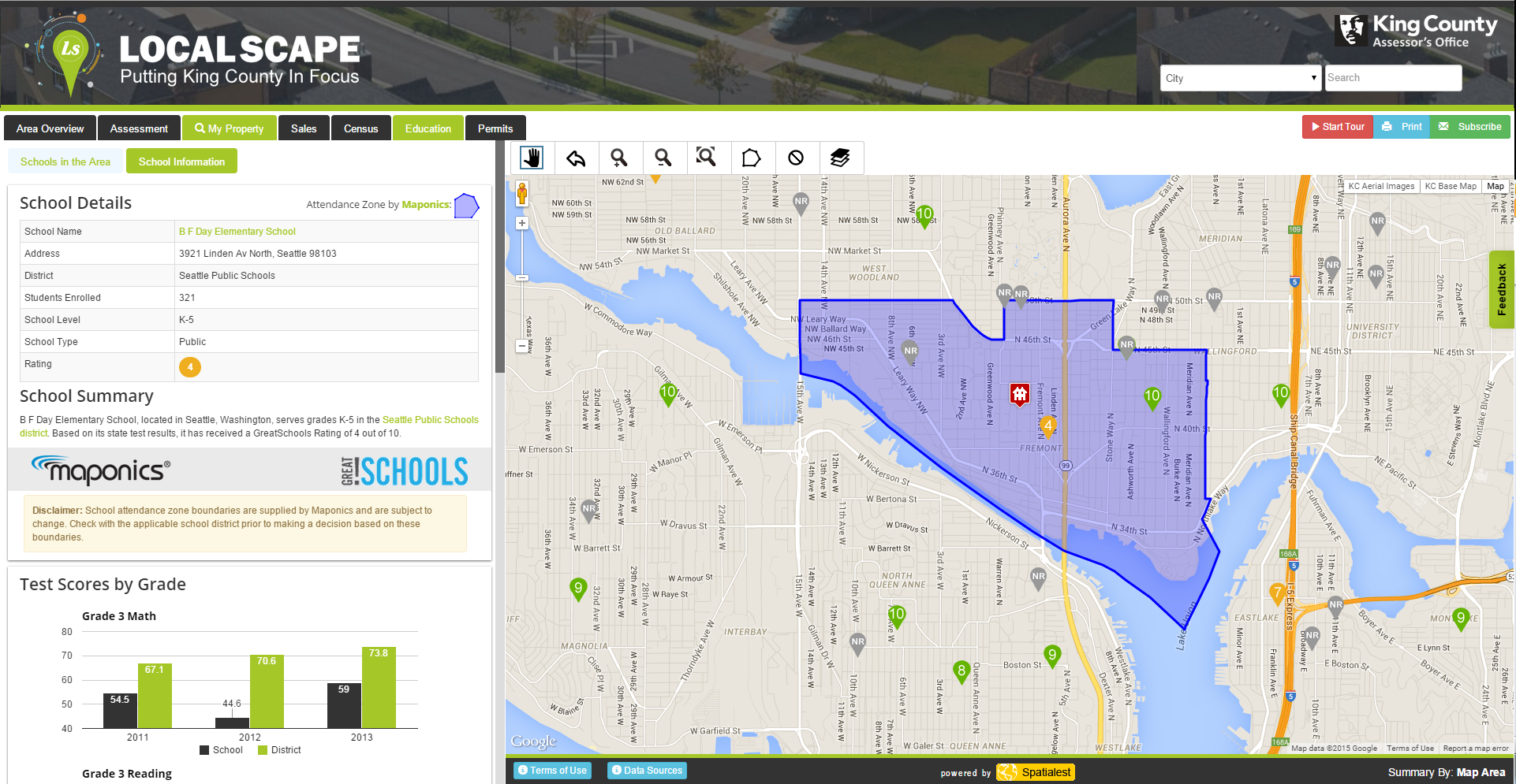
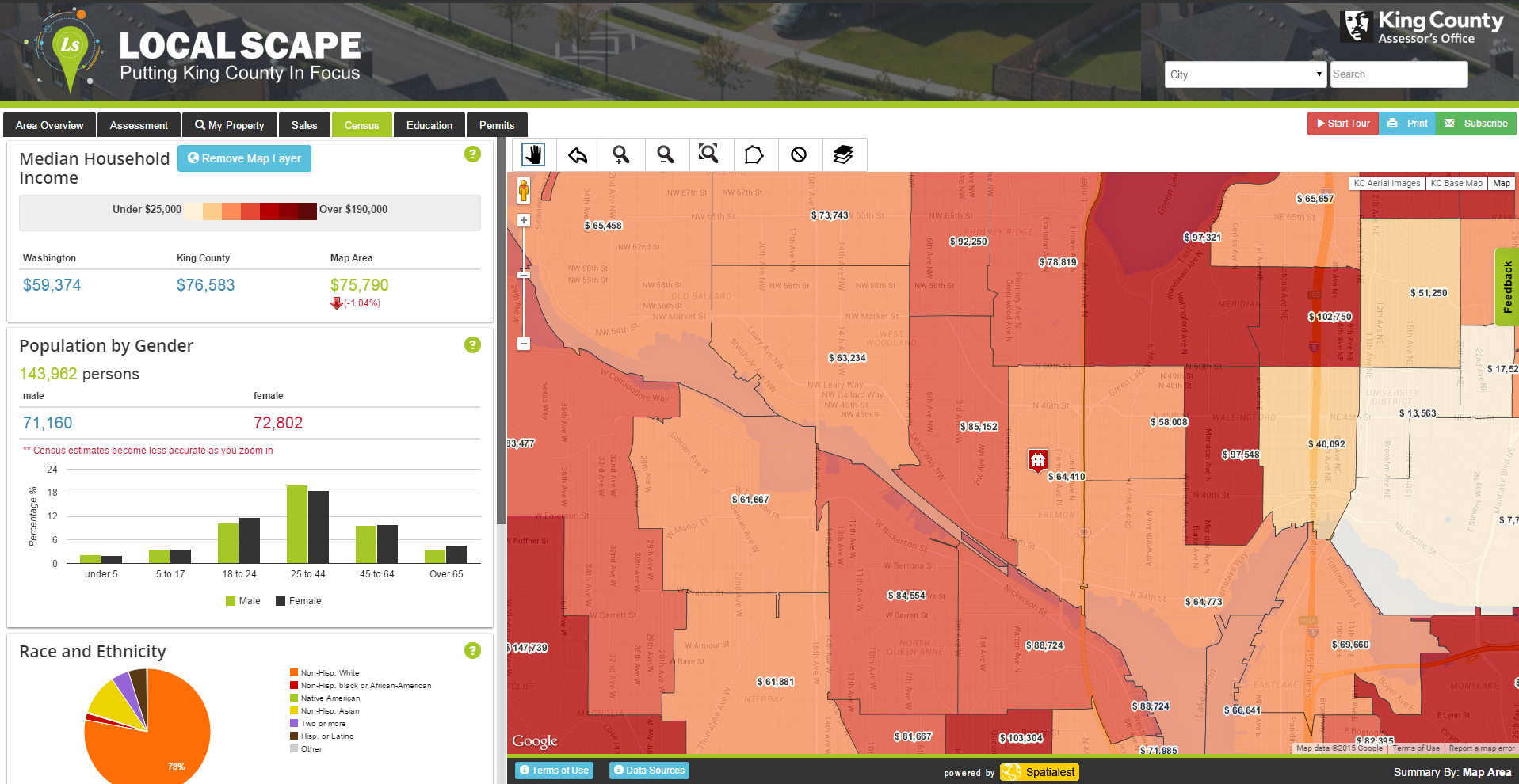
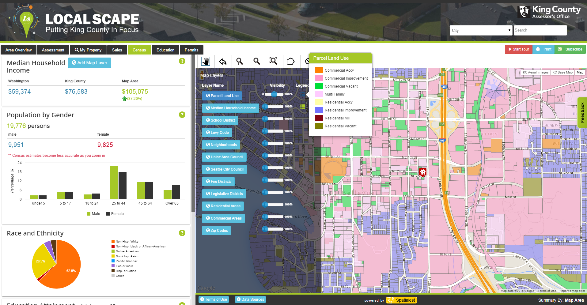
Users can toggle a wide variety of data layers and widgets to see information on local districts, property appraisal, census tract demographics, school attendance zones, and even generalized land uses. Summaries of the data appear on the left of the screen when queried while map-level data can be populated and manipulated on the right using the layers feature or data tabs from above. Try it out and learn more about your community!
Stephen is a professional urban planner in Puget Sound with a passion for sustainable, livable, and diverse cities. He is especially interested in how policies, regulations, and programs can promote positive outcomes for communities. With stints in great cities like Bellingham and Cork, Stephen currently lives in Seattle. He primarily covers land use and transportation issues and has been with The Urbanist since 2014.

