City road crews have been working to install new pedestrian and bicycle infrastructure on N 34th St (Fremont), Westlake Ave N (Westlake and South Lake Union), and Roosevelt Way NE (Roosevelt and University District). All three projects are poised to be completed in the coming weeks, which should be welcome news to those walking and biking.
N 34th St Protected Bike Lanes
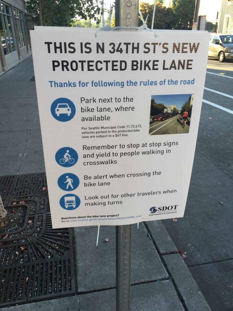
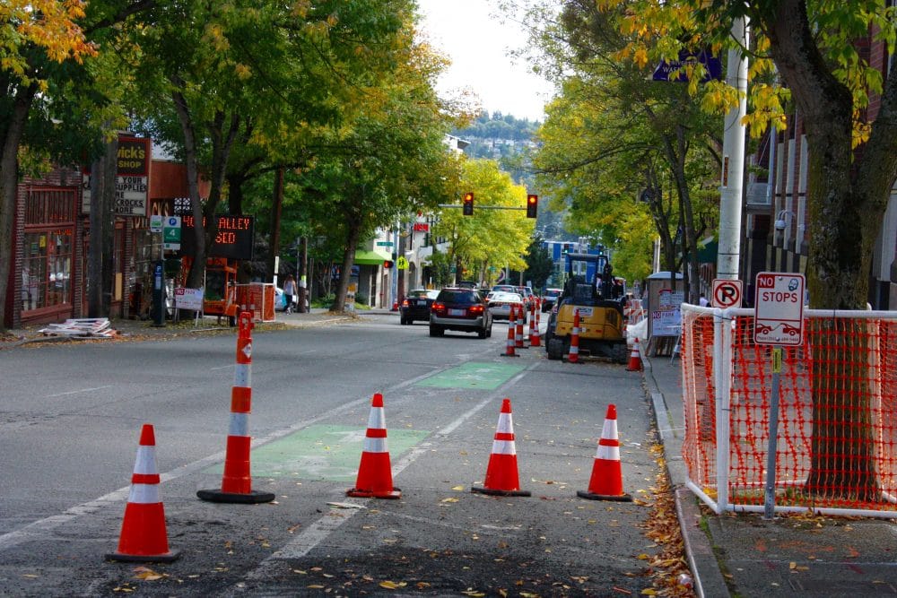
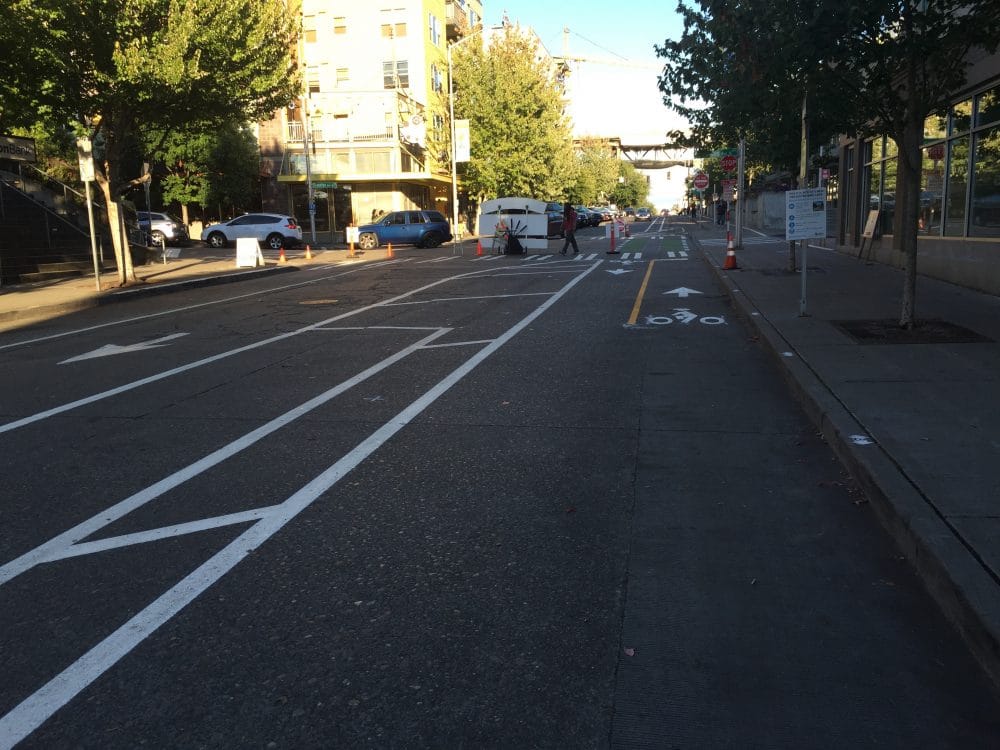
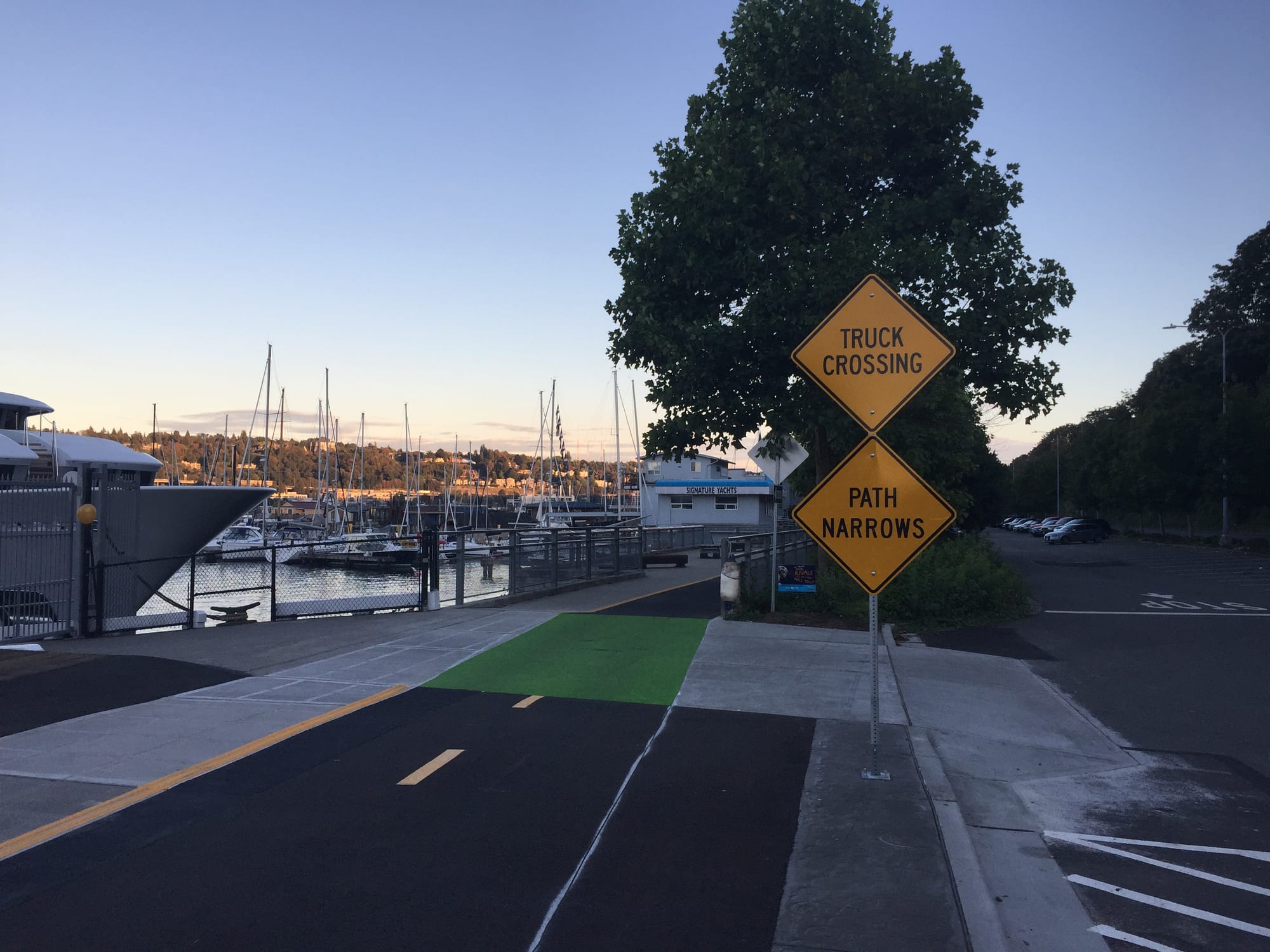
The new protected bike lanes on N 34th St are intended to bridge the bicycle network above the Fremont Cut. Riders to and from the Fremont Bridge often use N 34th St as a connector to the Burke-Gilman Trail since the grade is gentle. The new connection will make the transition much smoother.
The changes on the ground will essentially tighten up the street, turning a street with bi-directional travel lanes into a one-way. A two-way protected bike lane will be added on the south side of the street with a parking lane separating the general travel lane from the protected bike facility. Some removed parking will be transferred to Phinney Ave N by converting parallel parking stalls to back-in parking stalls, increasing parking capacity. The benefit of this is that the travel lanes on Phinney Ave N will also be tightened up, which hopefully will reduce speeds on that street, a frequent cut-through for drivers.
In observing people biking through the area this past weekend, the improvements seemed to be working well. But there are challenges given that the Fremont Sunday Market takes over N 34th St for most of every Sunday. In doing so, the protected bike lane will be closed forcing to bicyclists to dismount for the three-block stretch between Phinney Ave N and Evanston Ave N. Flexible posts will be installed today, demarcating the protected bike lanes from the parking lane and allowing enough room to fit booths during market days. SDOT says that these are designed to be removable by Fremont Sunday Market staff if needed.
SDOT expects the lanes to officially open this today.
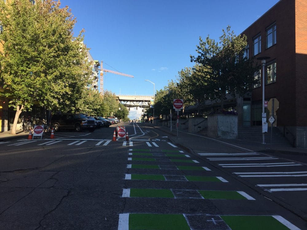
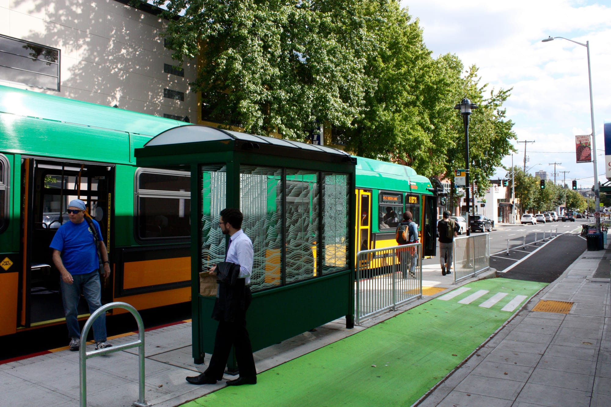
Westlake Cycletrack
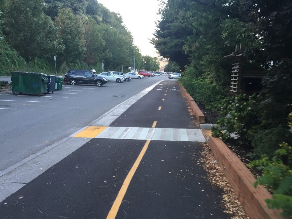
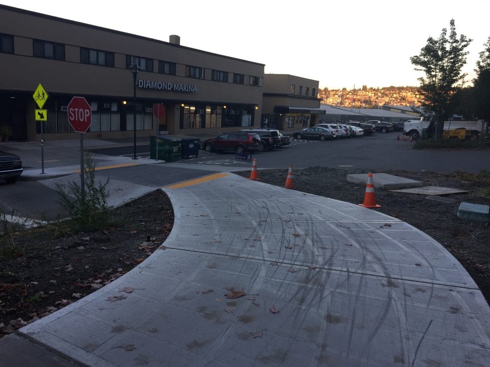
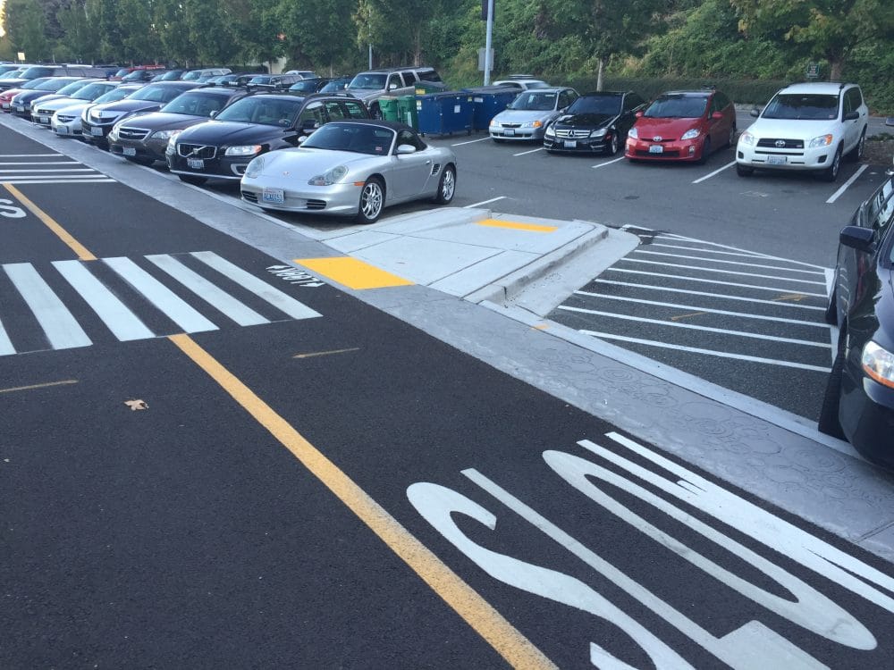
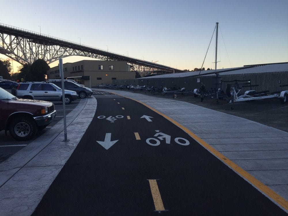
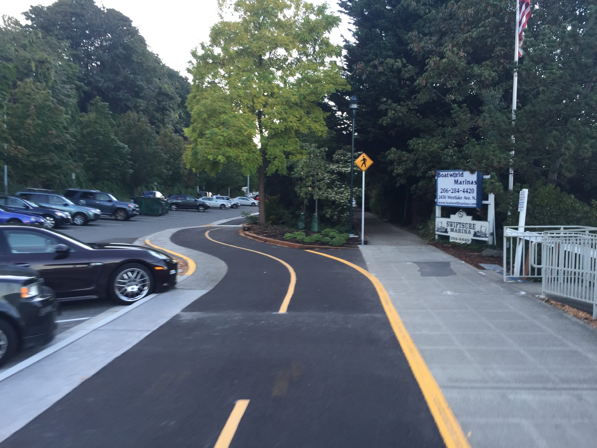
The long-awaited Westlake Cycletrack is nearly done. Crews started installing the 1.3-mile facility in early 2016 and now have but one small segment and minor improvements remaining. SDOT has picked September 15th as the grand opening date.
The cycletrack isn’t just a huge upgrade for people on bikes. Pedestrians will see real improvements with more accessible ramps, wider and new sidewalks, and speed humps and raised crosswalks. Every pedestrian crossing across the cycletrack is well marked with signs and warning striping that bicyclists should feel, not just see.
SDOT has made various accommodations along the trail. For instance, the cycletrack squeezes around a railway bed, trims down to one lane near a critical area, and provides access of boat trailers to be pushed up rolled curbs beyond the trail. The cycletrack is generally ten feet wide while the pedestrian paths are eight feet wide.
Roosevelt Repaving Project
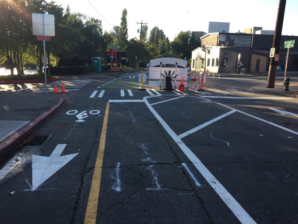
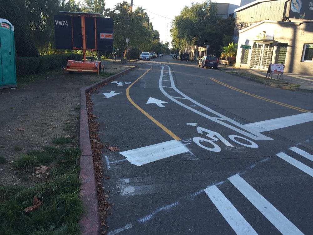
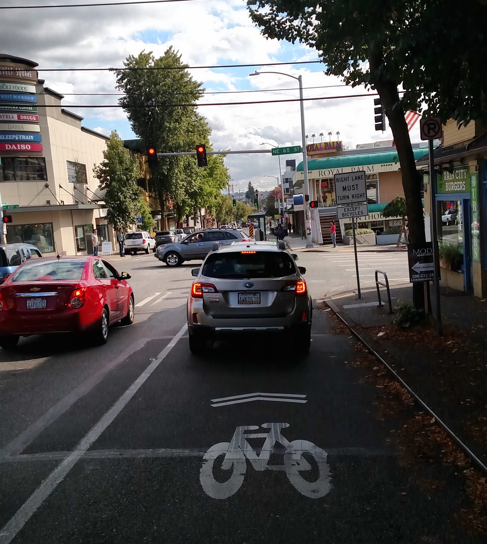
The Roosevelt Repaving Project is a 1.7-mile corridor true to the complete streets ethos. SDOT has been gradually rolling out various walking, biking, and transit improvements along Roosevelt Way NE between Roosevelt and University District as part of a larger repaving project. The corridor is unquestionably one of the busier routes in Northeast Seattle, making it a high priority for these types of treatments.
A full year before repaving work began, SDOT deployed a one-way protected bike lane on the west side of Roosevelt Way NE (between NE 45th St and the University Bridge) in January 2015. After laying down paint and flexible posts, SDOT made a few adjustments near intersections to reduce the occurence of collisions between people biking and driving.
While the complete streets repaving project doesn’t go as far as some safer streets advocates may want, it does greatly improve conditions of the corridor.
For starters, a continuous network of protected bike lanes will run from NE 65th St to the University Bridge, making the journey less dangerous for people biking. SDOT has also introduced curb extensions at intersections and mid-block locations to reduce the perceived width of streets and vehicle speeds while improving access across the street for pedestrians and those with mobility challenges. Likewise, SDOT has used the project as an opportunity to roll out bus islands similar to the ones on Dexter Ave N. These bus islands allow buses to stop in-lane, expands the boarding and waiting area for riders, and permits bicyclists to pass behind the island eliminating risk of collision with buses. This is likely what the protected bike lanes will also look like in Eastlake, when the Roosevelt HCT project beefs up the entire corridor.
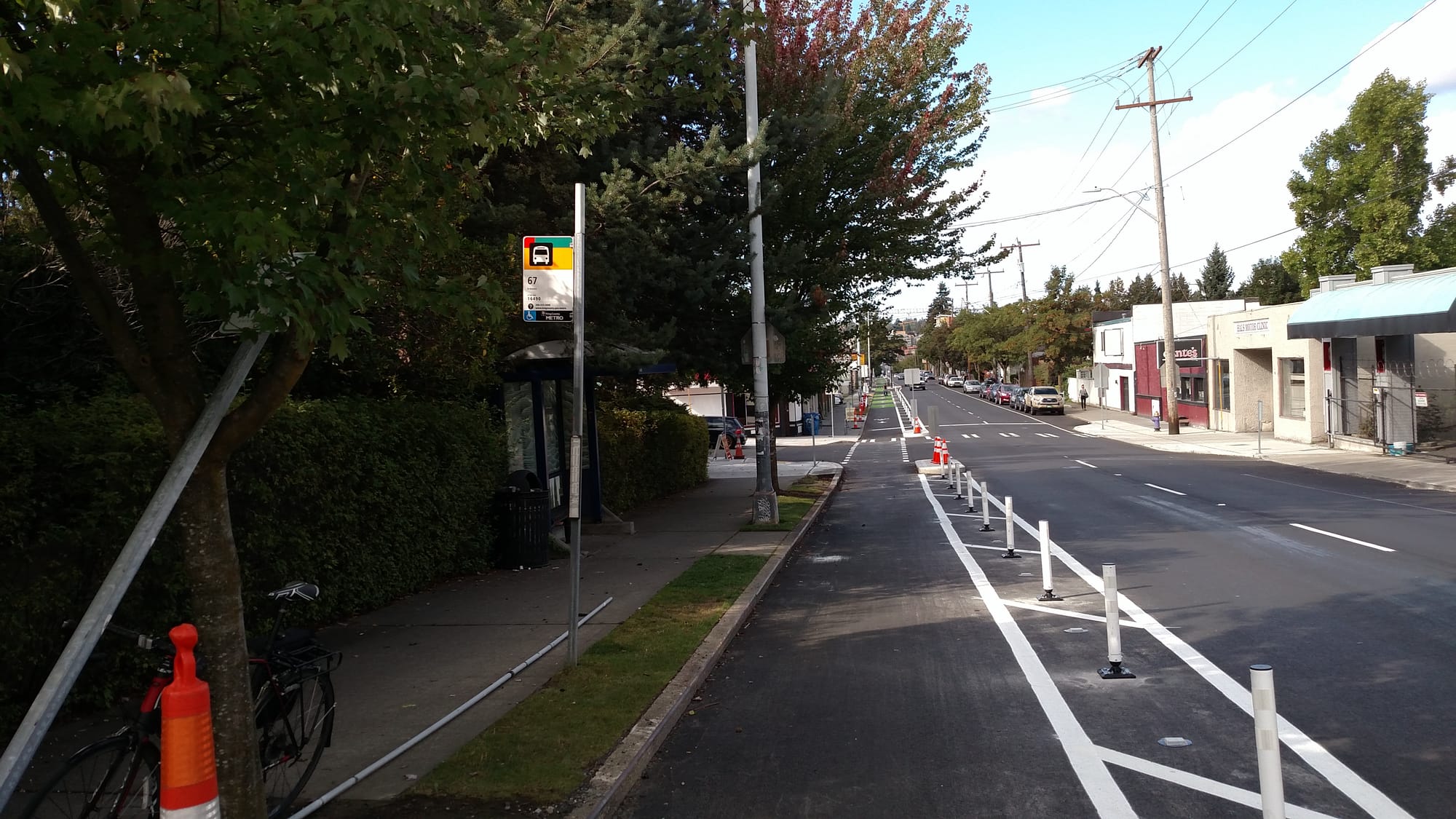
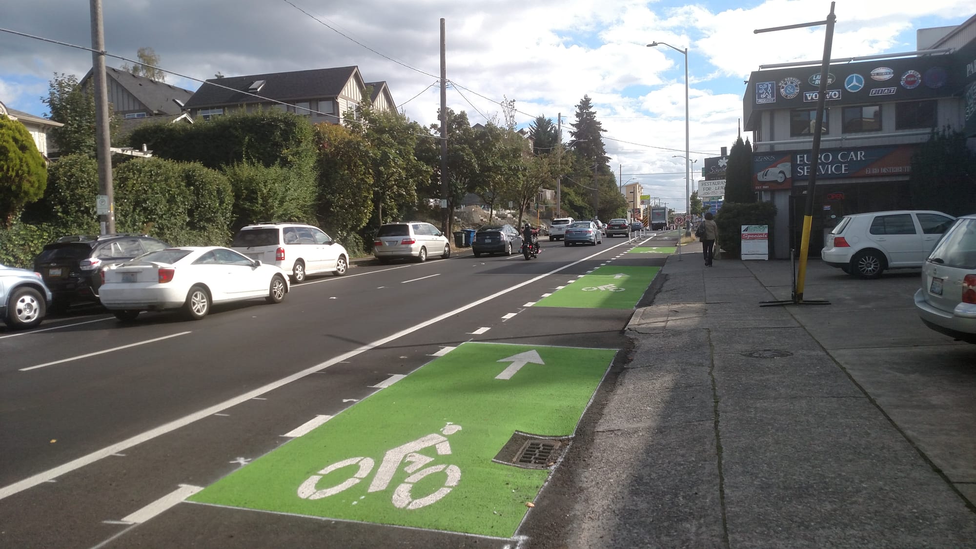
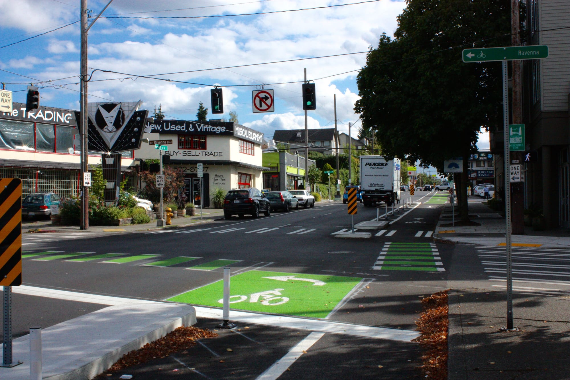
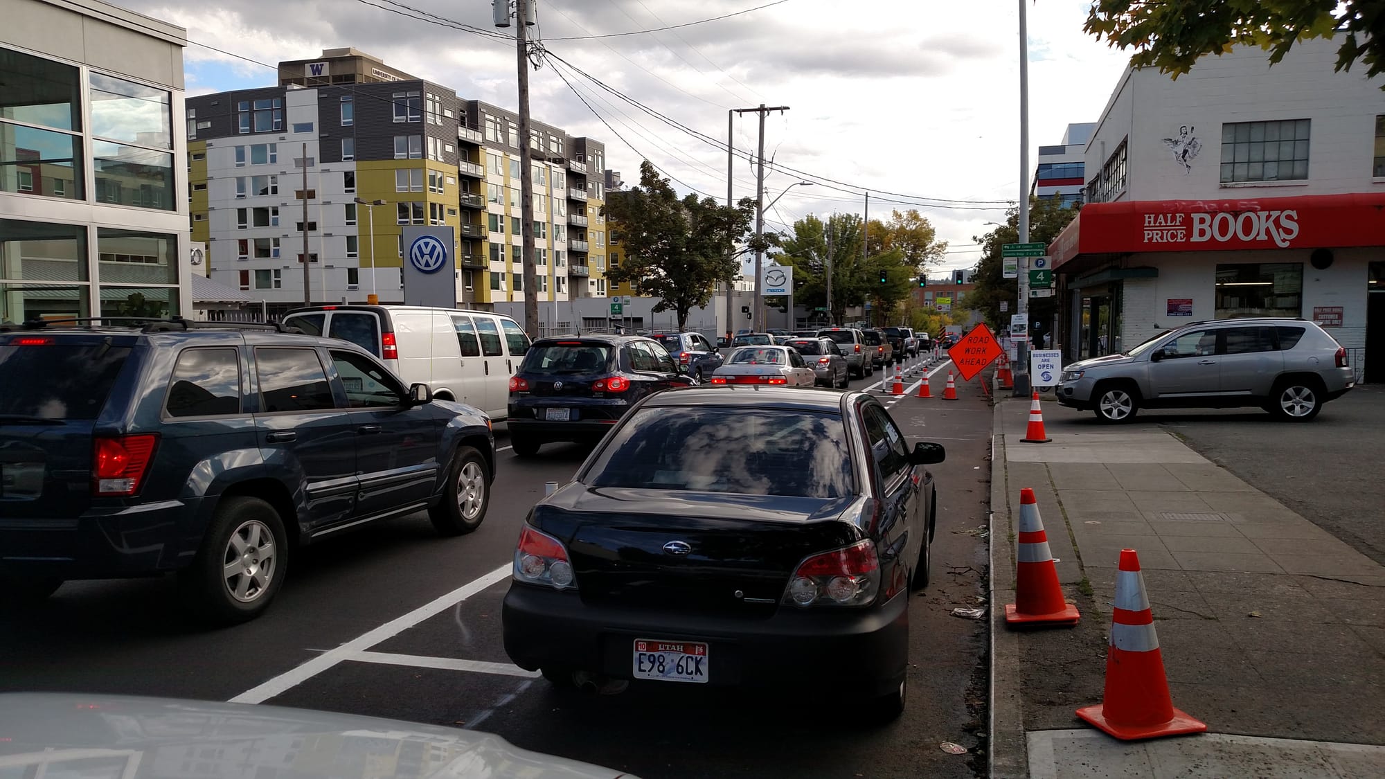
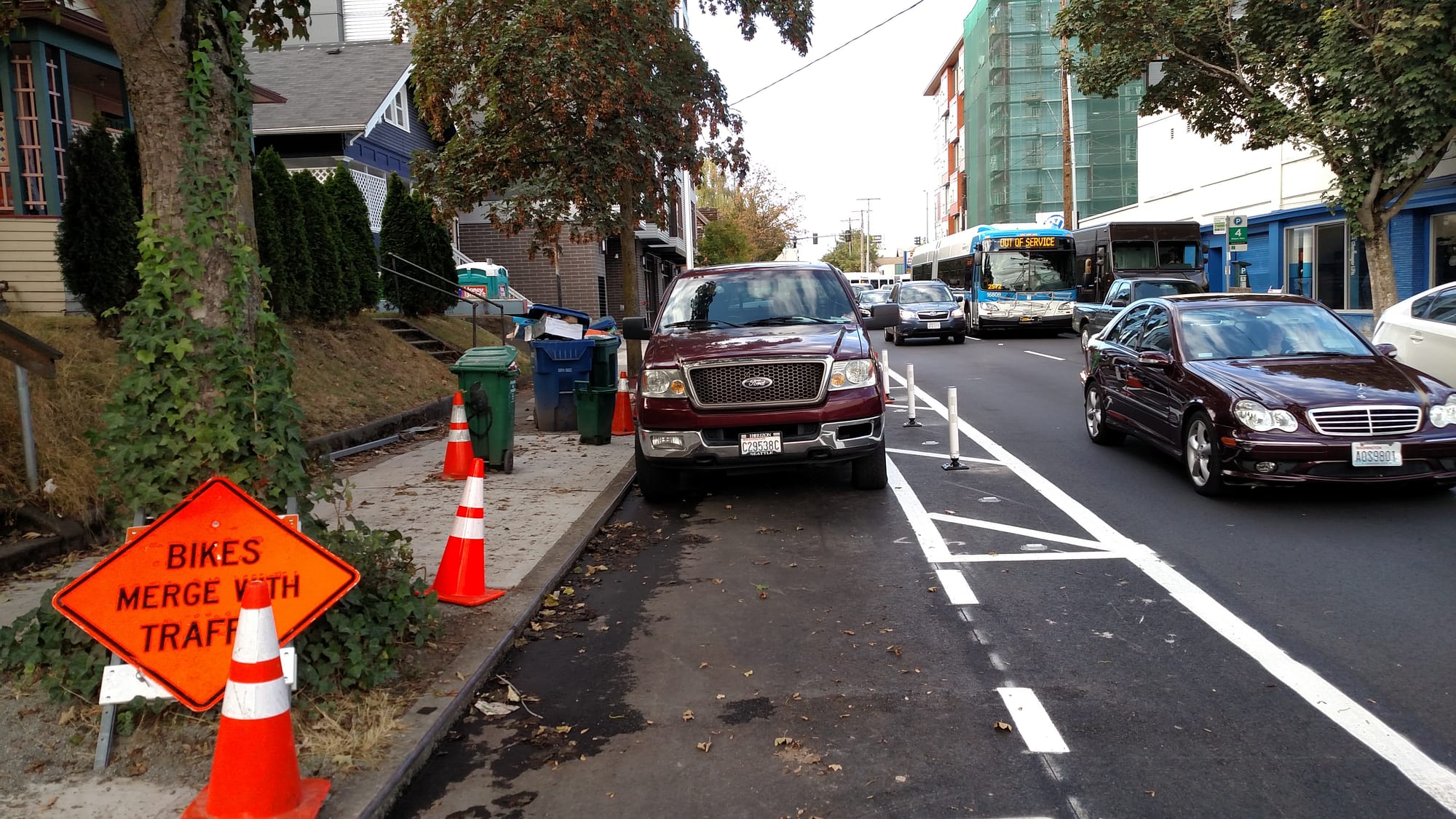
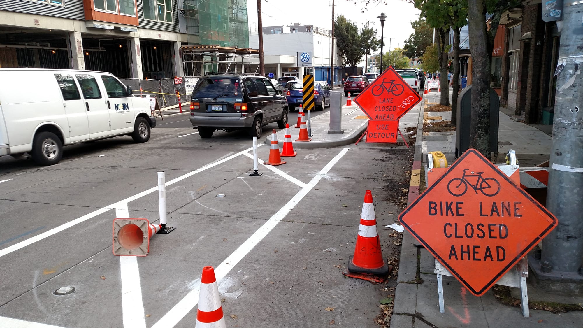
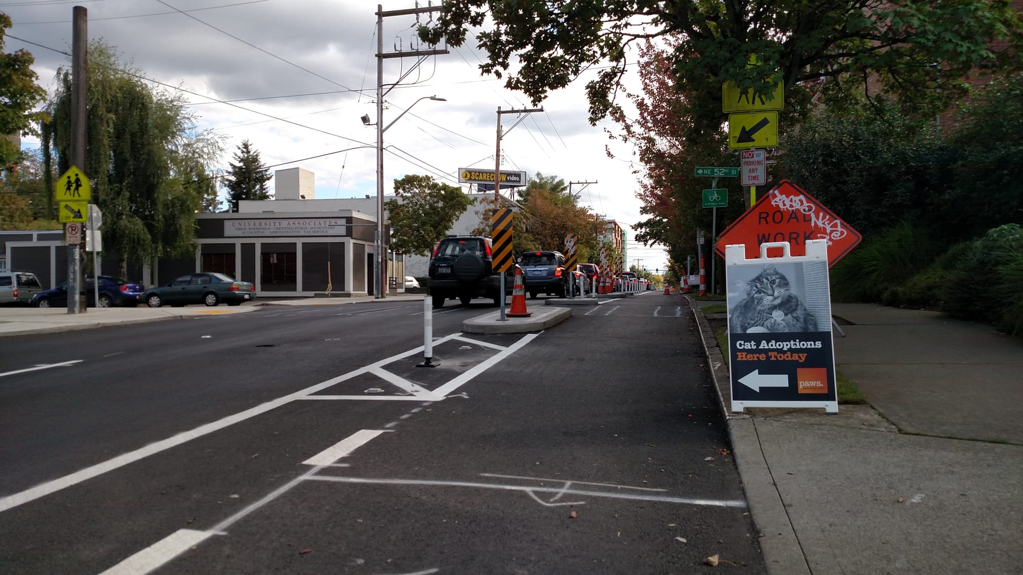
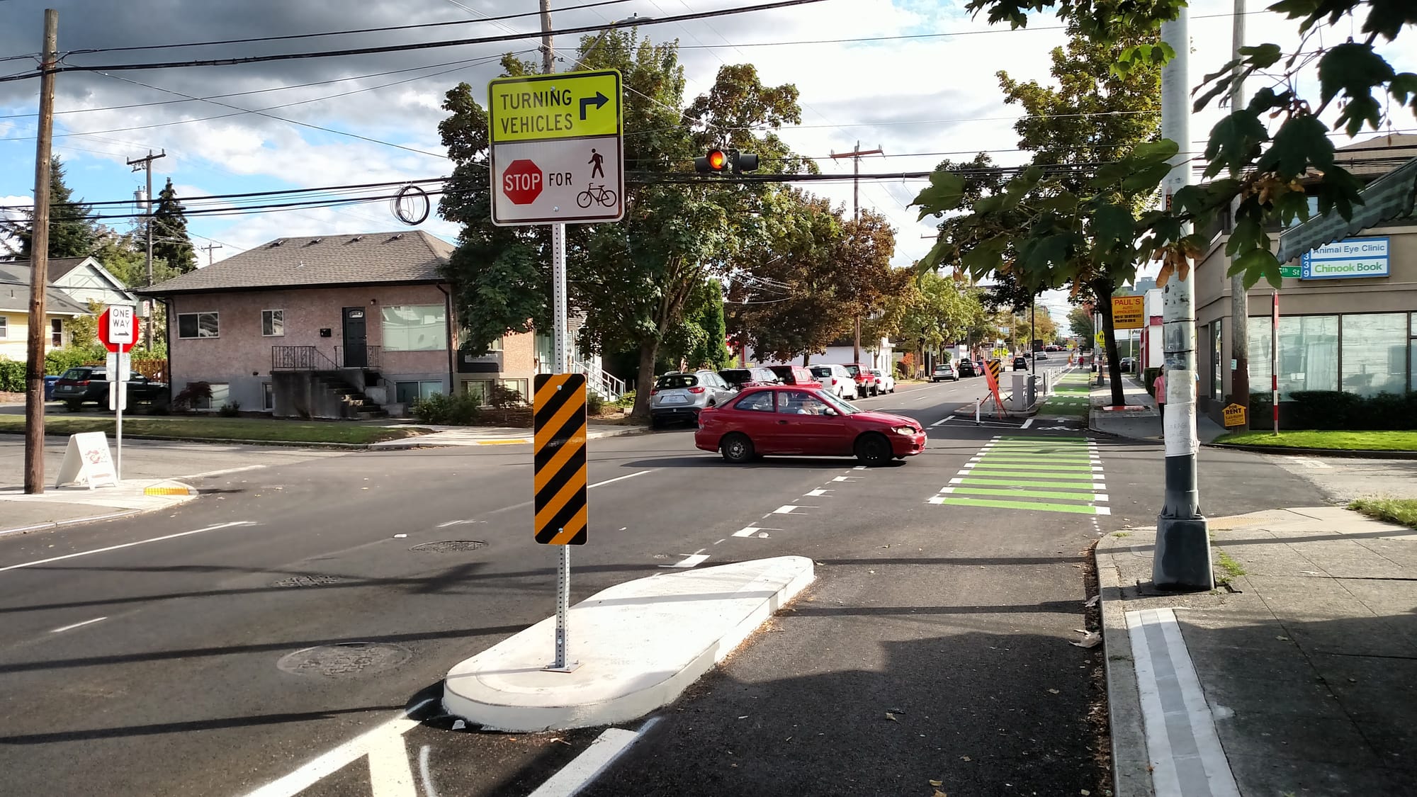


The southbound protected bike lane is completed and operational between NE 65th St and NE 45th St, but utility work and construction makes the stretch south of NE 45th St effectively unusable, even though some of these sections were already installed and SDOT seemed to be using them for parking and equipment storage in the interim. SDOT expects this project to substantially complete in early October with the final touches wrapping up by Thanksgiving.
If you’ve had a chance to walk or ride along any of these new facilities, let us know what your thoughts in comments.