Today you will learn about 11 incredible ready-to-visit street ends on the south side of the ship canal occurring between the Aurora Bridge and Puget Sound. In previous posts, we have looked at street ends around West Seattle, from Ballard to Fremont, from Fremont to Portage Bay, as well as the Duwamish Waterway.
For those new to this series, a little background on Seattle’s street ends is helpful. Because Seattle is bounded and divided by numerous fresh and salt bodies of water the city has what are called ‘street ends;’ or, those streets that end when they encounter a water body and are unable to continue. There are hundreds of such occurrences – almost as many as there are east-west and north-south streets. Many of them, 149, are part of a Seattle Department of Transportation (SDOT) program called Shoreline Street Ends. The program’s goals are to:
- Help create great neighborhoods
- Improve public access to and enjoyment of Seattle’s shoreline
- Enhance shoreline habitat
- Encourage community stewardship of shoreline Street Ends
- Support maritime industry
- Responsibly manage private permits and deter non-permitted encroachments
A little over half of the 149 street ends are defined by SDOT as “worth a visit,” while the remainder are either “not yet ready for visitors” or have “no public access.” Street ends are concentrated along the Ship Canal and Lake Washington, but also occur along each of the city’s other shorelines. Working with the city and neighborhoods to secure funding, pass legislation, and organize work parties, the non-profit and all-volunteer Friends of Street Ends help ensure Seattle’s accessible street ends grow in number and those already serving visitors continue to thrive.
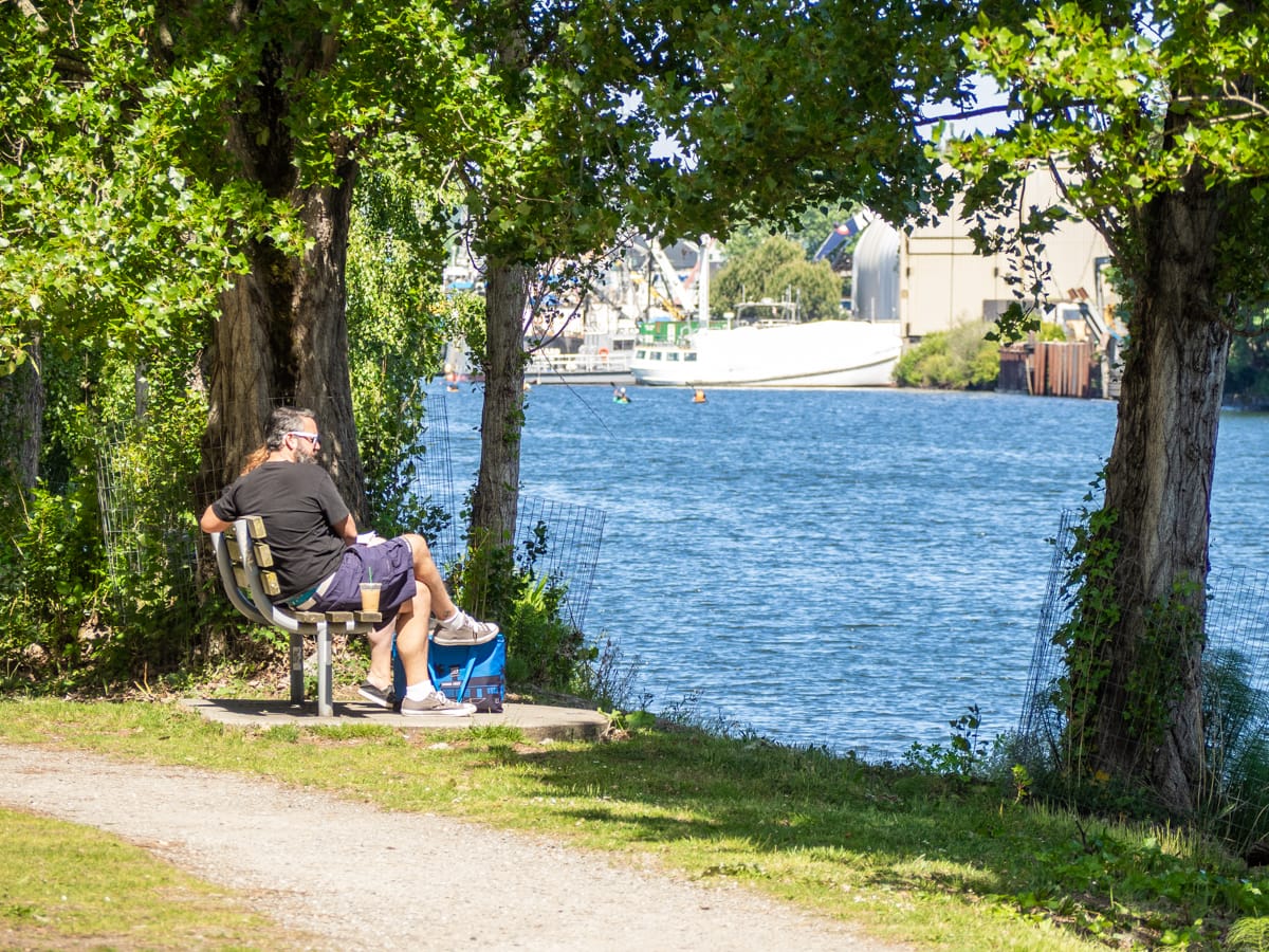
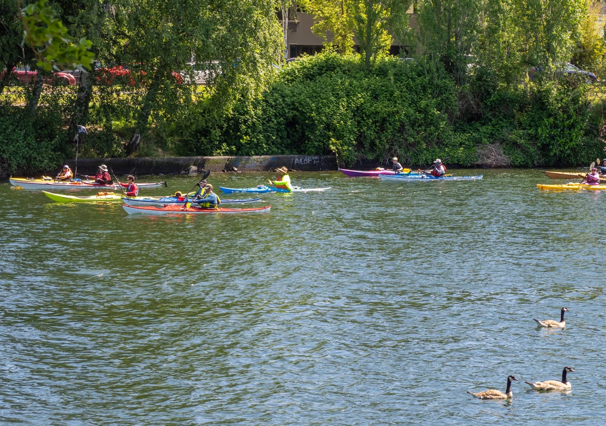
Street Ends vary in character from sandy beaches to docks wedged amongst shipyards and industrial uses. They are spacious and they are compact, and most are very easy to find. They support habitat for native species of flora and fauna and are convenient places to launch a kayak, sailboat, or motorboat. Oftentimes, they are adjacent to waterfront parks, expanding upon those assets. They are as varied as Seattle’s topography, and you can visit them any time.
Cycling is the best way to visit Seattle’s shoreline street ends. Many are accessed from low-traffic streets or bike paths such as the South Ship Canal Trail and its adjacent neighborhood streets, such as those featured in this post.
*****
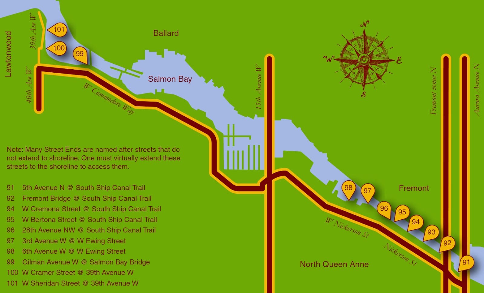
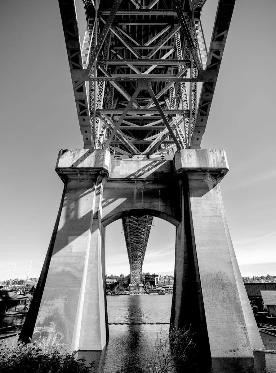
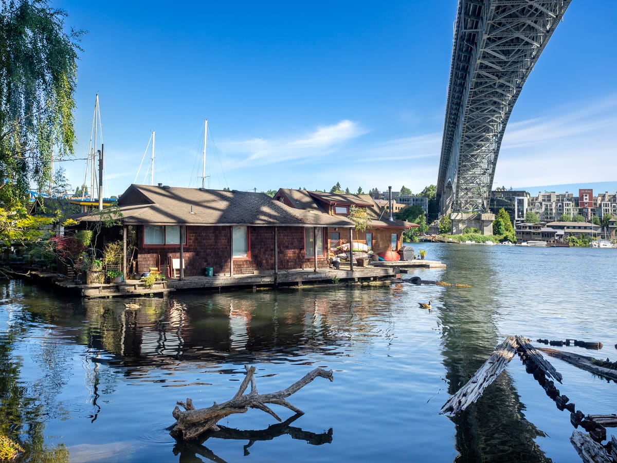
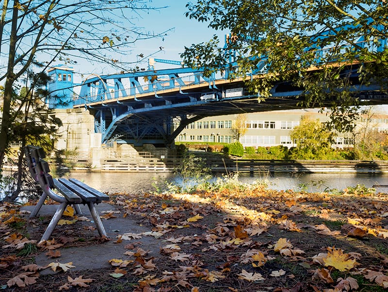
Street End 91 – Aurora Bridge Underbelly
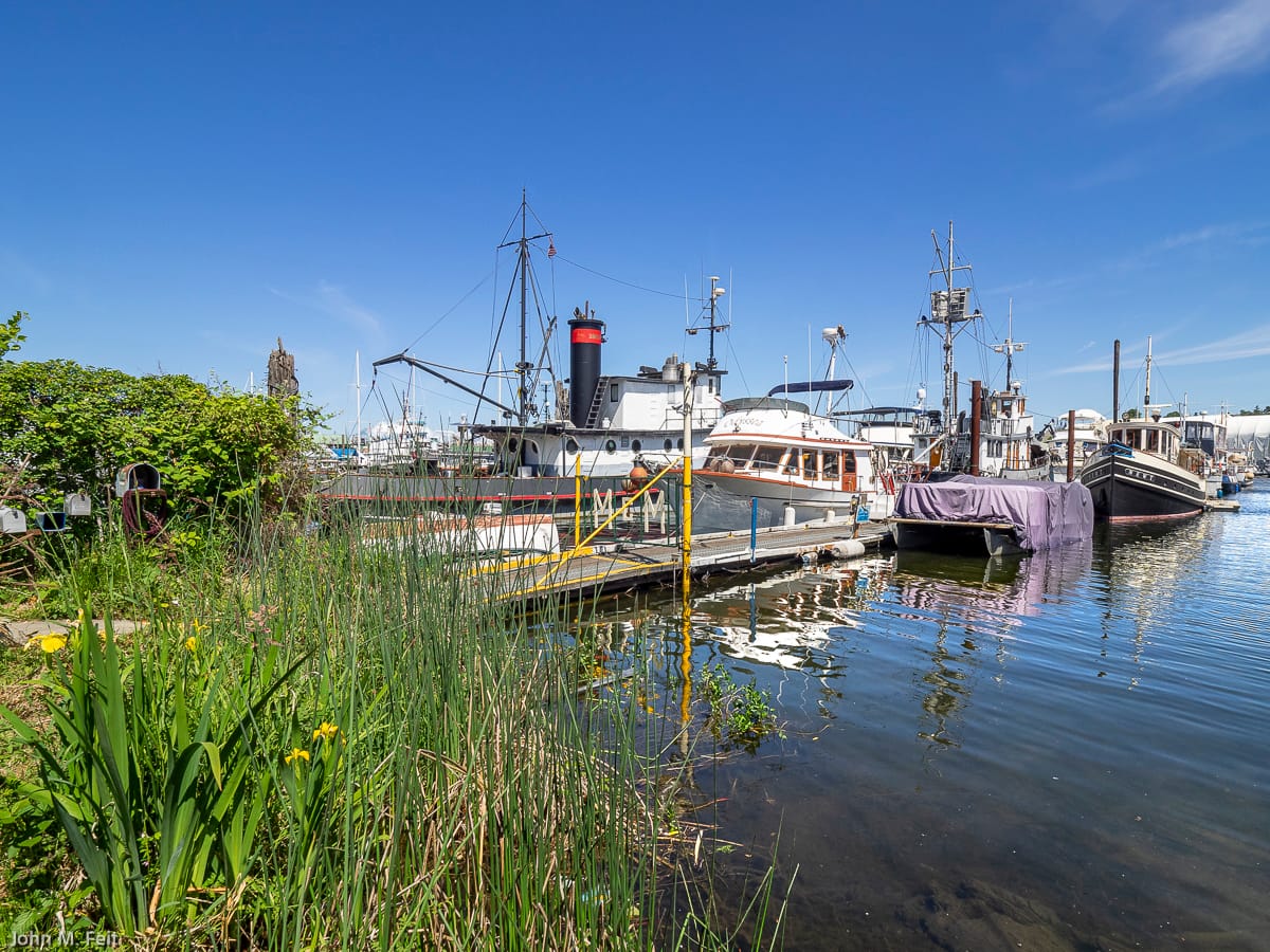
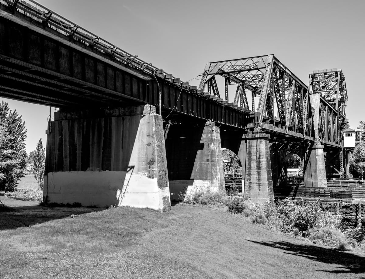
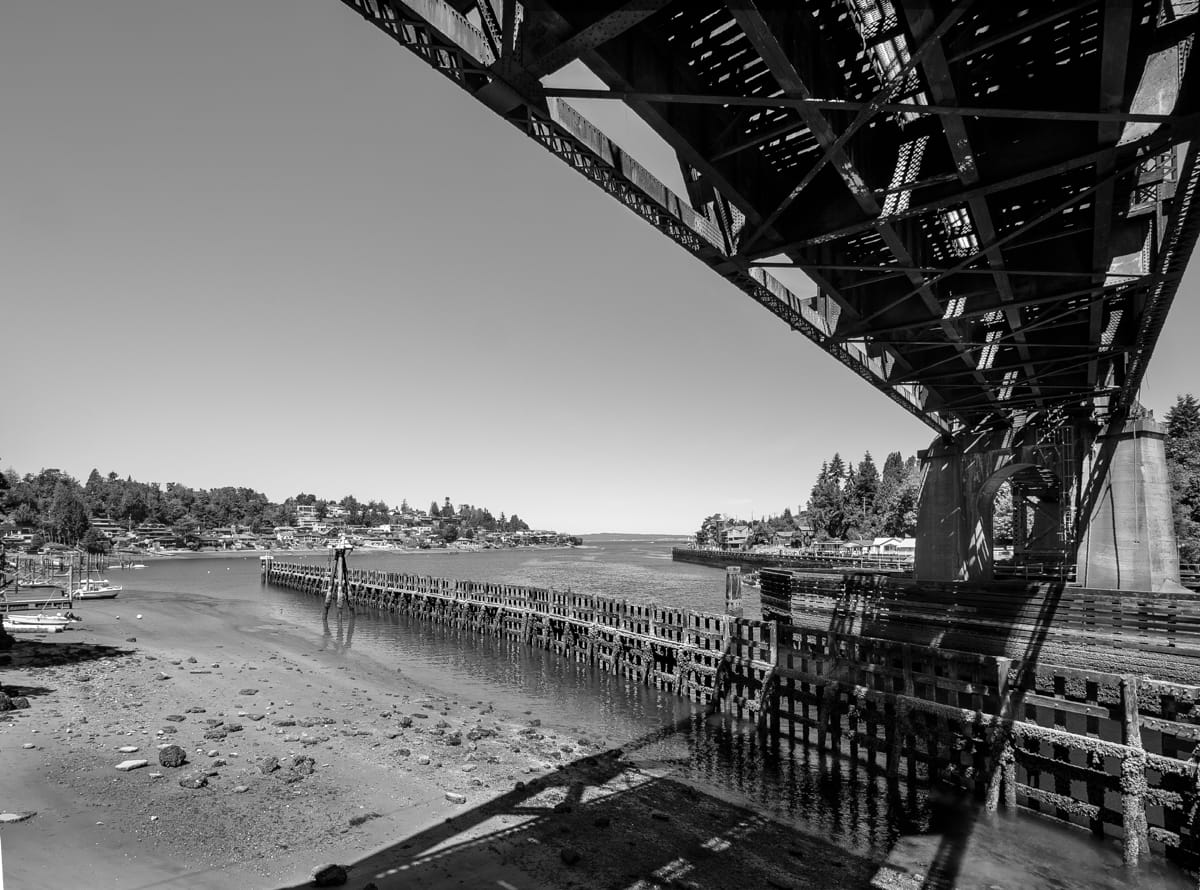
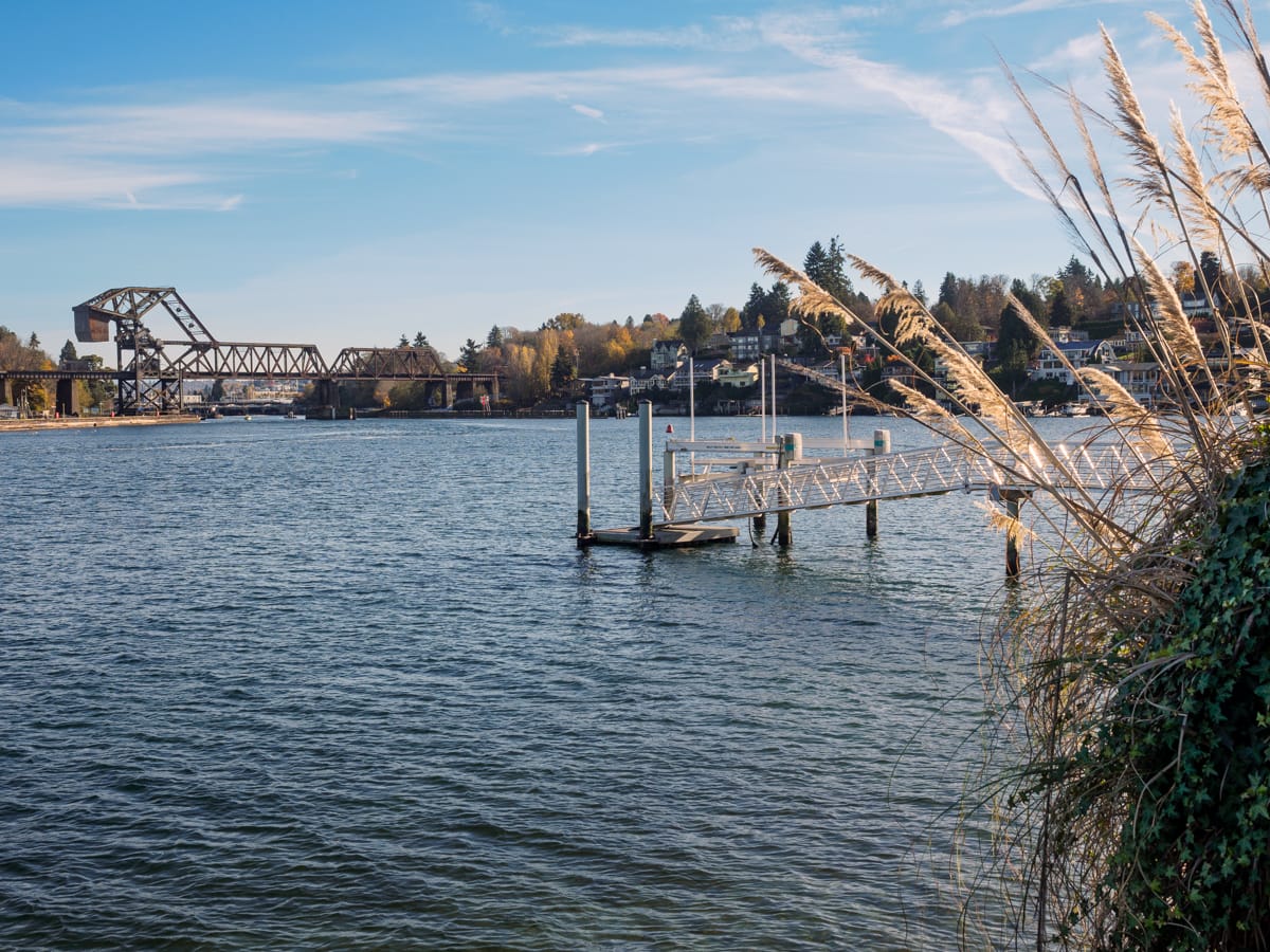
When exploring a shoreline in Seattle you often find yourself at the low side of an escarpment, and in the case of the 5th Avenue North and the South Ship Canal Trail Street End (#91), you are awed by an underbelly view of the Aurora Avenue Bridge hovering about 150 feet above. The juxtaposition of the relative serenity of the water with the bridge’s extraordinary structure is breathtaking. While this is no surprise given the bridge’s iconic presence on the skyline, the bucolic houseboats, placid water, willow trees, and waterfowl beneath it are.
The street end is not officially open to visitors just yet, but its variety of views are available from the pathway (the stairs that provide shoreline access are in disrepair and will be tended to soon).
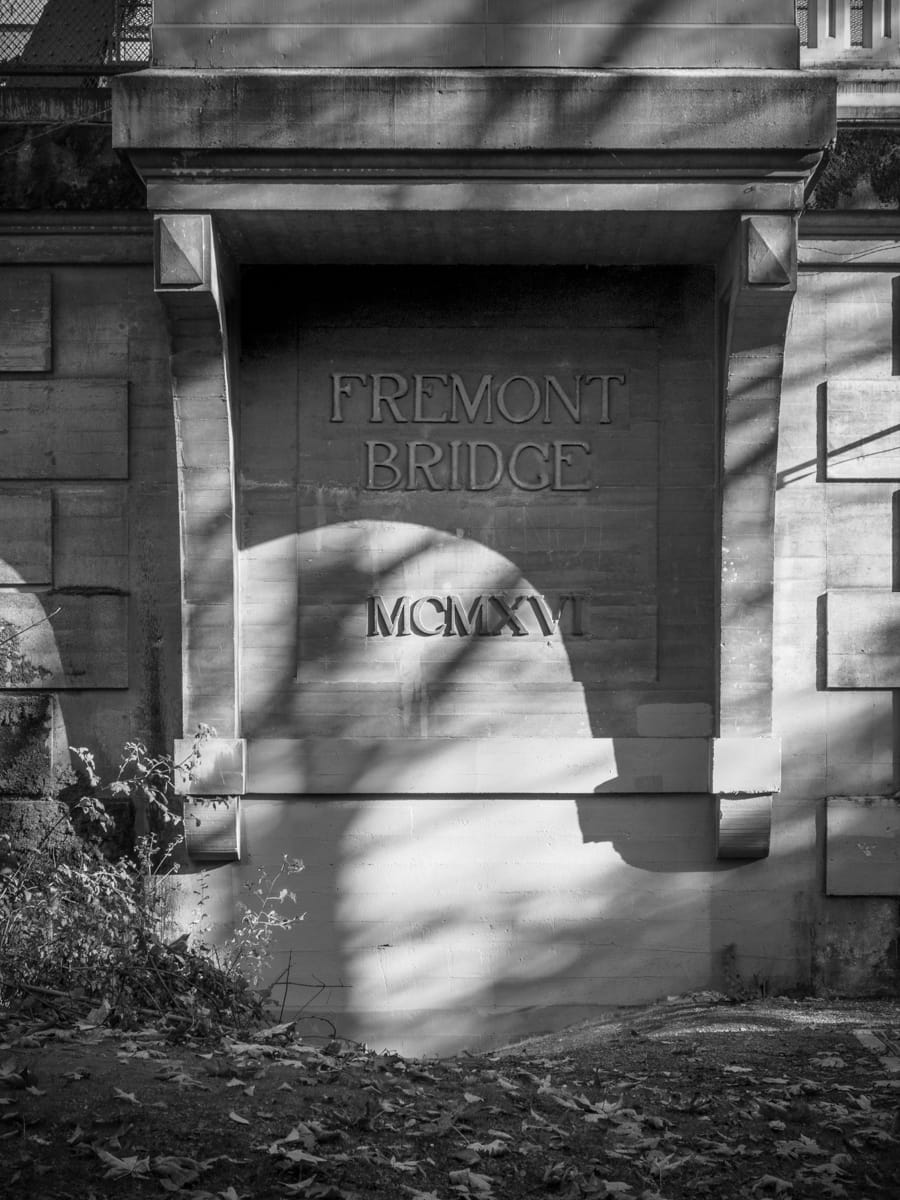
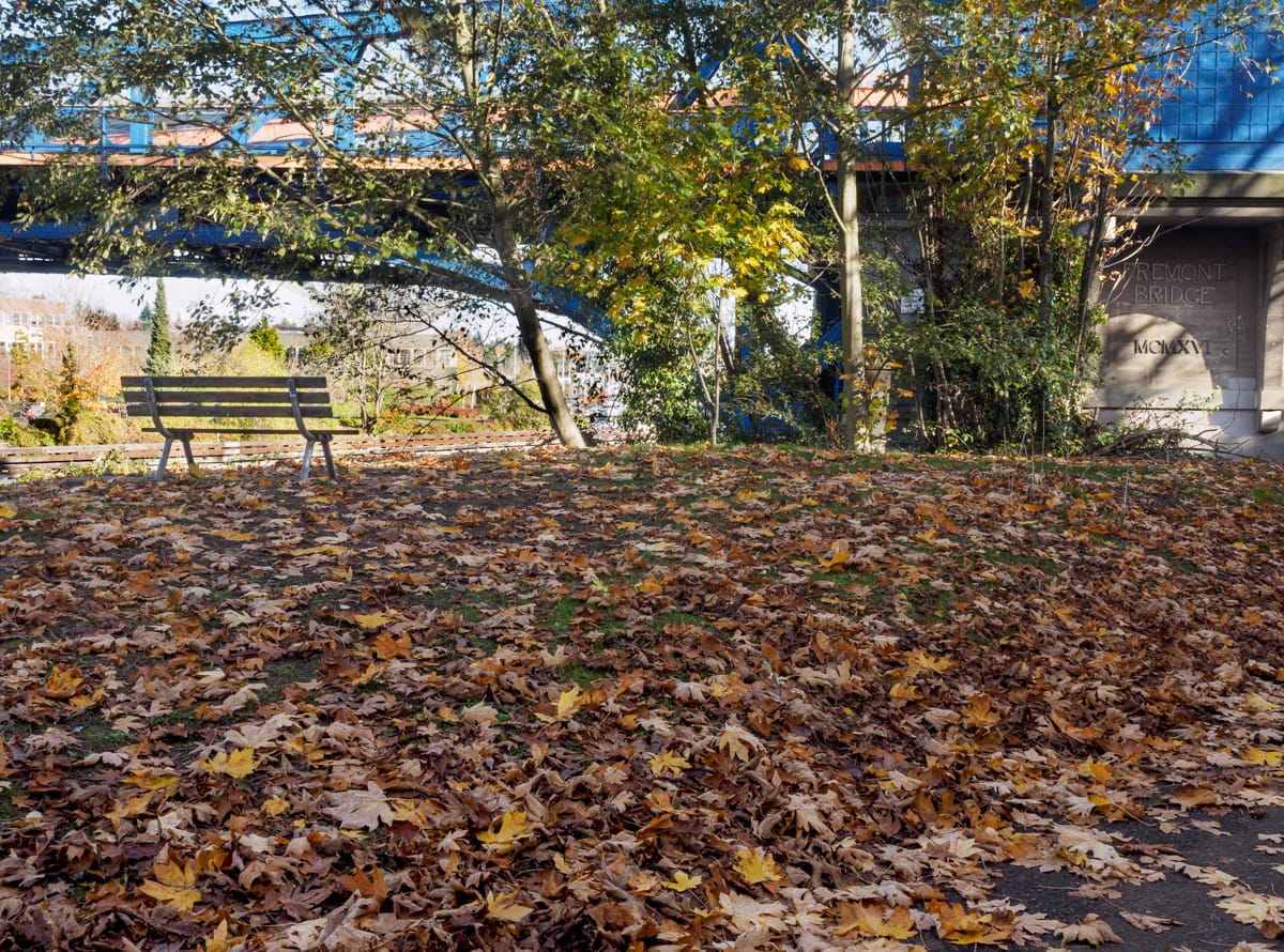
Street End 92 – Fremont Bridge
In the shadow of the Aurora Bridge is the Fremont Bridge, Seattle’s oldest extant bridge and the home to the appropriately named Fremont Bridge Street End (#92). This street end offers a grassy knoll, a bench, as well as a cast-in-concrete sign chronicling the bridge’s completion.
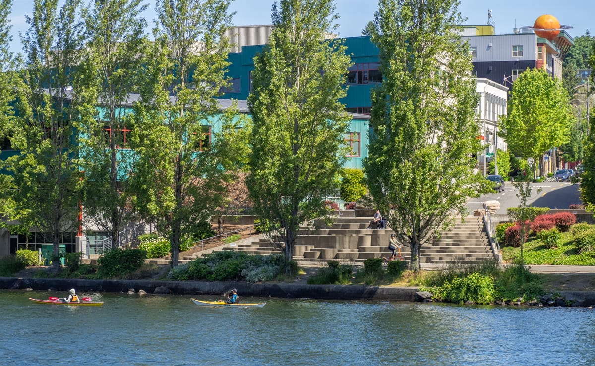
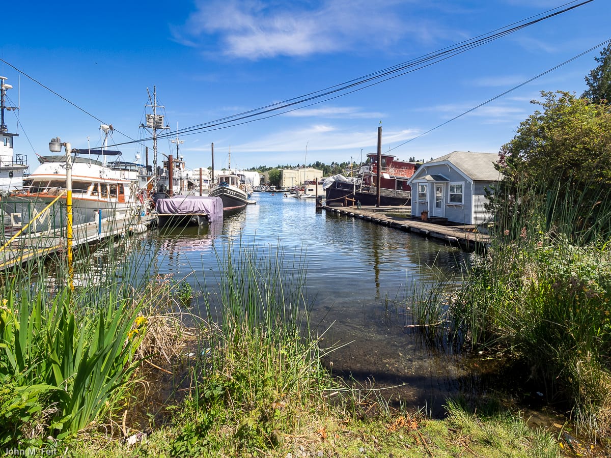
Street Ends 93 – 97 forge a “South Ship Canal Park”
Moving west along the South Ship Canal Trail you find a series of five street ends that blend together and have many shared characteristics: 3rd Avenue North and Etruria Street (#93), West Cremona Street (#94), West Bertona Street (#95), Queen Anne Avenue North (#96), and 3rd Avenue West (#97). These characteristics include immersion in the one of the coziest parts of the ship canal, ample benches and picnic tables, a park-like setting, and a shady tree canopy.
Street End 98 – 6th Avenue W
In contrast to the crisp, sea-wall defined edge of street ends 93 – 97, Street End 98 is a veritable paysage sauvage (although improvements are underway). Its verdant shoreline stands in contrast to those street ends to the east and west.
Street End 99 – Gilman Avenue W
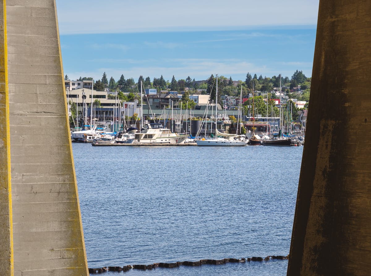
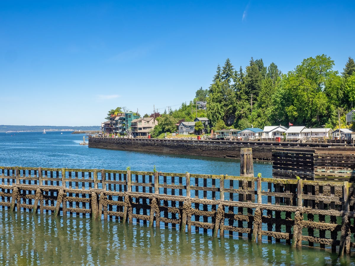
Just west of the Ballard Locks, the Gilman Avenue West Street End (#99) is nestled within Seattle’s finest collection of infrastructure, gardens, and public spaces. The street end affords a fantastic opportunity to view the imposing Salmon Bay Bridge (built in 1914), another of the city’s iconic bridges and an imposing landmark heralding the transition from marine to freshwater environments that occurs at locks to the east.
Street End 100 – West Cramer Street
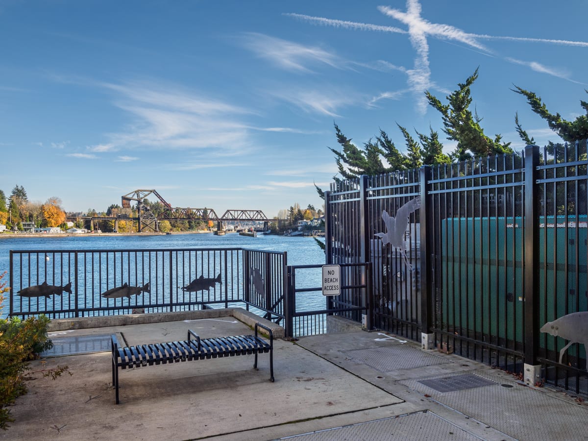
The West Cramer Street End (#100) benefited from Seattle Public Utilities’ (SPU) renovation of their stormwater facility. Artwork frequently adorns such projects, as exhibited by the silhouettes of salmon and of a great blue heron. Karen Kiest Landscape Architects and SDOT helped guide SPU on these public amenities – well done!
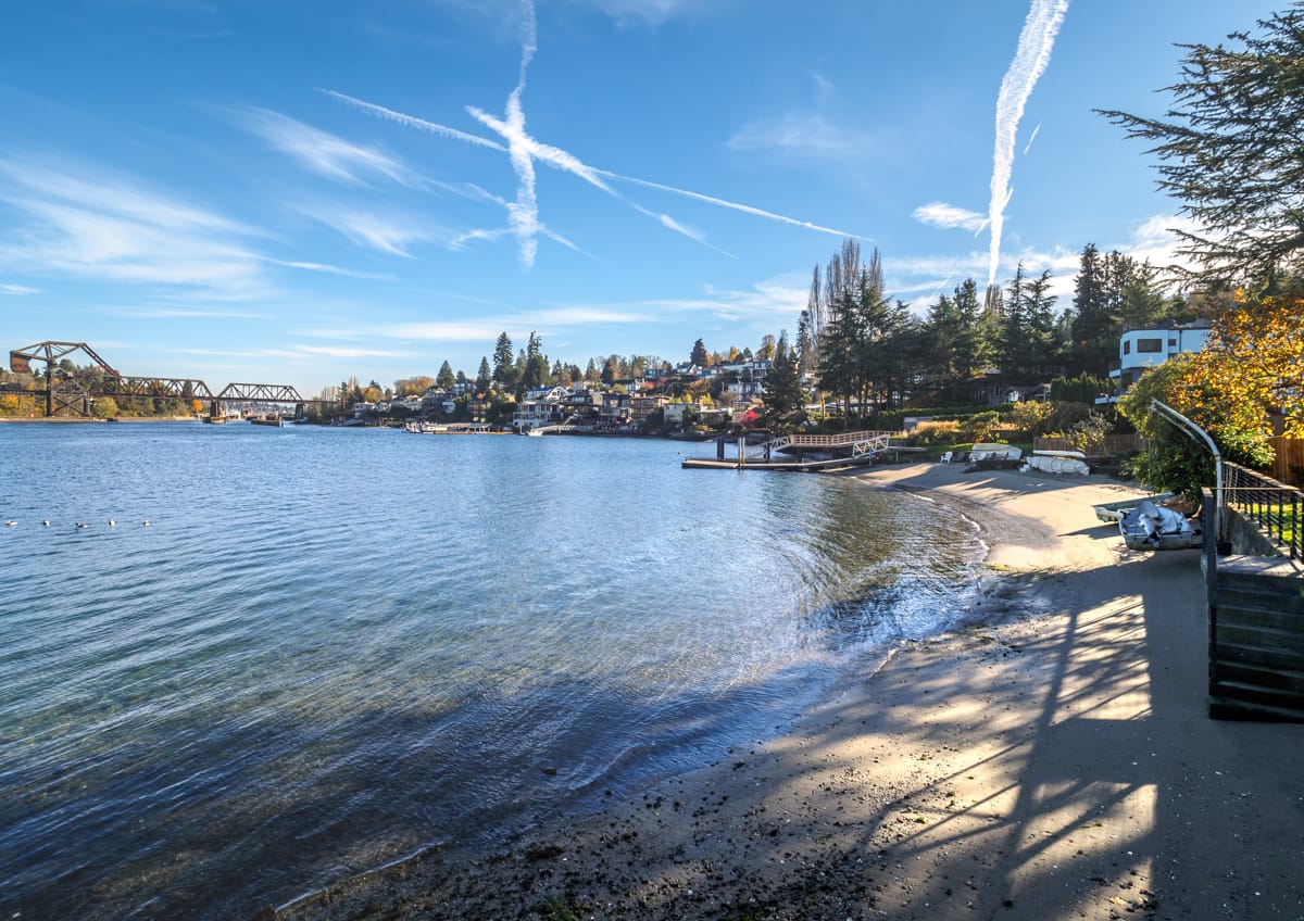
Street End 101 – West Sheridan Street
The West Sheridan Street End (#101) may be remote, but it is as easy to access as West Cramer Street, which is one block to the south.
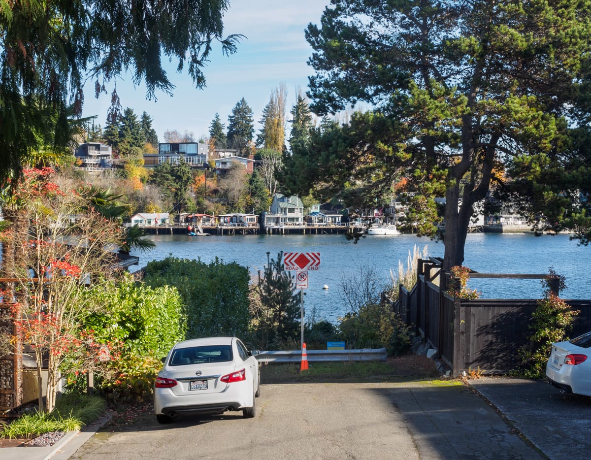
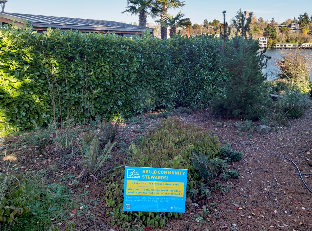
West Sheridan is also typical of street ends in that they rely on volunteers working with the Seattle Department of Transportation and Friends of Street Ends for their stewardship. Contact publicspace@seattle.gov or visit www.streetends.org to find out how you can help. While visiting the Friends website, you will find a handy map (with GPS tracking) to aid you in your explorations.