Conventional planning practices favor cars over pedestrians, precluding a future where Rainier Avenue thrives.
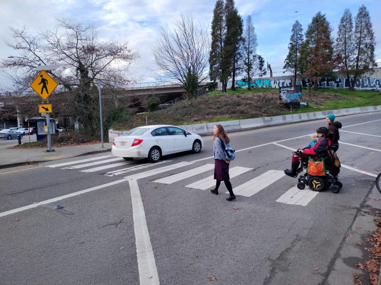
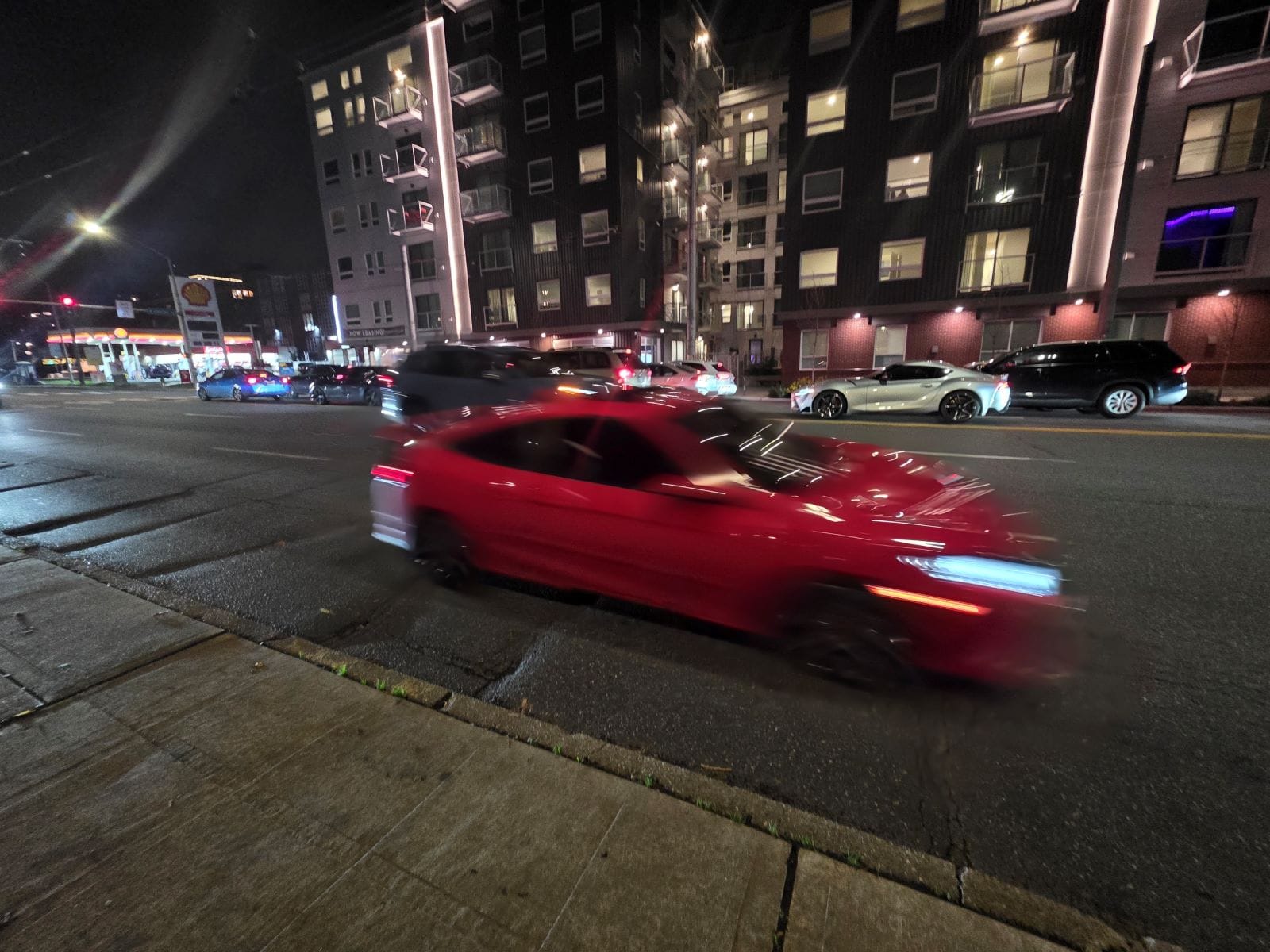
It’s a misty Friday night in December, and even though it’s only 6pm, the sun has been long gone. Everything is damp and dark. My nine-year-old son skips ahead of me on the sidewalk. I fight the urge to call him back and grab his hand. The sidewalk is narrow and there’s no parking strip protecting him from six lanes of high-speed traffic coming off I-90. I tell myself if a driver leaves the road, it won’t make much of a difference if he’s standing on the far side of me or not — we’ll both be toast.
A few months ago a six-year-old child was critically injured by a speeding vehicle in a nearby crosswalk. Even before that, I always turned on my phone camera and held it up like a protective shield when crossing in hopes that the threat of video evidence would prevent us from getting hit.
I first encountered this stretch of road in 2019 when my son started childcare nearby. We had just moved back to Washington State, partially because it felt like a place I, as a nondriving parent, could get around safely. But walking to and from our childcare center I found this stretch of road to be totally out of place in a city that strives for great transit and biking and walking.
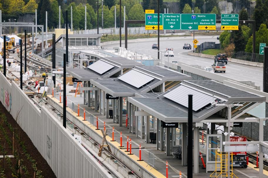
I was even more appalled when I learned that we were building a light rail station right in the center of what is essentially highway spaghetti: a clover leaf of unsignalized ramps and slip lanes where vehicles accelerating to or de-accelerating from highway speeds encounter the major north-south thoroughfare and transit route in Southeast Seattle.
Six years later, my kid is back at school in the area, attending Thurgood Marshall Elementary that sits just up the hill from this interchange. It’s one of several schools in the vicinity — Hamlin Robison, Seattle Girls School, and Giddens. Between 2025 and 2026, more than 1,500 newly constructed apartment units along this stretch of Rainier will be ready for move in.
Thanks to advocacy from community members and leadership from public agency staff, there’s been a host of small-scale improvements to make this area safer for pedestrians, starting with changes in 2020 that narrowed crossing distances on the ramps and reduced a double on-ramp to a single lane. More recent changes built elevated crosswalks and installed additional flashing beacons.
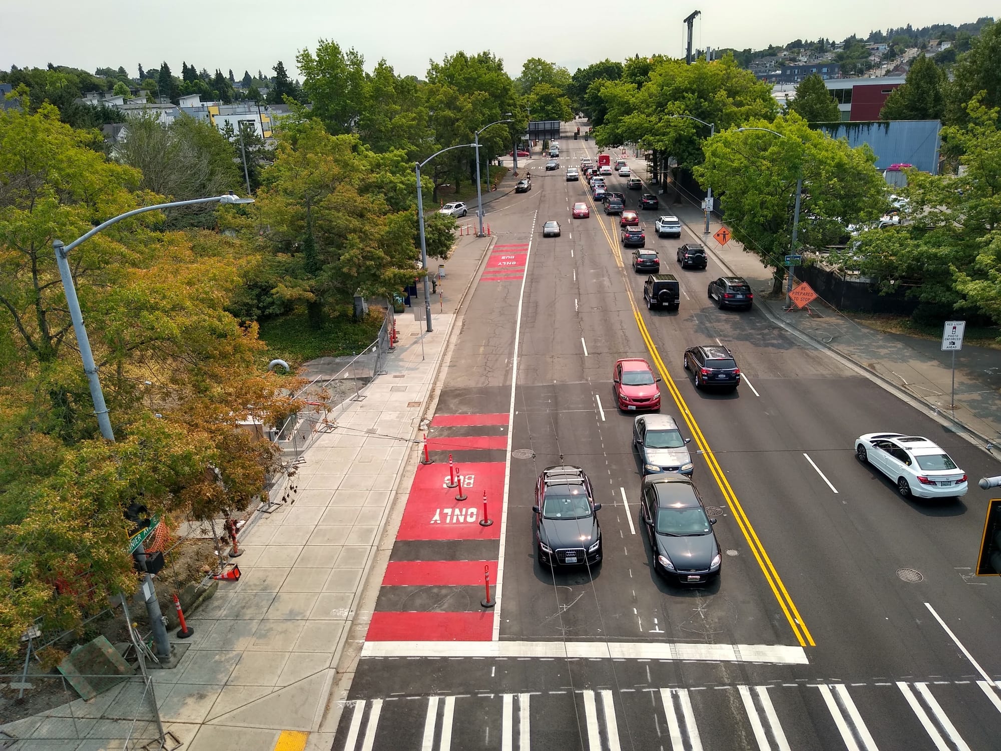
But the challenge remains. To cross Rainier means navigating across six lanes of traffic. People needing to travel north or south along Rainier Avenue are forced to cross unsignalized ramps, playing chicken with cars accelerating to or decelerating from highway speeds. As blind pedestrian and advocate Micah Lusignan explained after he joined me on a walk audit of the area: “That’s tough: they can’t see me and I can’t see them.”
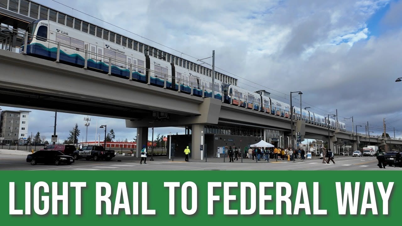
Walking along, trying to cross or waiting for transit along Rainier Avenue is inherently stressful because of the high volume of vehicles traveling at high speeds. But it doesn’t have to be this way. Instead of prioritizing cars trying to get to and from the highway, what if we redesigned this area to reflect the needs of the thousands of families that live in apartments and go to school here? When the light rail across the lake opens next year, King County Metro anticipates this becoming one of the busiest transfer points in their system.
What if this was a transfer hub where you would want to sit and linger? What if the area featured wide, smooth sidewalks, pedestrian-scale lighting, greenery, art, and a place to get coffee or use the restroom? Rainier could be a place where you would want to live, not just because the apartments are relatively affordable but because it’s vibrant with people, local businesses, and excellent transit access.
But if we continue to try to move as many private cars as quickly as possible along Rainier and onto I-90 and I-5, this vision can’t be realized.
That’s why I’ve been advocating with other residents, parents and transit riders for bigger changes. In 2021, we worked with State Senator Rebecca Saldaña on a budget proviso earmarking funds for the effort, but the budget it was part of didn’t pass. The following year, we supported the Washington State Department of Transportation (WSDOT) in applying for a federal RAISE grant, but it too was unsuccessful. In 2023, WSDOT applied again and this time was successful in securing the grant, which partnered with the state’s connecting communities program. The grant funds early phases of community outreach and planning needed to reach an initial “30% completed” redesign of the I-90 ramps.
I share this context because I want you to know how hard advocates, elected officials and agency staff worked to secure this funding. And I’m worried now that we’re potentially squandering the opportunity to plan for the kind of city we need.
I am a member of the project’s community feedback advisory committee and work to design safety improvements is underway. But from what I’ve seen so far, the effort is limited by our underlying assumptions. The traffic modeling by WSDOT contractors and staff for this intersection (which is based on traffic projections embedded in Seattle’s comprehensive plan) assume that traffic volumes will remain the same through the year 2050; this is what critics call “predict and provide planning” that creates self-fulfilling prophecies – cities build for more traffic and it appears.
Since many U.S. transportation engineers erroneously project endless growth in car traffic, a flat projection might seem like a step in the right direction. With projected population growth in the Seattle region, maintaining current traffic volumes will indeed require fewer car trips per capita and more people to shift travel modes away from cars.
But here’s the rub: if we want to keep the traffic levels we have and maintain reasonable traffic flow on and off highway ramps (as required by federal guidelines) we have to keep most of the tarmac intact. In fact, some of WSDOT’s design ideas even included adding more lanes to Rainier to accommodate cars entering the highway.
Refusing to envision fewer cars on Rainier greatly limits our ability to plan for a corridor that returns some dignity to those of us walking, rolling, or waiting for the bus.
Projecting future traffic volumes to match current traffic volumes means we’re limited in envisioning what this area could look like with wider sidewalks, shorter crossing distances for pedestrians, slower speeds and less air pollution. And it’s not just this project — the same limitations will also limit what is possible for Aurora, Highway 99 in South Park, complete streets on the 45th street overpass, and Lake City Way.
The only way to reclaim these spaces for people is to imagine a future Seattle with less car travel. We must insist that the WSDOT consider multimodal planning options that reduce total automobile traffic and invest instead in more affordable and resource-efficient transportation. What is possible on Rainier Avenue if traffic volumes are cut in half? What is possible if we close Rainier’s I-90 ramps and instead invest in excellent transit service and affordable housing?
Our city and our region have climate, environmental justice, and traffic safety policies that direct us that, rather than planning for a future where we continue to expose apartment residents, school children, and workers in this area to the air pollution and crash risk of a major highway interchange, we should instead be planning toward a future that reduces these harms. Thanks to reduced car volumes with congestion pricing, New York City just saw transit use jump and a 22% decrease in particulate pollution, which is a major health risk linked to asthma.
We could have that here if we are creative and bold.
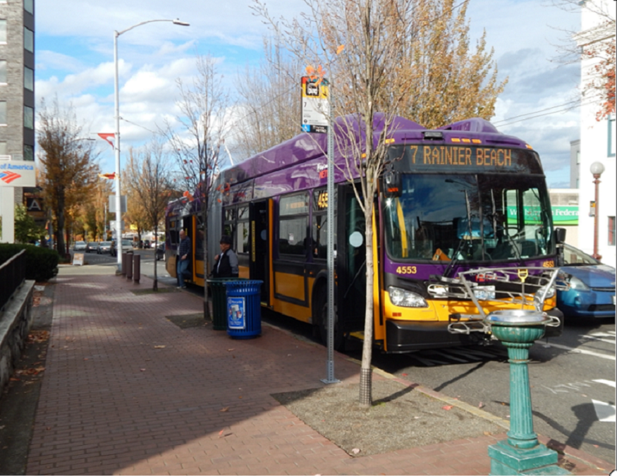
In addition to the WSDOT planning and design work around the I-90 ramps, the Seattle Transportation Levy is planning a major repaving project, which will trigger complete streets upgrades of sidewalks and bike infrastructures along Rainier from Walden to Jackson. This work will happen in conjunction with the planned RapidRide R Line project to upgrade the Route 7 bus. We shouldn’t squander these opportunities by insisting that we must maintain car volumes. It’s time to dream bigger about the kind of community we can build.