Map of the Week: Rainfall Across Seattle Neighborhoods
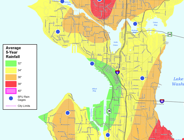
Some places in Seattle are wetter than others, according to new data from Seattle Public Utilities. SPU recently released a map showing variations in...
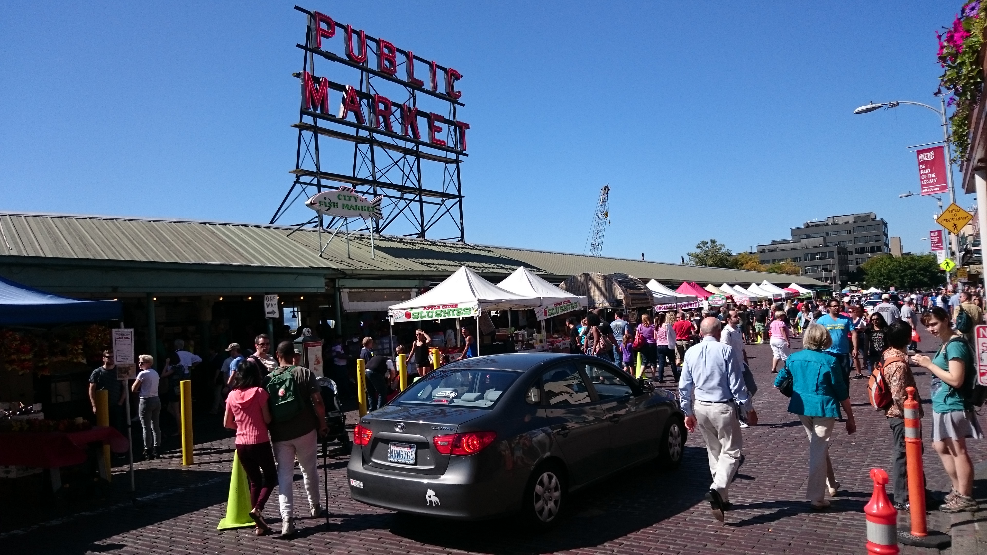
Observing People in Pike Place, Part 1
Article Note: This is the first installment of a series on observations of people in Pike Place. Part 1 focuses on existing design features...
Sunday Video: The Value of Data Sharing
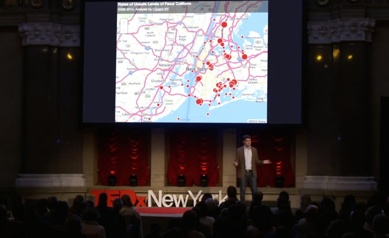
Releasing data captured by government agencies in an accessible way to the public, has the potential to produce interesting insights about city life. Ben...
Map of the Week: Equal Population Mapper
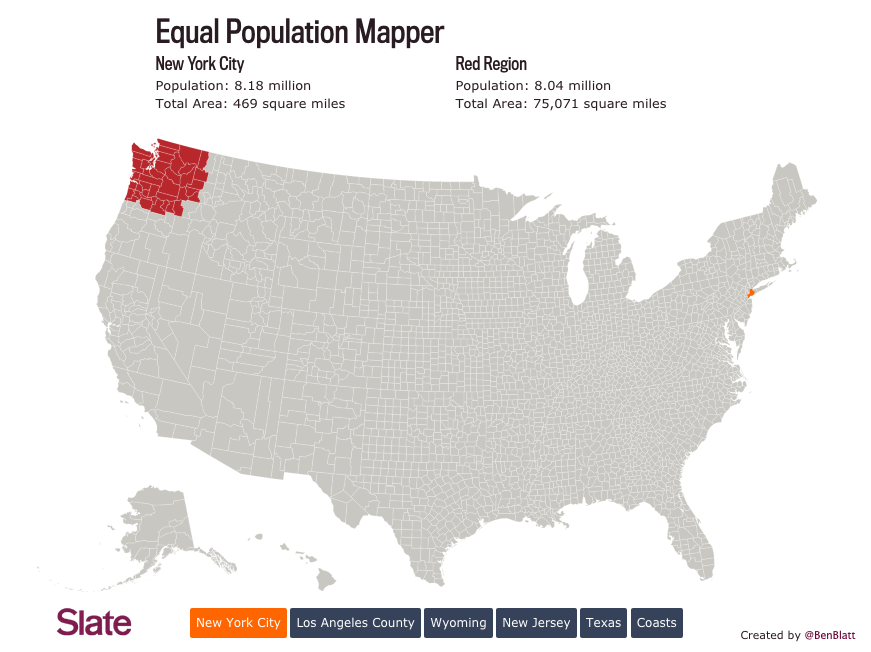
The good folks at Slate introduced a creative mapping tool, dubbed the Equal Population Mapper. This interactive graphic allows users to pick a population...
Map of the Week: Lack of Sidewalks in Seattle
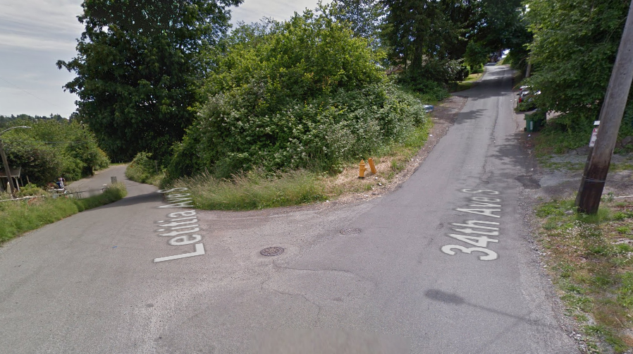
Most long-time Seattleites know that sidewalks are a highly charged and controversial discussion point in many neighborhoods. But that's not because people don't like them....
Sunday Video: 1884 Cartograph of Seattle
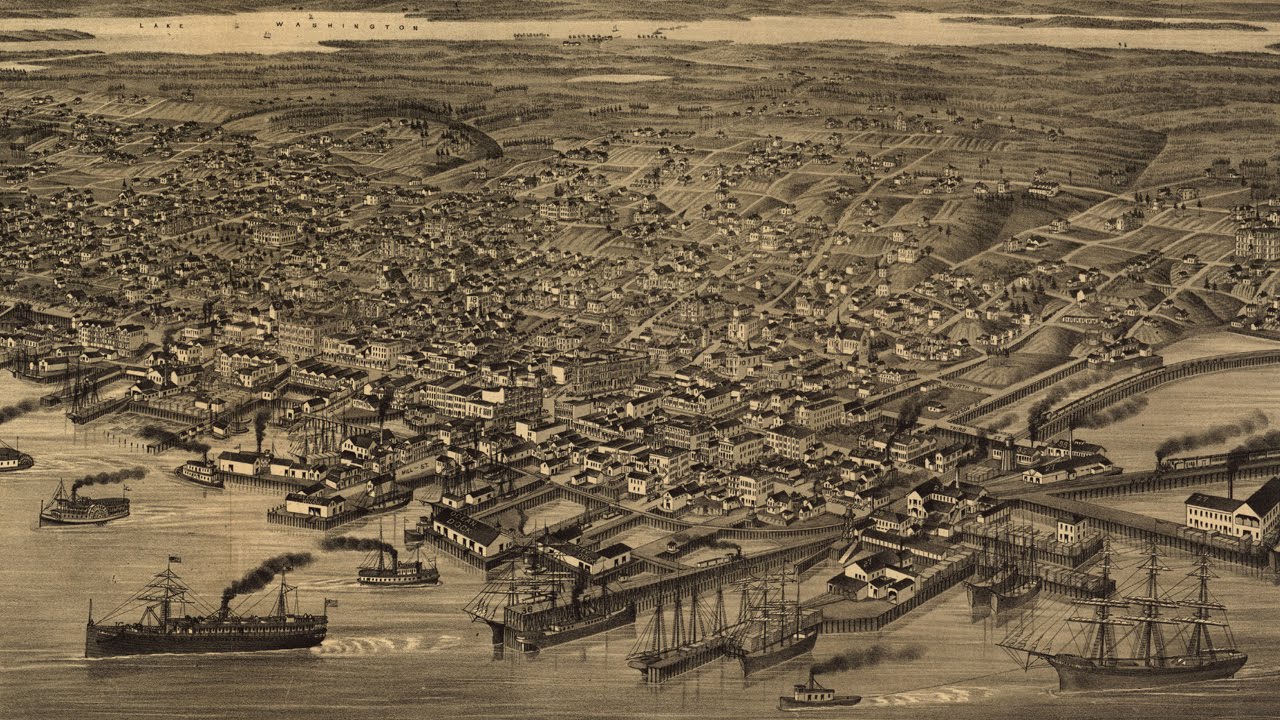
An 1884 cartograph details a growing Seattle as it was at the time. One presenter takes viewers through the map features and history contained...
Map of the Week: King County’s Localscape
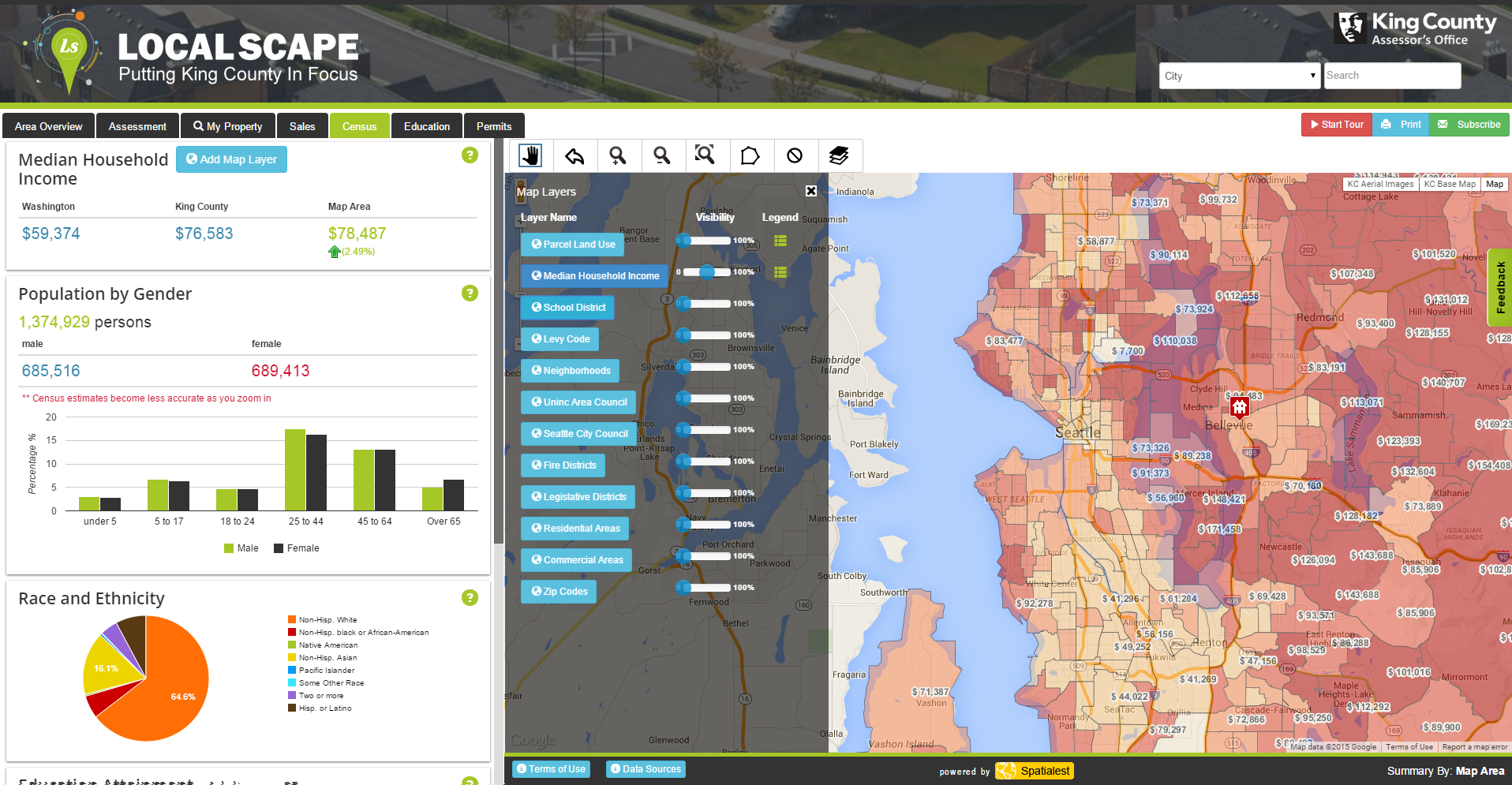
Have you ever wanted to know the racial diversity of your neighborhood, how your local schools rank, or where development permits have been recently...
Map of the Week: Every Job in the Puget Sound
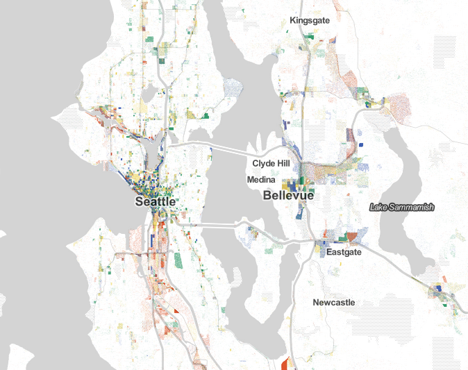
Jobs, jobs, jobs. It's all about the jobs. But where exactly are they? Robert Manduca, a PhD student at Harvard University who specializes in sociology, data, and...

