In April, I wrote about the failure to turn Seattle’s high tech corridor in North Downtown away from being a car-centric office park and into a neighborhood for people. South Lake Union is for cars, I wrote then. This summer, Mark Ostrow demonstrated exactly how some of the investments in car infrastructure—coming after the $140 million investment in “fixing” Mercer Street—are prioritizing cars over people. So much parking for cars is being built in new South Lake Union buildings that it’s not surprising that the neighborhood has a lot of traffic. Currently congestion is the main deterrent to driving in South Lake Union, which doesn’t make for a pleasant area to spend time in.
But a recent survey conducted by the Seattle Department of Transportation (SDOT) caught my eye. The survey, conducted over eight days in spring of this year, asked people who were walking in South Lake Union at a variety of locations how they got to the neighborhood that day.

According to the survey results, 22% of the people who didn’t live in the neighborhood said they got there by walking. Now, the fact that this was a sidewalk survey is not lost on me, but the fact that, according to this, as many people walked to South Lake Union as took the bus is a notable result.
It’s not a particularly stellar result—note that in SDOT’s sidewalk previous intercept surveys, 38% of University District respondents and 48% of Pike/Pine residents said they walked to the neighborhood. But it’s a glimmer of hope.
Sure enough, according to Commute Seattle’s 2016 commute trip survey data, which only looks at employees who start work between 6am and 9am at businesses large enough to be targeted by the commute trip reduction (CTR) program, found that South Lake Union had the highest number of people who walked to work (9.3%), on par with Pike/Pine and almost double the rate in the central Downtown commercial core.

South Lake Union is actually pretty hard to walk to: with Aurora Avenue not breachable for several blocks between Denny and Mercer, and I-5 forming a barrier on the east between Denny and Lakeview boulevard, pedestrians often have to go far out of their way to get where they need to go, which can be slow on foot.
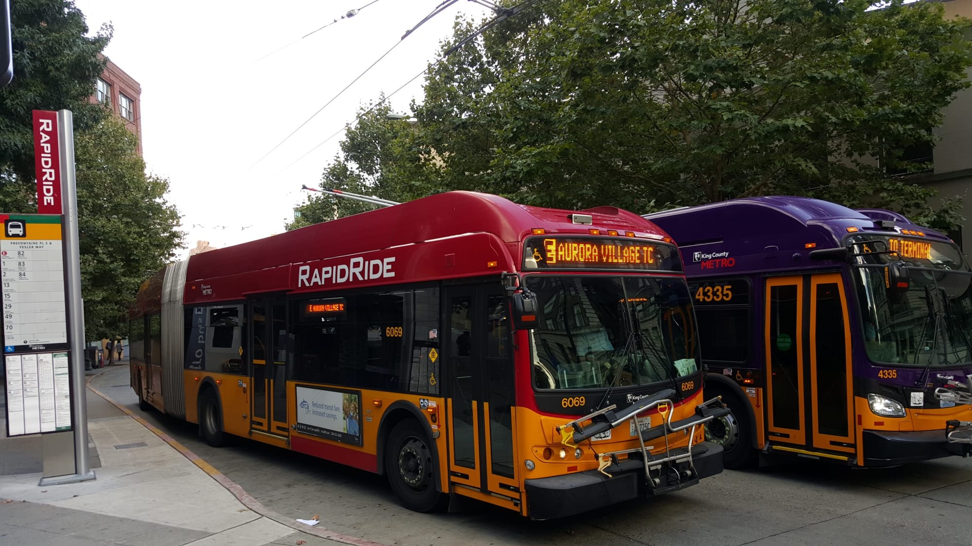
On the other hand, transit agencies have been slower to directly serve South Lake Union, and even slower to provide transit service priority in the neighborhood. The South Lake Union Streetcar, RapidRide C Line, and Route 40 finally have dedicated bus lanes along Westlake Avenue, but daily these transit routes are slowed by the “adaptive” signaling that prioritizes private vehicles on Mercer Street over these high ridership bus lines running perpendicular to it. Furthermore, the buses are caught in the same traffic that the adaptive signal program is inducing in the corridor. Might a factor in South Lake Union’s high pedestrian commute rate be that those commuters have simply given up on transit?
The Seattle Times jumped the gun earlier this fall when it reported that a bus lane along Denny Way would be added between Fairview and Stewart Streets in short order. They later had to retract their reporting when it was revealed that the Seattle Department of Transportation did not, in fact, have permission from Seattle City Light to repaint the lanes alongside the new substation at Minor Avenue N. We reported on this short bus lane last year as it began planning stages. When it does finally get implemented next year, it should make some difference for one of the most perpetually late buses in Seattle, but it will not magically turn the Denny Way I-5 parking lot into a speedy transit corridor.
There are additional investments on the way for transit riders in South Lake Union, and we really can’t receive those investments fast enough, but what about that 22%? What are we doing to make walking in South Lake Union easier and safer?
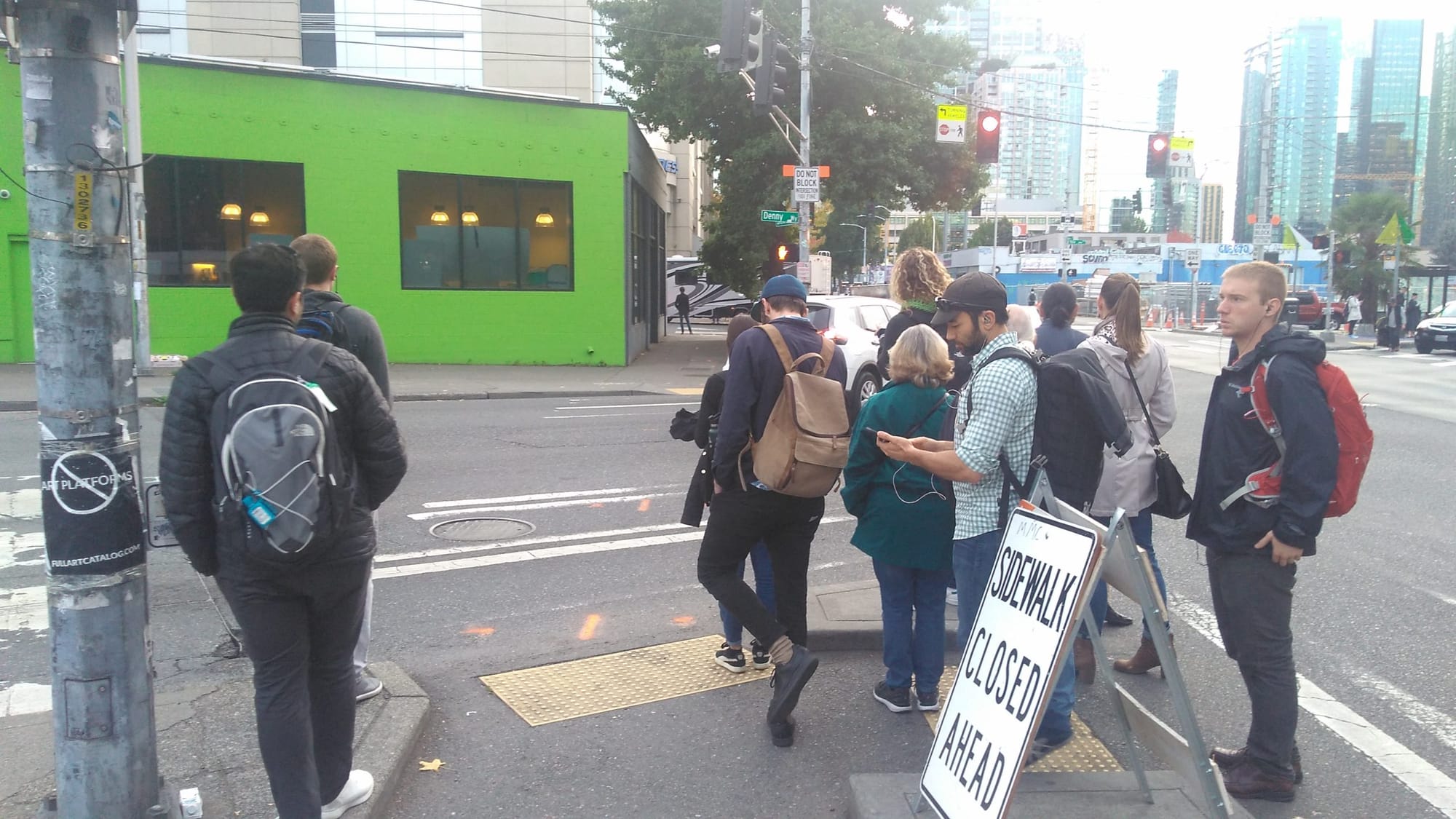
In August, SDOT installed a $100,000 pedestrian signal across Denny Way at Terry Avenue. This pedestrian “half signal” only changes when users request to cross using the button and after a long wait. The crosswalk for pedestrians was only added to one side of the intersection, under the fear that drivers may not always stop in time when traveling downhill.
New crossing at Denny and Terry. Build it and … family heading to crosswalk pic.twitter.com/TotH59v0kQ
— Dongho Chang (@dongho_chang) August 22, 2017