Seattle Region’s Extensive Blanket of Exclusionary Zoning Illustrated in New Study
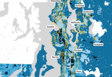
It's no secret that restrictive zoning is prevalent in the Seattle metropolitan area, but a new study underway at the Urban Institute is taking...
Progressives Win Seattle Primaries, Data Points Them as Favorites in General
After losing three consecutive mayoral races and six of nine Council seats in two years, Seattle progressives sealed their best Primary election in over a decade. Across the board, Seattle progressives head into November as favorites.
Map of the Week: Every Job in the Puget Sound
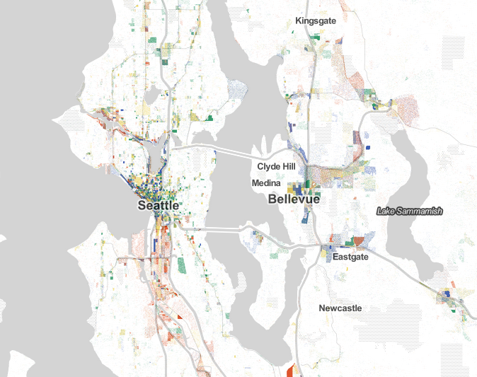
Jobs, jobs, jobs. It's all about the jobs. But where exactly are they? Robert Manduca, a PhD student at Harvard University who specializes in sociology, data, and...
Fact Check: No Explosion in Demolitions
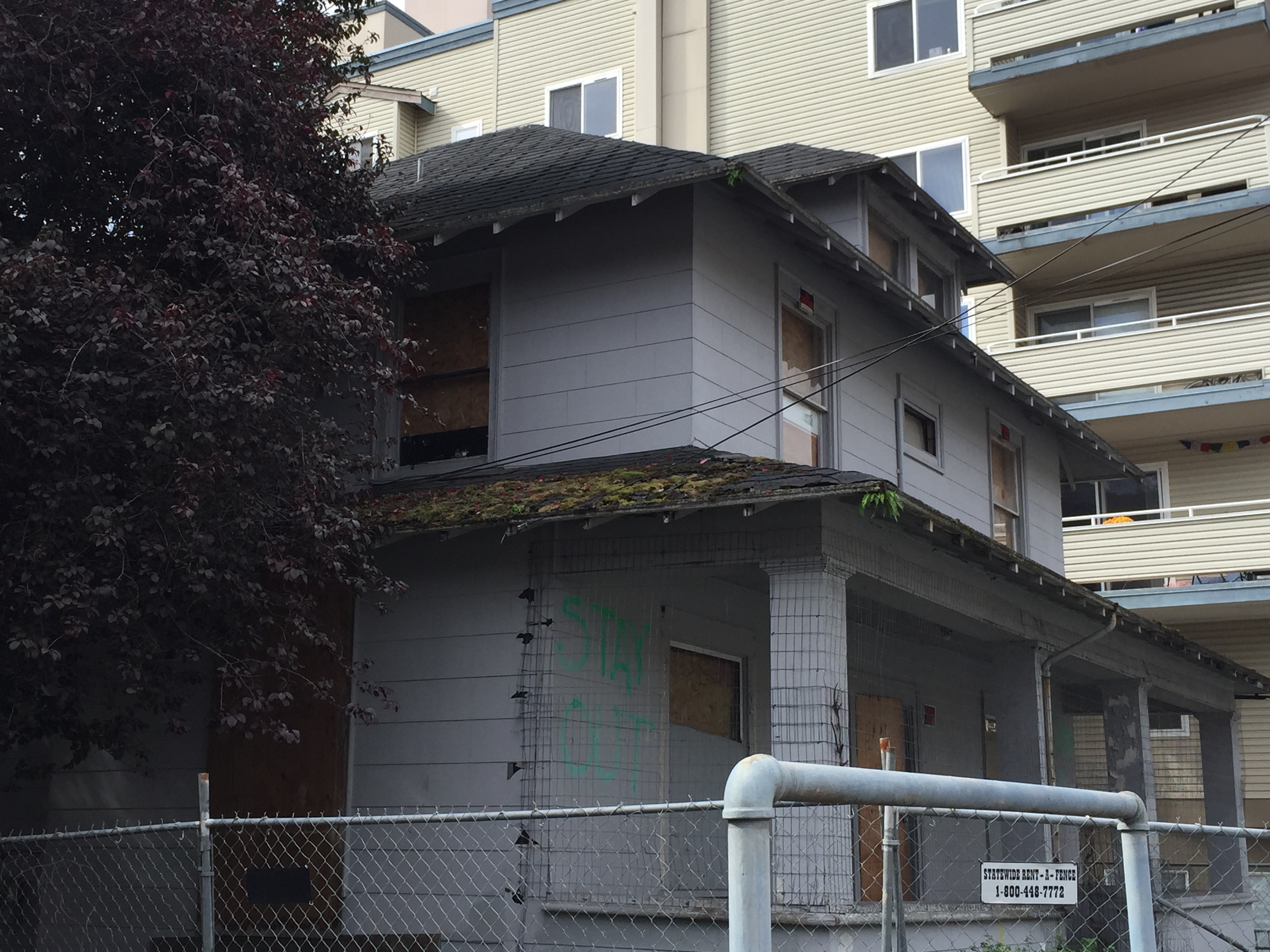
Two recent articles, the first in ARCADE magazine, the second a follow-up in Seattle Magazine, have claimed that Seattle is experiencing an enormous and...
Lynnwood Link Brings Huge Ridership Boost to Community Transit’s Swift Network
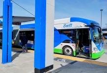
All three Swift Bus Rapid Transit routes operated by Community Transit saw double digit increases in ridership following the extension of light rail into Snohomish County, including a 36% jump for the Orange Line.
How Downtown Redmond Grew from Sleepy Suburb to Small City
Redmond's 1993 Downtown Plan led to an urban transformation that saw the construction of over 5,000 new units between 2000 and 2020. This Saturday, light rail arrives to support that urban growth.
Washington Legislature Toys with Age Verification for Big Tech
Lawmakers are aiming to add guardrails to the most addictive social media sites when it comes to usage by kids. But privacy and civil rights advocates are warning of significant unintended consequences.
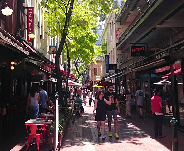
Melbourne: A Case Study in the Revitalization of City Laneways, Part 1
Article Note: This is the first installment of a two-part series on laneways, see Part 2.
“We need an approach that will see our cities...


