Editor’s note: This is cross-posted from The Northwest Urbanist.

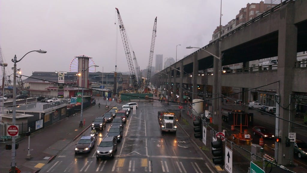
A group of Seattle residents called Park My Viaduct is campaigning to convert the city’s waterfront freeway into a linear park, akin to New York’s High Line. They are proposing to save 14 blocks of the concrete double-decked structure, put the idea to a vote in the November 2015 election, and construct safety improvements at a cost of $250 million. But this idea is in opposition to the entire purpose of the ongoing waterfront reconstruction, which has already had a public participation process and is currently being built. The entire viaduct should be demolished as planned.

Aesthetics and accessibility
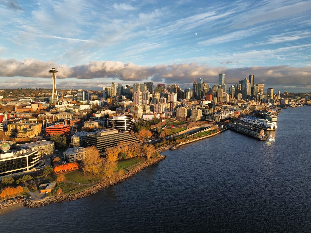
The campaign’s main point is that the view from the viaduct is spectacular. Unfortunately, the view of the viaduct from anywhere else is depressing. Its heavy gray columns and decking are an aesthetic burden on the heart of Seattle’s waterfront and a constant reminder of the car-centric planning that the city should be moving away from. Walking underneath feels oppressive, dark, and dangerous. It contributes nothing to urban livability, and that won’t change much even with well planned walkways and vegetation on top of it. There are equally stunning and accessible views of Puget Sound and the Olympics from many places along the waterfront, like Myrtle Edwards Park, the Olympic Sculpture Park, Colman Dock, and the many piers.
The planned waterfront parks include an artificial hillside leading up to Pike Place Market that will offer equally impressive sightseeing. Marshall Foster, Director of the Office of the Waterfront, explained that the Overlook Walk “…connects people and makes this critical connection from the market and Pike-Pine to the waterfront,” and “…gives you that great elevated view over Elliot Bay”. He said it is more cost effective to build a new well-designed structure for this purpose rather than preserving the old one, and that removing the viaduct is “…foundational to everything we’re doing right now”.
The seawall reconstruction, also a key part of the project, is on-track to be completed in mid-2016 and within budget. The City negotiated a win-win with waterfront businesses when it compensated them for closing during the nine months of construction, which Foster said is cheaper than maintaining access would have been. Pier owners are taking advantage of the closures do make significant repairs to their own structures.

Park My Viaduct is proposing that the viaduct’s lower level be demolished and the upper level be preserved for the park. This will reinforce the inhuman scale of the structure even more than the opposite, which might have made a little more sense. But that top deck is about 55 feet high, and it would need to be accessible to people of all ages and abilities from street level. That means huge ramps would be needed (770 feet long, by my calculations using ADA requirements) along with outdoor elevators and escalators that would be prone to mechanical failure in the city’s wet climate (as any transit tunnel user will know). Access could be achieved by building ramps on the uphill side of the viaduct to 1st Avenue, but they would create the same kind of imposing overhang that the current ramps do at Columbia and Seneca Streets.

Costs and funding
The estimated cost is $250 million for seismic retrofits and building a five acre park, which would come to $50 million per acre. Compare that to my rough estimate to cap I-5 for $20 million per acre. And so far, the group has not proposed any funding source. However, the vote that the group is planning for November 2015 is probably a local improvement district (LID). A LID imposes an additional property tax on land owners in a small area to fund neighborhood projects, but only after a majority of owners vote to approve it. This would directly conflict with the City’s plans to fund half of the $420 million waterfront park with the same mechanism,
The planned LID would not be voted on until shortly before the parks and other improvements are built in 2017 or 2018. Foster told me that downtown property owners, through BOMA and the DSA, have already voiced general support for the LID but need more details. They want the new waterfront to make connections into the heart of downtown neighborhoods, and recently the Pike-Pine corridor was added to the scope of work.
The vote may also be for a citywide levy. Seattle has taxed itself for projects that don’t directly benefit all property owners before, such as the levy for the Pike Place Market renovations ($73 million). But residents may not be willing to pay for a lone park project when they just approved forming the Seattle Park District to generate permanent funding for creating and improving parks citywide. And a citywide levy would likely not be high enough to raise money in time. Starting in 2016 the Seattle Park District will levy a property tax of about $0.33 per $1,000 of assessed value, which will raise about $50 million per year. An identical levy for the viaduct park is probably higher than voters would be willing to go, but it would also take five years to accumulate enough funding. By that time the waterfront projects are supposed to be finished.
Look for more on why the Viaduct must come down and not be converted into an elevated park in Part 2 tomorrow.
Scott Bonjukian is a graduate student at the University of Washington’s Department of Urban Design and Planning. He writes about local and regional planning issues at his personal blog, The Northwest Urbanist.