Great transit can open up a city for runners of all abilities.
Transit is a marginal consideration, if it’s one at all, for most runners. The median group run in the U.S. meets at a local eatery and runs a loop in a park, a format which works on many levels. Parks are beautiful, safe and spacious, removed from the noise and danger of traffic. Anchoring the whole route on a local establishment makes it easy to get food after, and there’s usually enough parking around for all who might drive in. A convenient bus stop can reduce the need for parking, and transit-spurred street improvements might make it more pleasant to venture out around the park, but these factors are rarely decisive for the casual “brunch runner” or even for larger running clubs.
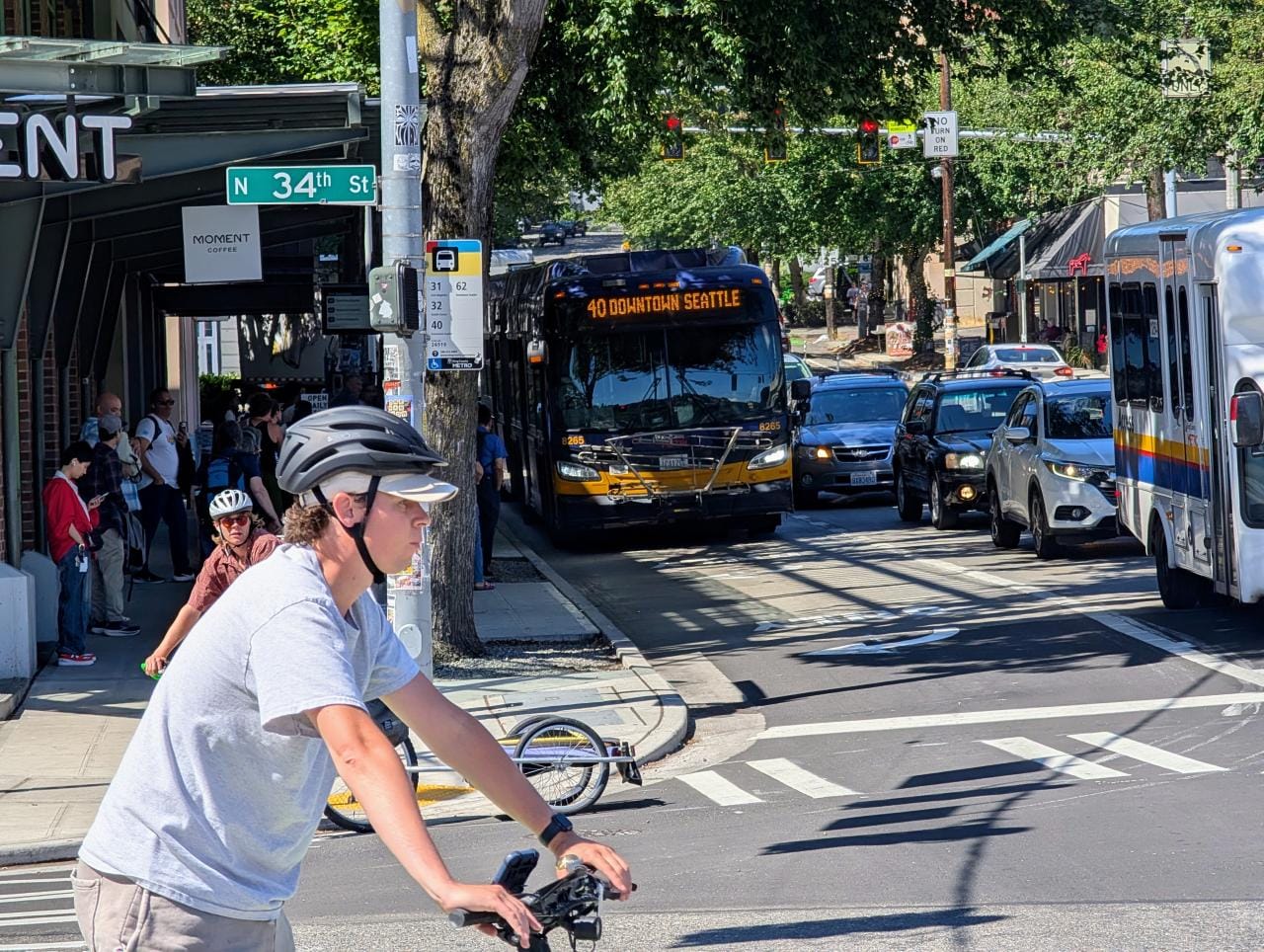
Great transit — a line with high frequency service and well-located stops — unlocks totally new ways of running through the city. Transit can take you to and from a run, but only great transit makes it painless to get to and from points along the run. Instead of anchoring a loop at a particular stop, it lets you run point-to-point between stops so you can see more for the same mileage. Great transit also makes it possible to include alternative start or end points at stops along the way to break up routes and maintain accessibility for more runners. All the better if you happen to take the same line to reach the start, as you’ll have a one seat ride home after.
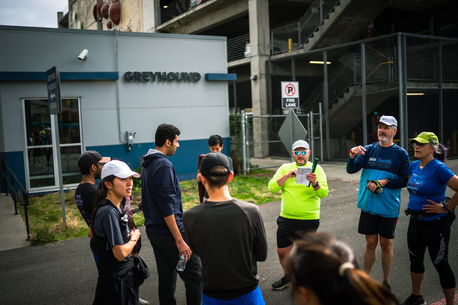
Transit-oriented running already works in Seattle. It has for years. But there is still some art to crafting routes through the urban thicket. For inspiration, I’ve gathered some of my experiences from runs through the city over the past months.
Capitol Hill – Arboretum Loop (6 miles) + Capitol Hill -> Volunteer Park -> Westlake Station (4 miles) + Westlake Station – Elliot Bay Trail out and back (5 miles)
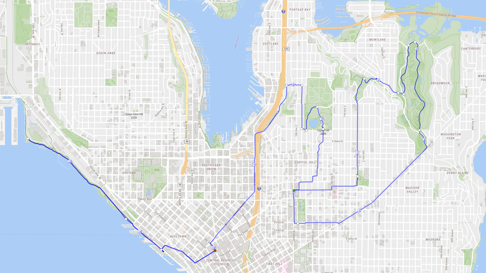
Yes, the climb up Capitol Hill is an ask (at least until new RapidRide service arrives) but the Arboretum is worth the trek. As we slogged up Madison together one October morning, Ellis Michael, a Capitol Hill resident and frequent running compatriot, pointed out that “if you were out trail running, anywhere around Seattle, this climb would be nothing.” Runners not in the urban summiting mood can just as easily skip the first leg. The final stint from Westlake doubles as a great “first-run” for a new runner or a visitor; the span of parks along the waterfront is flat and easily shortened, plus it’s easy to grab a selfie with the market sign along the way.
Three legs might seem like a logistical stretch, but Link stations are so well served as to make it a non-issue. Just be sure to pick specific landmarks, like a sculpture or a particular station exit, to meet around.
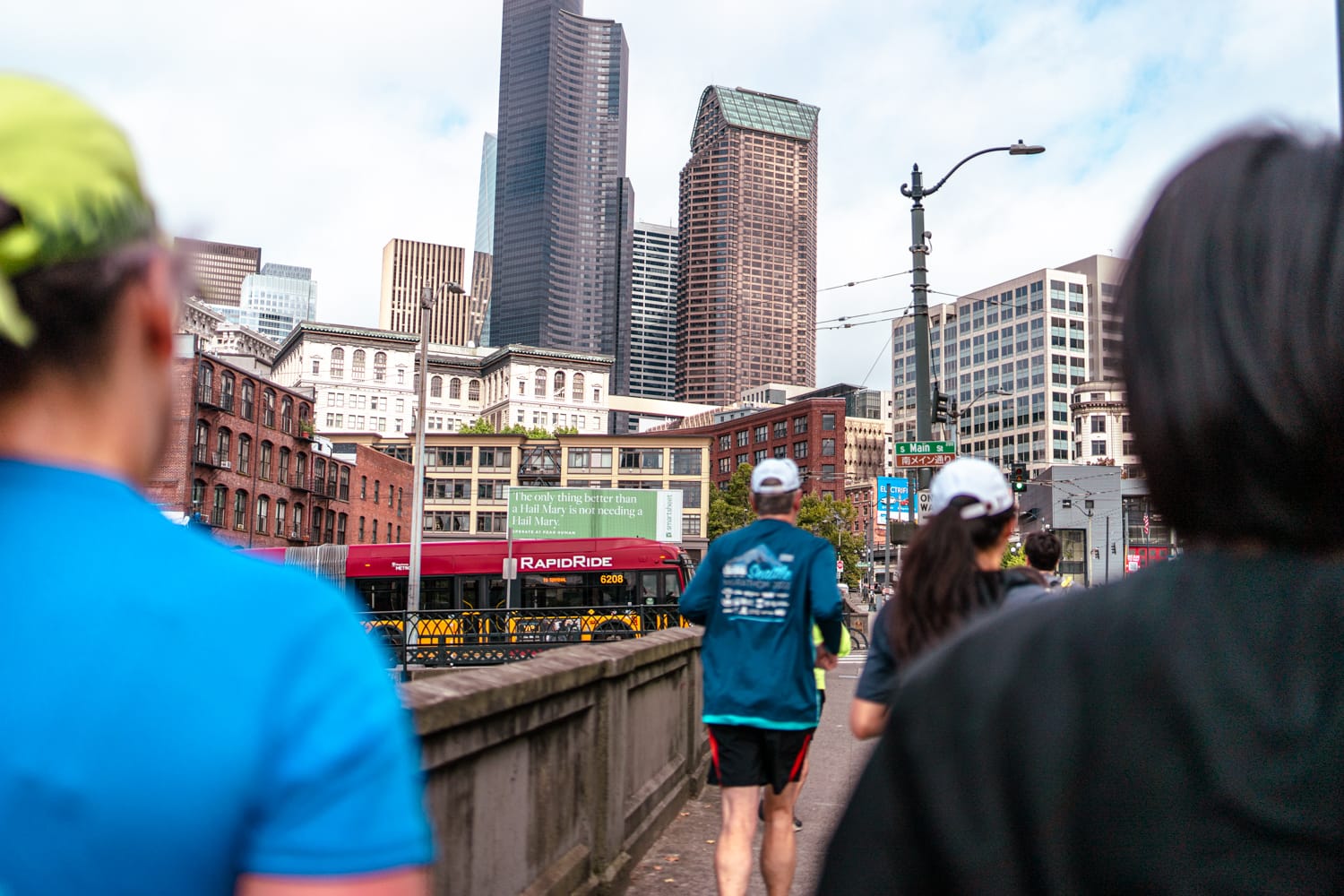
Rainier Beach Station -> Beacon Hill Station -> Chinatown/International District (6.6 mi)
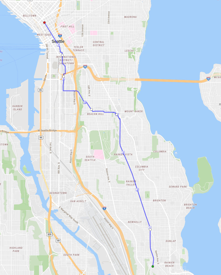
South Seattle light rail runs are endlessly remixable. Our running group sometimes moves up to the Chief Sealth Trail to run along the power lines, and other times down to Rainier Avenue and to go through Columbia City center. If you keep to the route, you’ll get to enjoy the strongest section of Link station art, including gems like a giant shovel and the city’s largest lion (sculpture) pride. Runners can join at Beacon Hill and skip the hike up from Mount Baker station. Chinatown/International District is a top spot both for food and for trains and buses.
When I last ran this route with a club, I was struck by how, in just six miles, we experienced several distinct Seattles. “I don’t think I’ve ever even driven through here,” Stephen Spencer, a long-time Green Lake resident told me as we ran down Beacon Hill. If not for the run, we’d both have missed out — the sweeping view of the City and the Sound is great.
SoDo -> Tukwila via West Duwamish Greenbelt Trails (13.2 mi)
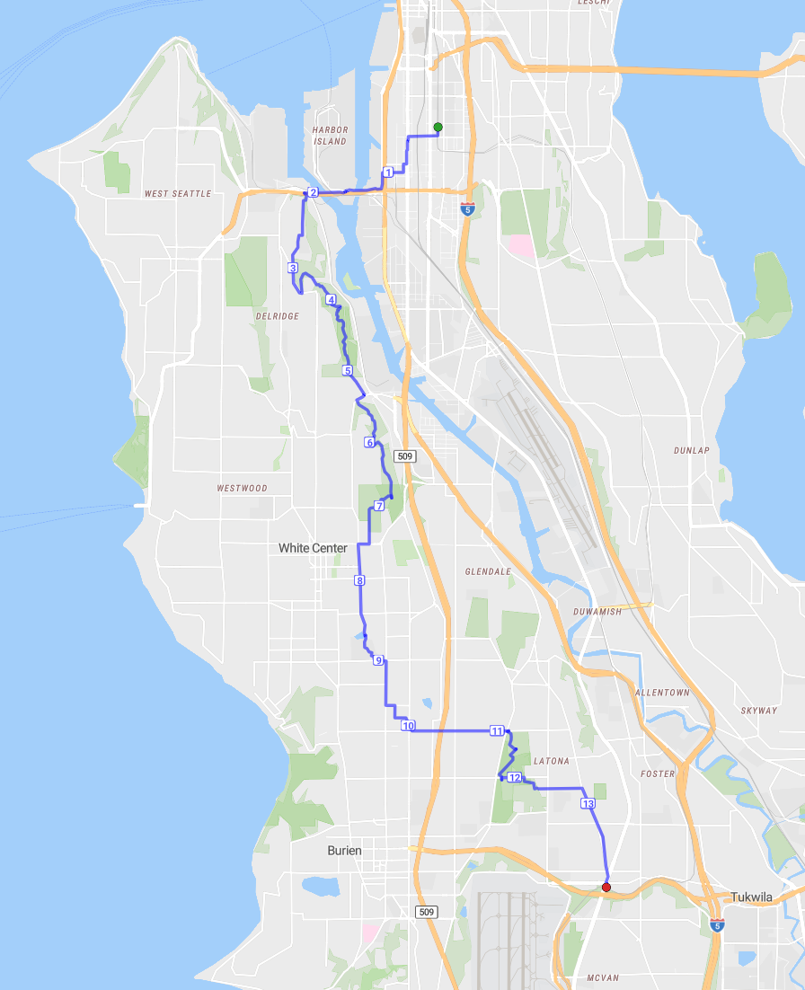
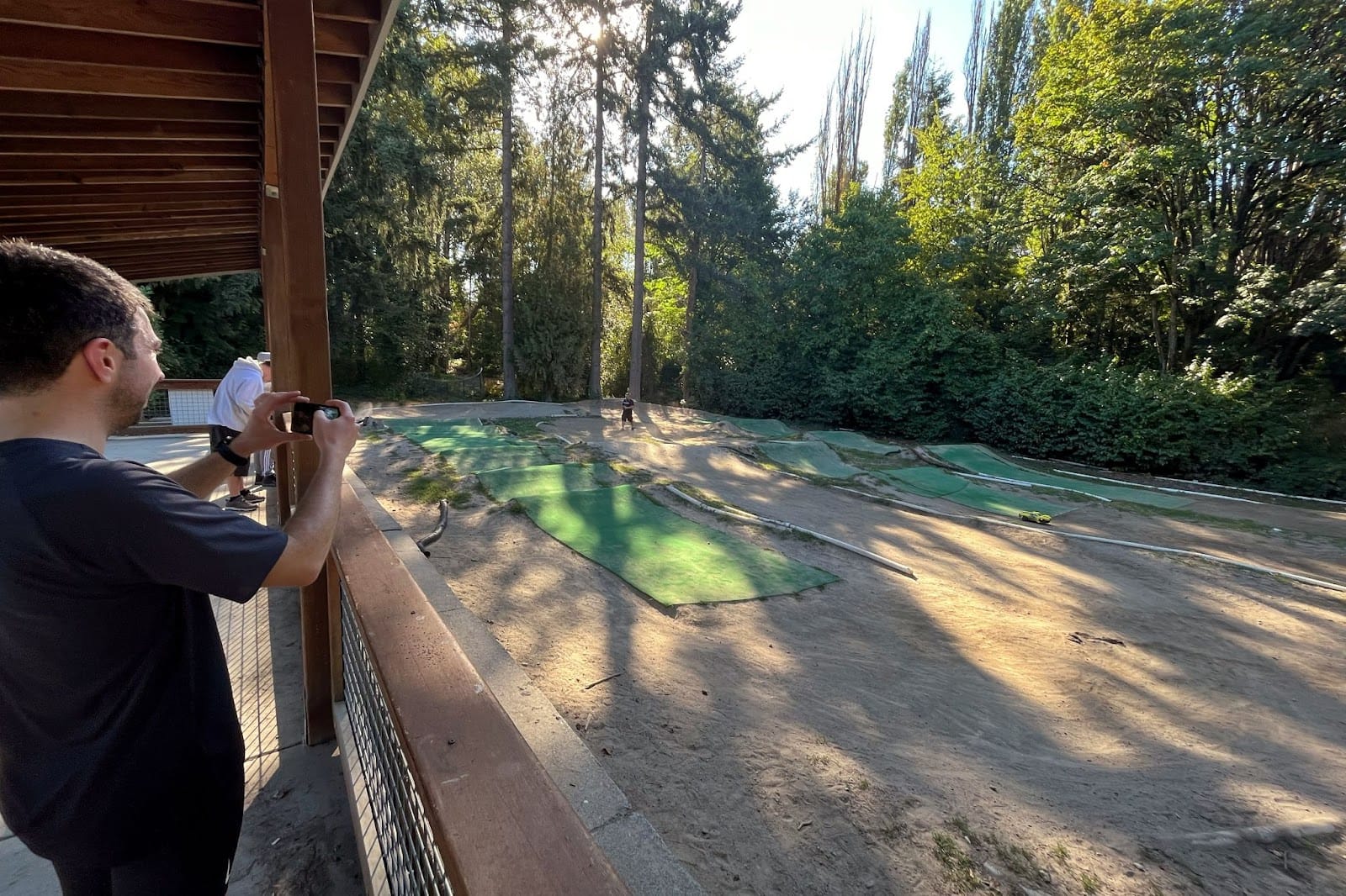
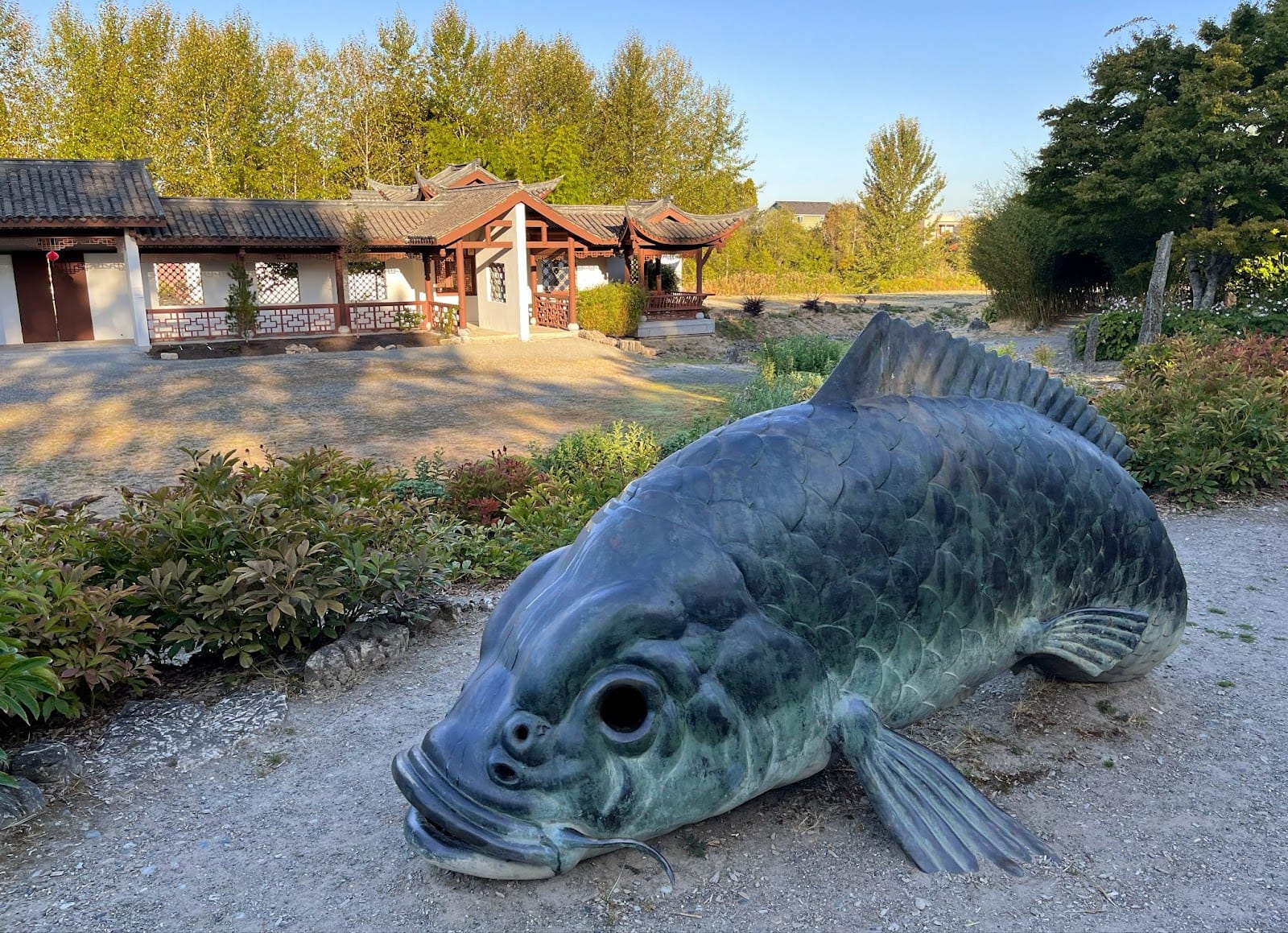
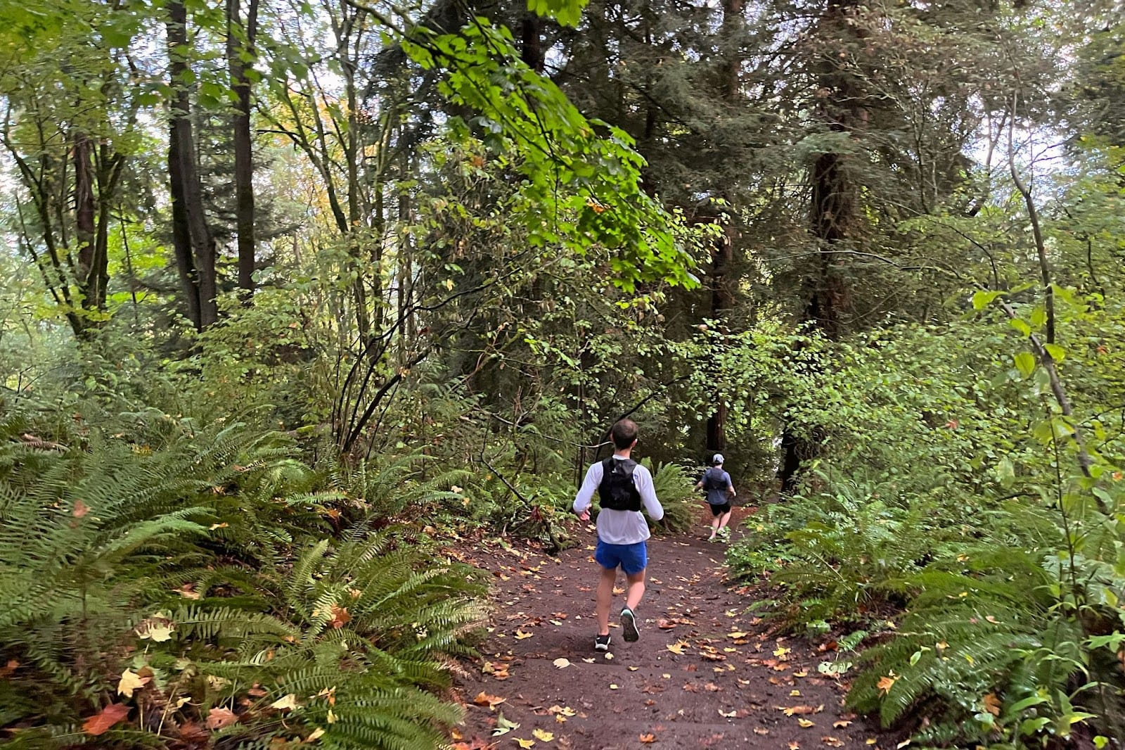
This improbable-seeming point-to-point from SoDo to Tukwila takes you through “Seattle’s largest contiguous forest” on the West Duwamish Greenbelt Trails. You can pop out to visit the Chinese garden next to South Seattle College, and you can take the new RapidRide H Line back to Downtown if you need to cut the run short. Otherwise you’ll pass through a smattering of small parks and with any luck, you’ll catch some RC enthusiasts racing at the North SeaTac RC track as you cut across to Tukwila.
I picked this route sight-unseen this autumn and was surprised at how nice an adventure it was. Some of the Greenbelt was overgrown, but it was uncanny to be on a forest trail for such a long time without leaving city limits. The bonus sights along the way added some variety to what otherwise looked like sprawl on the map. As Ellis summarized afterward, “It was cool running through a bunch of random places (like Greenbridge. Who’s ever heard of that?).”
There are several shorter West Seattle excursions which are also worth checking out. Water Taxi service makes it possible to run over from SoDo, take the full length of the Alki trail, then return to Downtown over the water for just short of nine miles. You can also start from SoDo, take the Duwamish Trail, and return through Georgetown.
Every runner an urbanist
Urban runners’ habits are intertwined with their city’s amenities and pedestrian infrastructure. Every run is a window into the city’s progress and problems. We cheer for new sidewalks or trail improvements in part because so many of us have been taken down by a root-heaved sidewalk at some point. And we all know the dread of having to find a restroom or water fountain in a time of need. Transportation is just another facet of the experience, albeit one which usually goes unremarked upon.
It’s worth describing transit-oriented running because we don’t question the ways in which running habits are shaped by infrastructure that favors cars. We’re lucky that Seattle affords us the chance to experience the alternative; running that goes further, that welcomes more people and that connects us with more of the city.