
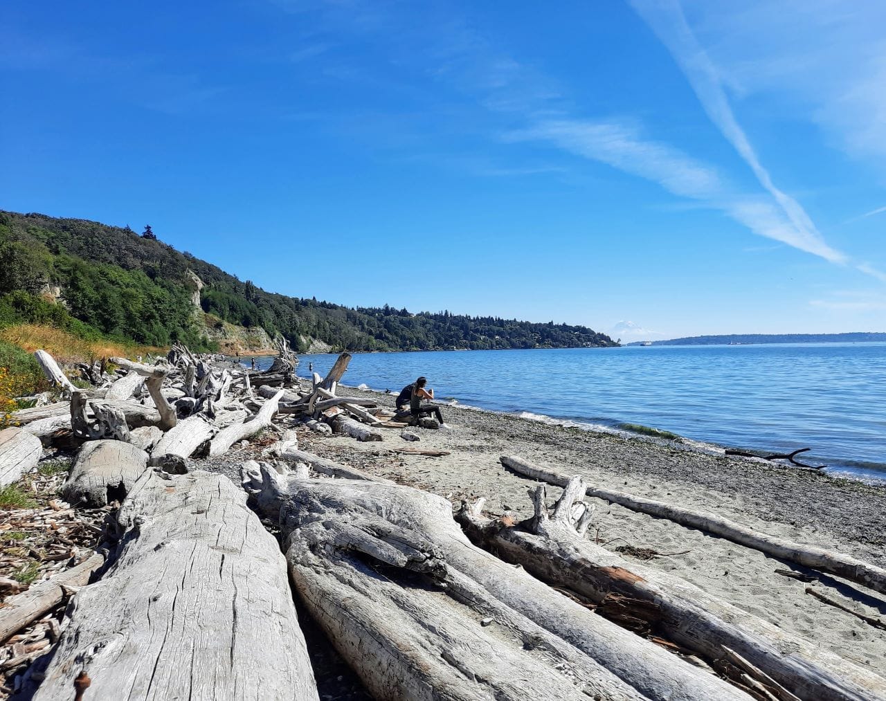
The Seattle region is blessed with a wide array of spectacular parks and they are nearing their verdant peak right now as spring blossoming gives way to the full foliage of summer. Visiting any regional park at its seasonal peak is a good idea, but why not go for arguably Seattle’s best? Spanning, beach, bluff, meadow, and forest canopy, Discovery Park is Seattle’s largest park at 534 acres, a crown jewel of a park system ranked eighth best in the nation. In this photo tour, you’ll see why.
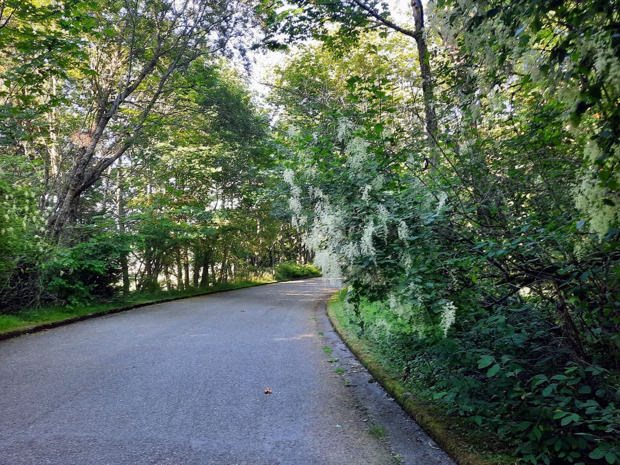
I’ve shared the route I took on my bike to get these photos if you’re interested in recreating the trip in real life. I selected this route to maximize car-free sections and avoid doing hill climbs in mixed traffic. A hill climb is unavoidable, but at least those sections will be on the peace and solitude of the bike trail rather than along a busy road with cars bearing down on you.
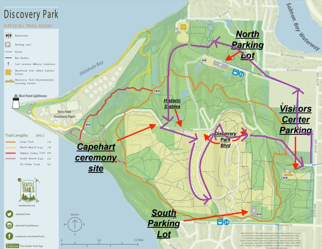
This route also works as a walk, although you’ll have more trails available too without a bike so its possible to branch off to get deeper into the woods. You can get to Discovery Park by bus via Route 33 to the North Parking Lot or Route 24 to the South Parking Lot. On foot, it’s easy to tack on a trip to the beach (North Beach Trail) or the edge of the bluff (Loop Trail). In 2022, The Urbanist hosted a walking tour from the North Parking Lot, but today’s tour is geared to bikes.
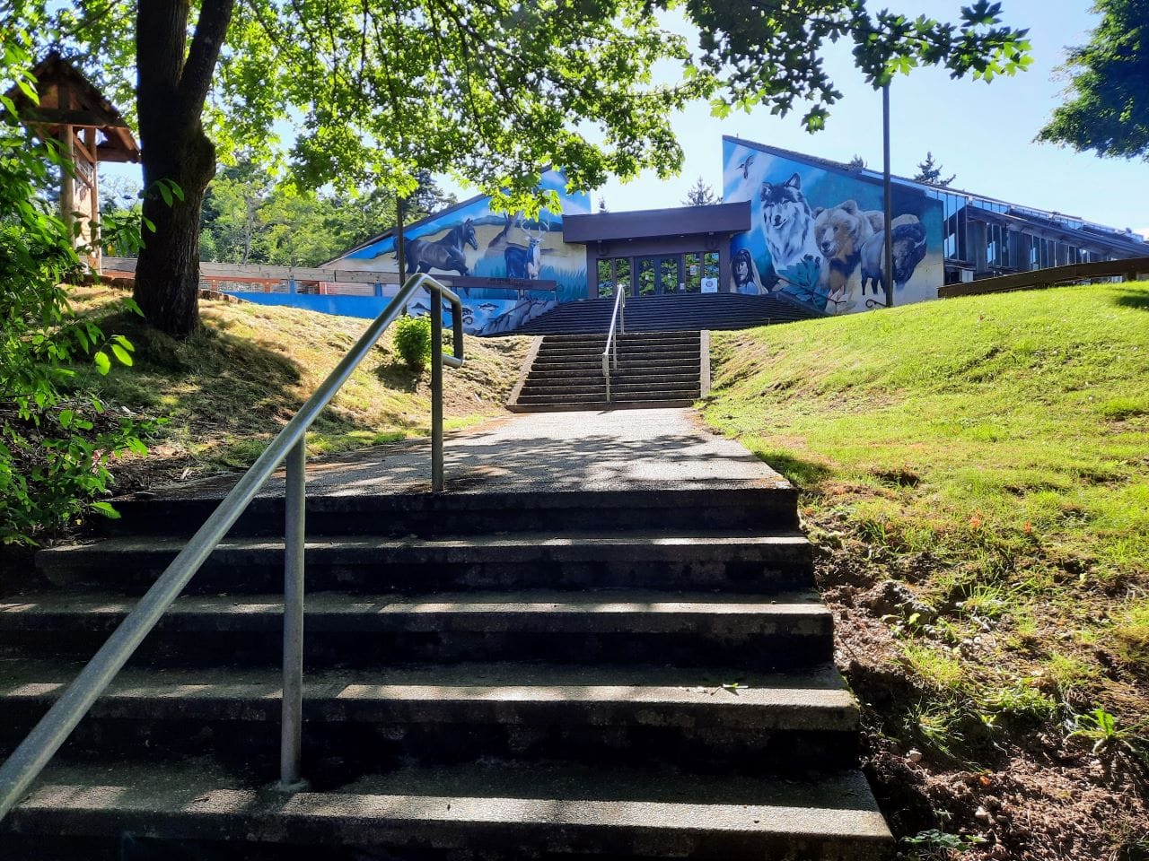
The North Parking Lot is near the Daybreak Start Indian Cultural Center, so it’s easy to add a side quest to see the center and north bluff overlook here.
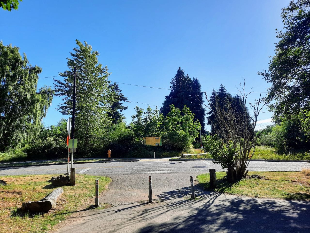
The trail junctions include signs offering different trails to tack on to your adventure. The Texas Way bike route, however, keeps working its way north from the Daybreak Star Cultural Center.

When Texas Way reaches Discovery Boulevard, cross the boulevard and hook a left to stay on the bike route. Pedestrians can continue straight to wander though the Capehart Forest to the Grand Point scenic overlook. But that’s a different photo tour.
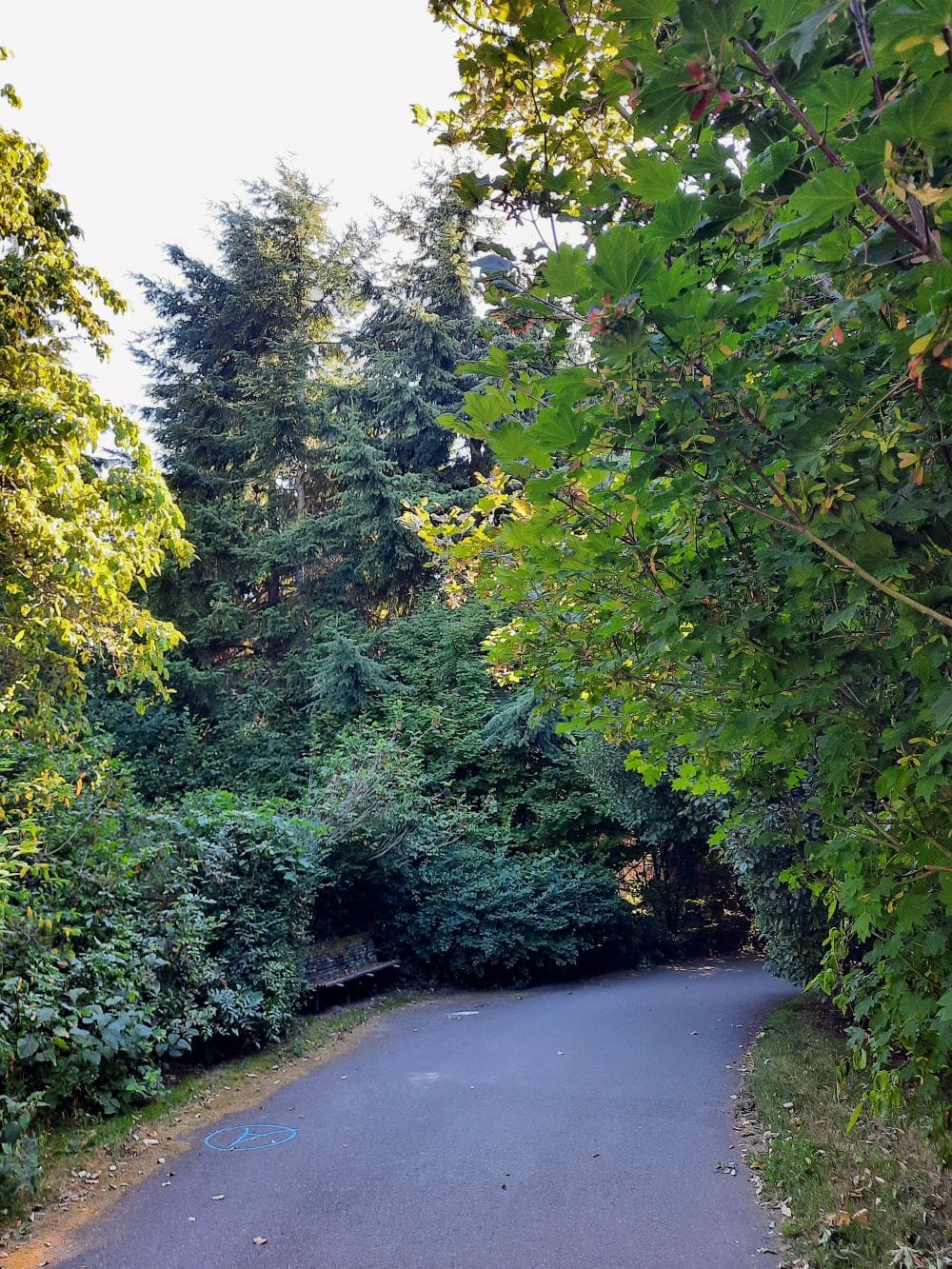
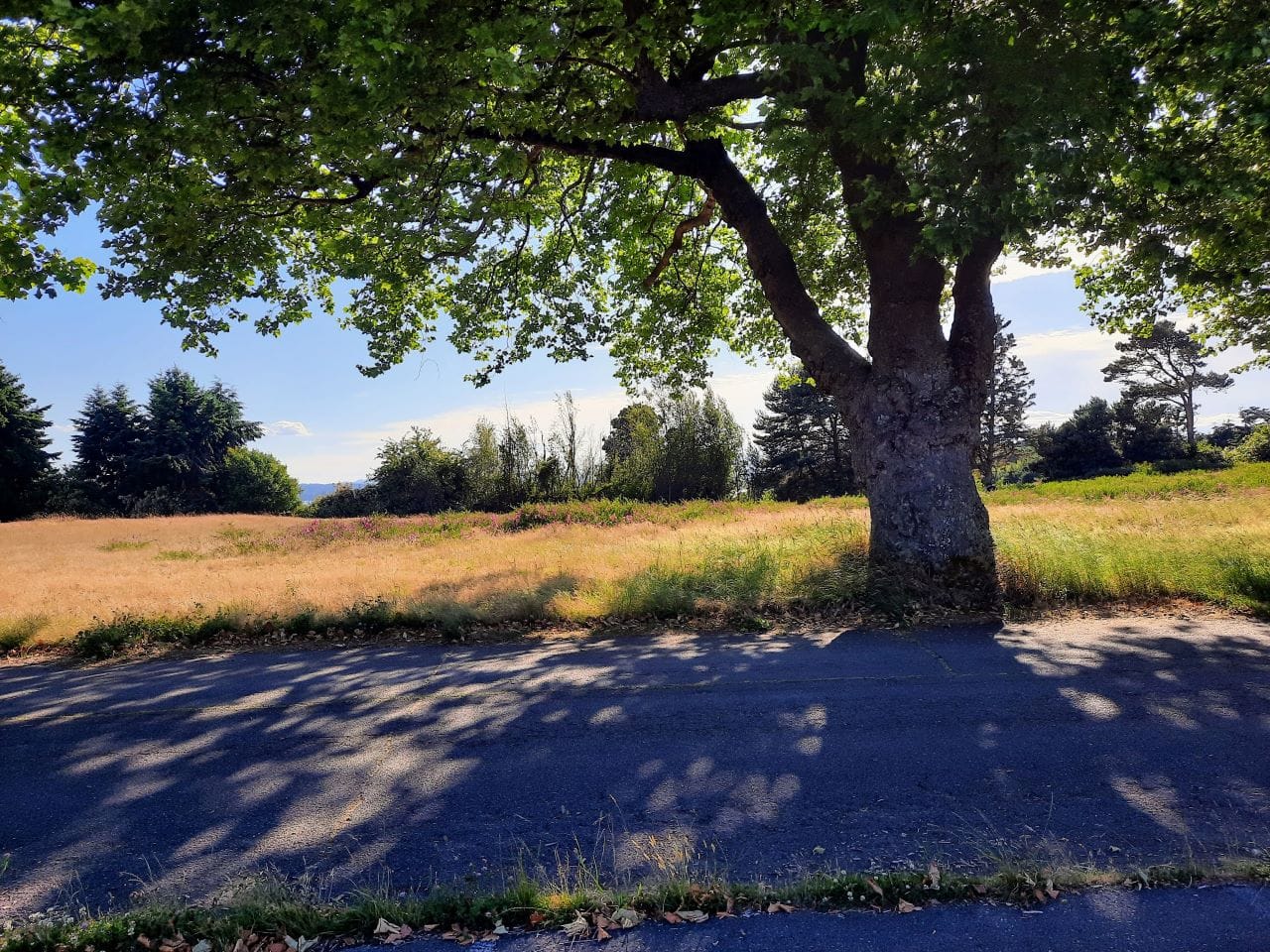
The connecting trail goes through thick canopy that includes a bush slowly fusing with a bench. A shady spot for a break.
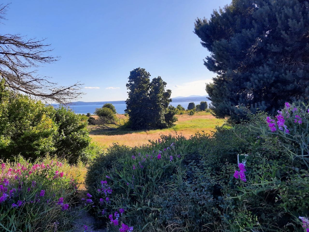
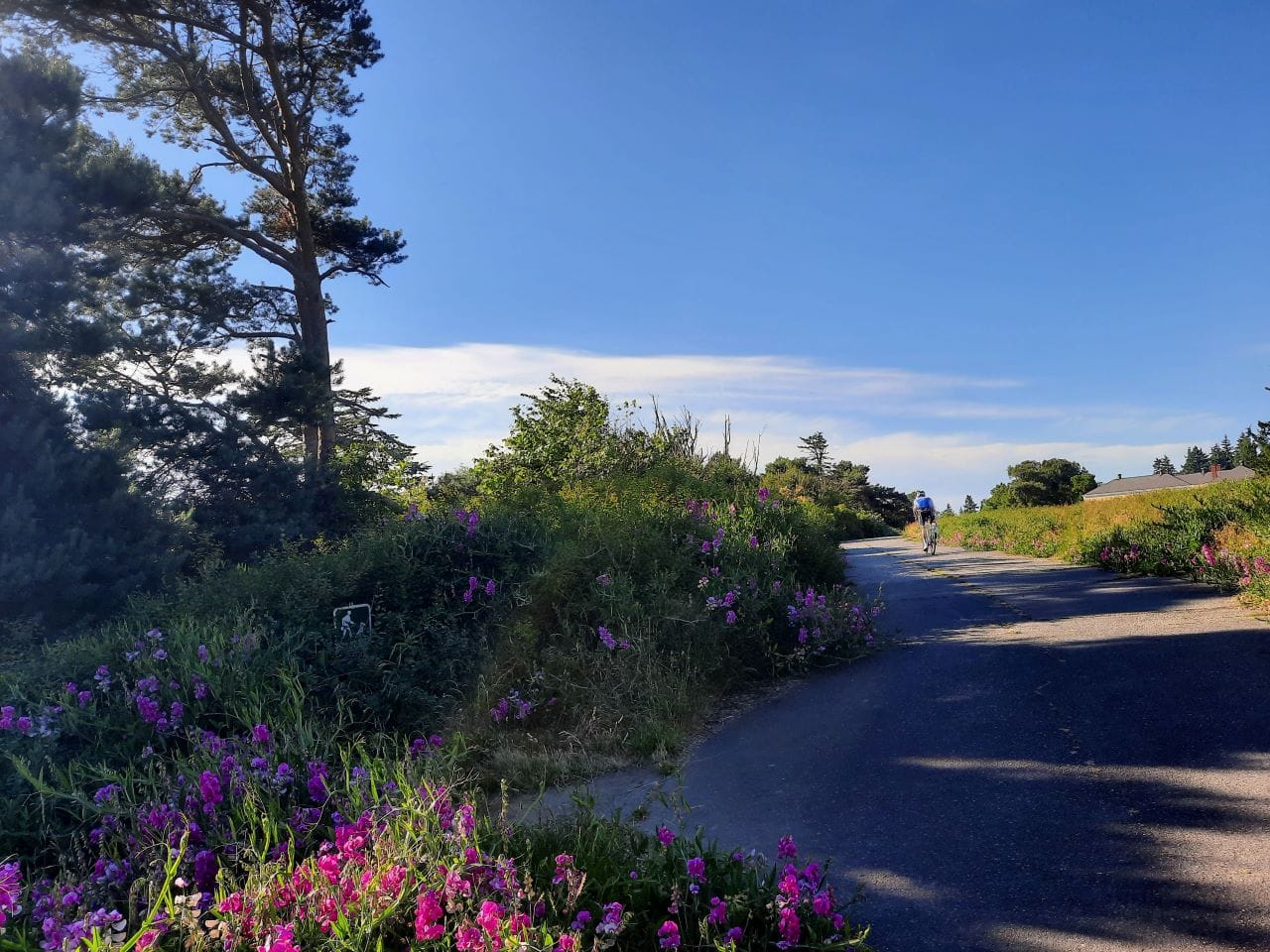
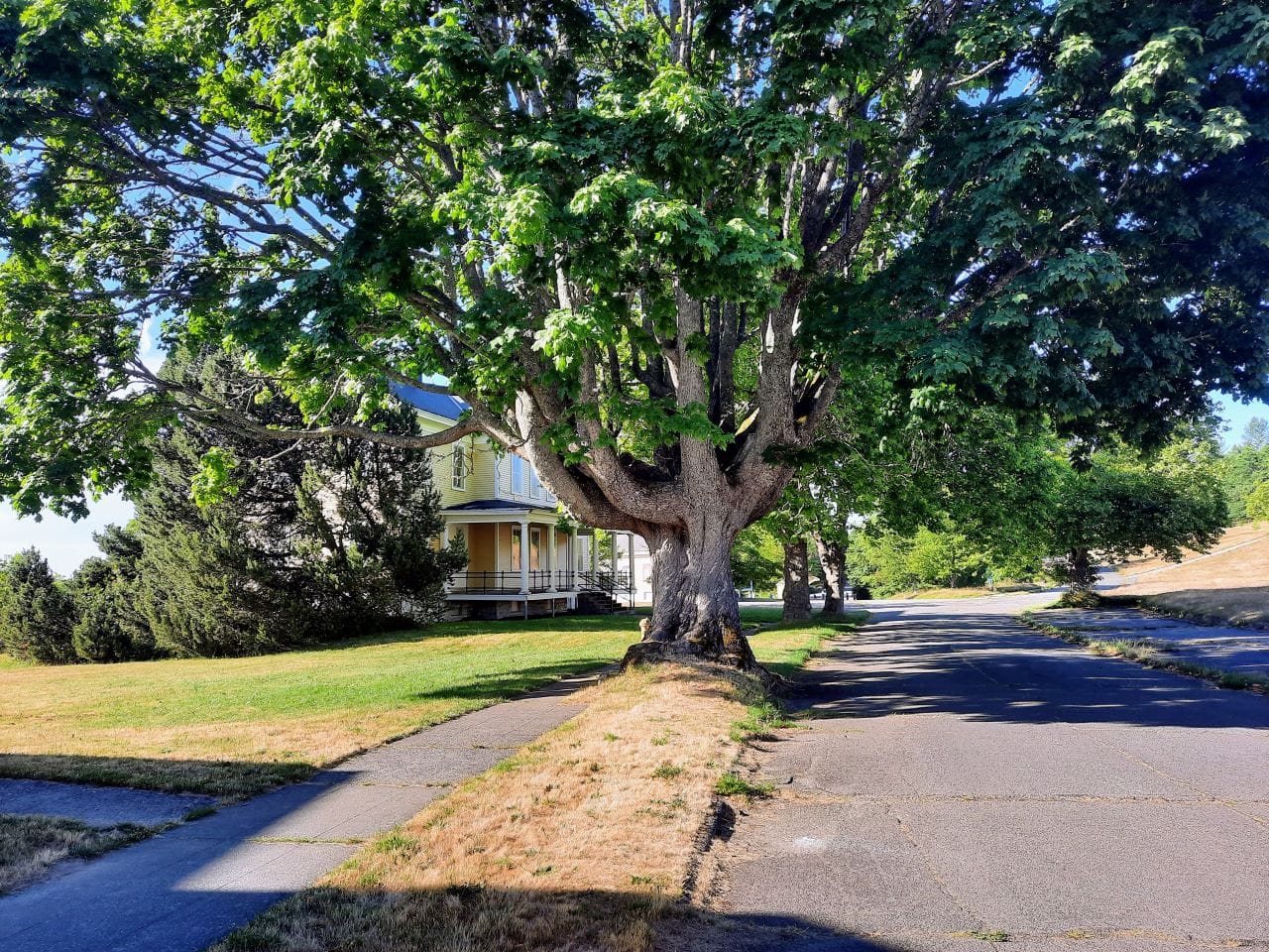
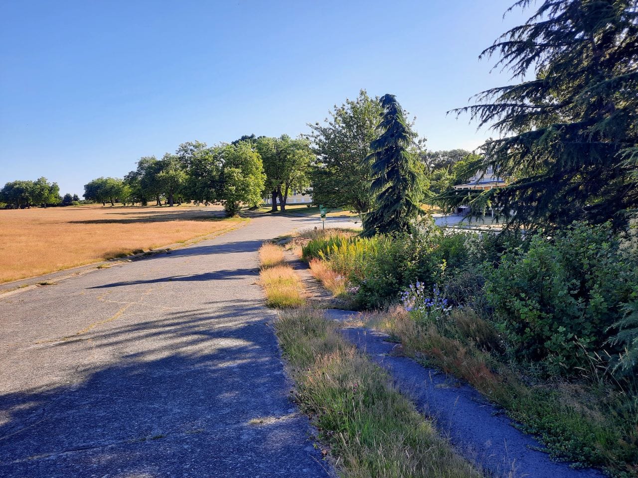
By following the path, you are on Nebraska Street now, but before you pass the barracks and gymnasium building, hook a right to take a quieter paved path along the back of those buildings. This path runs parallel to Nebraska Street, but includes more bluff views and wildflowers. This is the path you want.
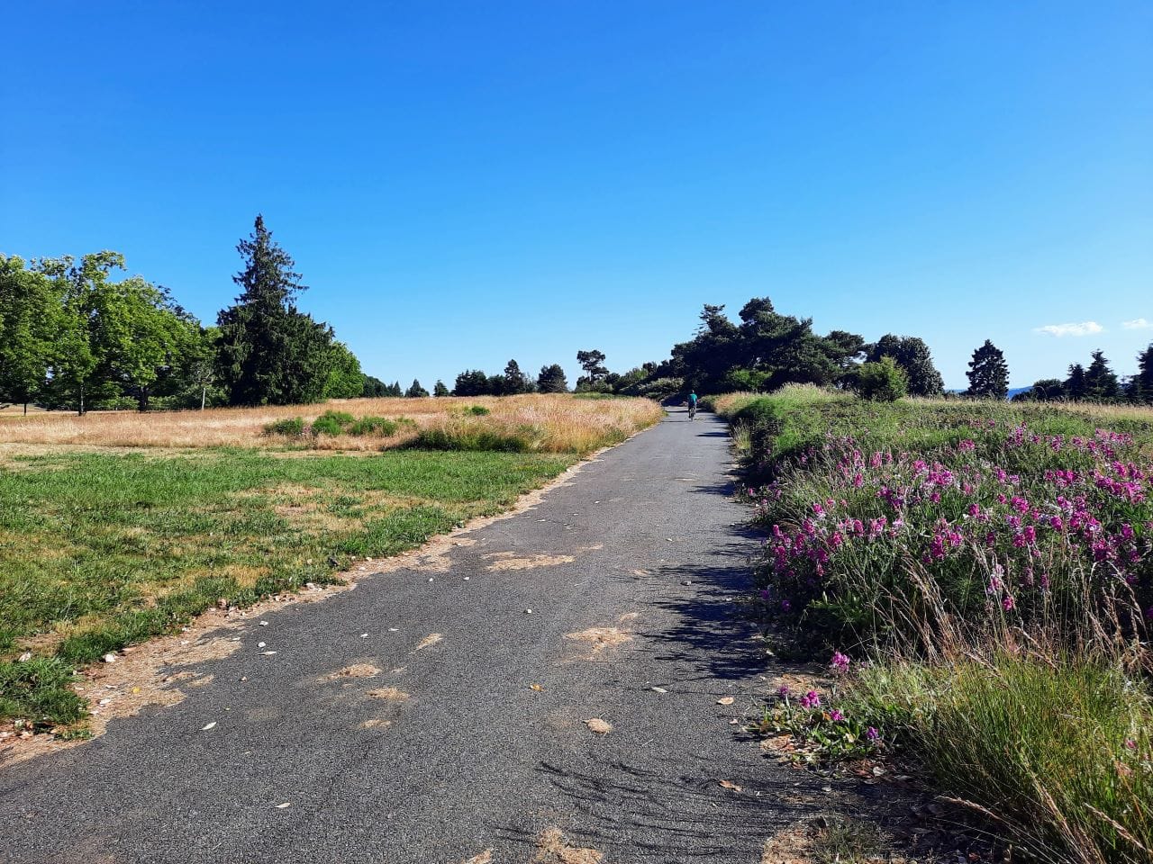
This path will provide plenty of ‘oh wow I’m surrounded by wildflowers and bluffs‘ moments.
The paved path intersects with Nebraska Street eventually. This photo tour takes a left to double back to the north, but cyclists also have the option to continue on for a Magnolia Loop on Magnolia Boulevard or to explore other parts of the park. Or those who’ve dismounted or not brought their bikes can continue toward the scenic bluff overlooks by Grand Point.
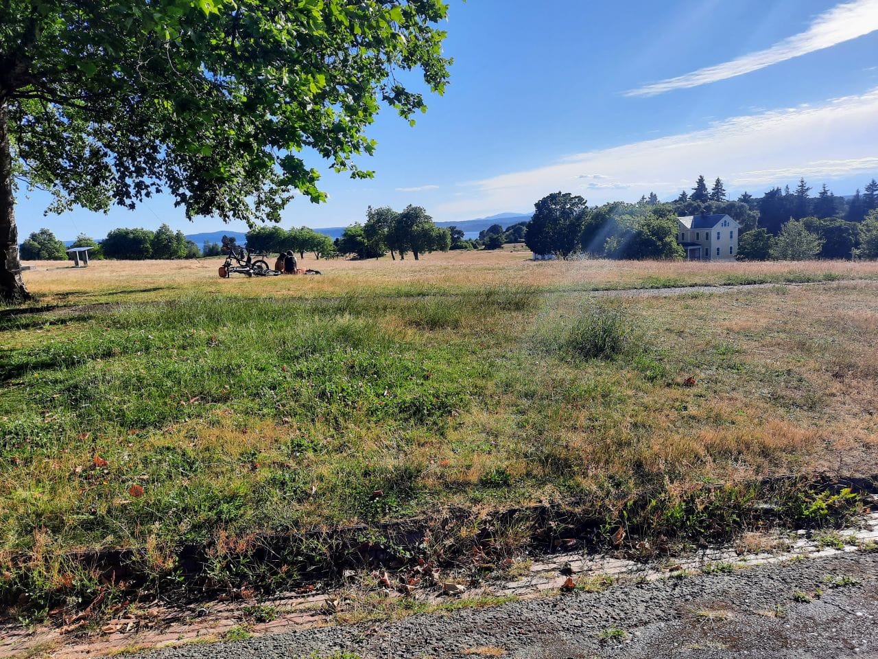
Nebraska Street passes by a big expanse of lawn where dogs play, people picnic, and some manner of lawn game is usually happening. Oregon Street branches off Nebraska Street just before hitting the the main car boulevard. This offers a car-free hill climb and one last viewpoint before departing. From the viewpoint it’s all downhill and easy cruising to exit the park.
Discovery Park is a gem of our park system, but it also is a lot more.
It is a former military base (Fort Lawton) decommissioned and finally converted to a park in 1973. The fledgling park was the site of one of the most dramatic nonviolent demonstrations in Seattle history when a 1970 Indigenous occupation of part of the fort led to the creation of the Daybreak Star Indian Cultural Center on a northern section of the property.
“Led by Bernie Whitebear (Sin Aikst), Bob Satiacum (Puyallup) and Indigenous Peoples of Western Washington, 100+ Native Americans and supporters occupied areas of Fort Lawton using a base camp just outside the fence line,” the City of Seattle website notes. “Famous supporters such as Jane Fonda and the Black Panther Chapter of Seattle helped increase national attention to the cause.”

More recently, housing advocates (The Urbanist included) fought to add an affordable housing complex on the last remaining Fort Lawton Army Reserve compound as it is being decommissioned and its 34 acres converted to housing and recreational space, including about five acres to be added to Discovery Park. In 2019, the Seattle City Council approved a redevelopment plan to create affordable housing on the site, with at least 235 homes in the works.
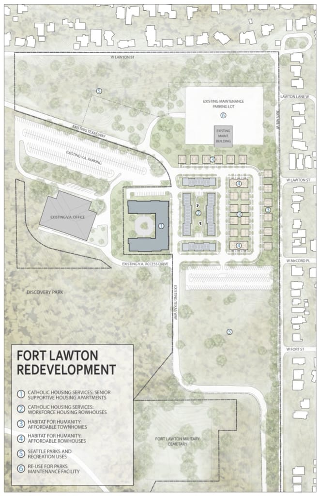
However, Magnolia homeowner activists led by Elizabeth Campbell fought the affordable housing and mounted a legal challenge, and they have only succeeded in slowing down the project rather than stopping it. Urbanists and housing advocates rallied in support of the project and opponents have all but exhausted legal avenues. Nonprofit builders have yet to break ground, but hopefully will soon.
Building the affordable Fort Lawton development would be a significant step forward in increasing access to parks and green space where tenants in particular face a deficit. In a positive development, adding more apartments, especially affordable ones, near major parks has become a point of emphasis in the City’s new Comprehensive Plan, which is delayed but slowly coming together.
The great delay caused by building even 235 homes on such a large site invites the question of why the City didn’t plan more housing in the first place. One of the arguments against doing so was that the area isn’t well served by transit. While Route 33 does pass right through the site, it only runs every half hour.
This, however, is a relatively easy problem to fix. Double the frequency of Route 33 to serve a large Fort Lawton housing complex and both residents and park goers looking for a more reliable way to reach the park win.
City Council Approves Affordable Housing at Fort Lawton and Extends Showbox Moratorium
The Urbanist Podcast: The Power of Parks with the Trust for Public Land


