Whenever I write an article or series that charts the development of cities and neighborhoods in the Puget Sound, I always make an effort to walk to the vast majority if not all the development sites that I list to take pictures and check my data. This was no different for my series on Kirkland. However, unlike most of my other articles, I got data for development in the entire city that allowed for a rather comprehensive understanding of the growth happening in Kirkland. Due to the number and wide distribution of developments in Kirkland, I ended up walking over 20 miles across three different days in the city. Let’s go behind the scenes.
Walking a suburban city is always an interesting experience, especially when the city is making an honest effort to better its built environment for pedestrians. Public investment by the City is typically limited in scope and budget, so what improvements are made end up being small pockets of delightful walkability. Beyond those few spaces, historic disinvestment in pedestrian infrastructure is evident with missing, patchy, or frankly hostile stretches of sidewalk. As a quick aside, a sidewalk under six feet in width and without a landscape buffer is just a horrible pedestrian experience.
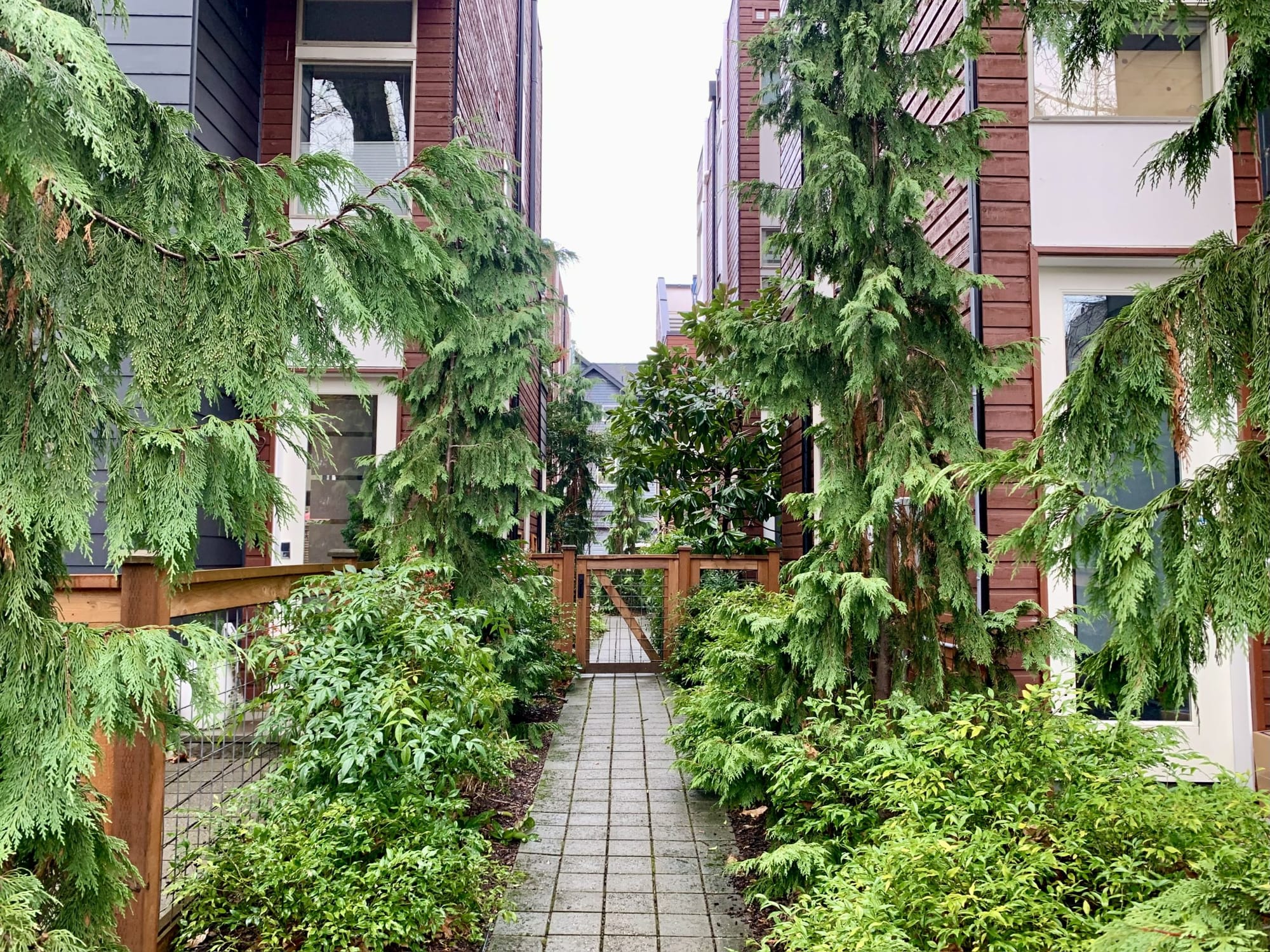
New private development contributes to the same phenomena, as brand-new pedestrian infrastructure often appears next to fresh development without a network of pedestrian infrastructure to connect to. This new pedestrian infrastructure should meet modern and often fair standards for pedestrian comfort. Sometimes these islands of walkability stitch together to create a substantial pedestrian environment.
Totem Lake has it all
Totem Lake is a nexus for these pedestrian environments. The neighborhood hosts apartment complexes, parks, and much of the City’s auto dealerships, big box stores, and strip malls. The neighborhood’s roads are often wide and heavy with traffic from highway exits, frequently making for an unnerving pedestrian experience without adequate buffers like street trees or street parking.
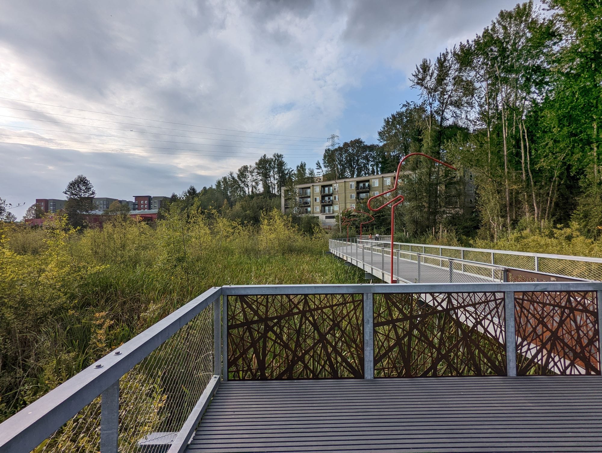
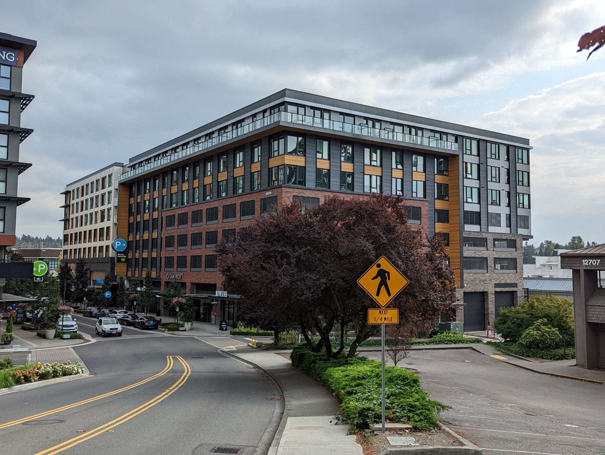
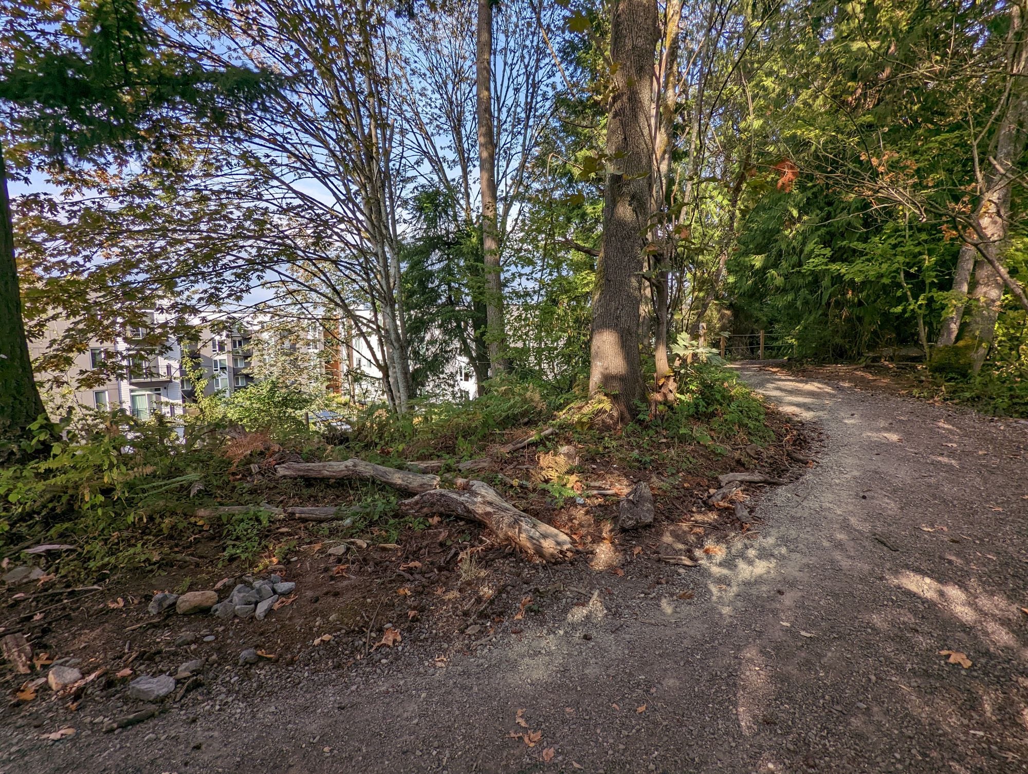
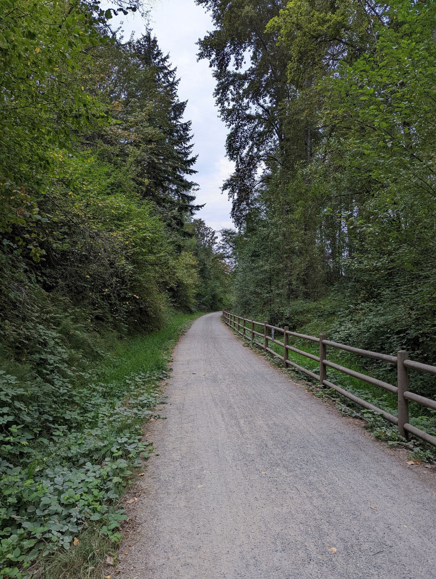
Shielded from much of that traffic is a concentration of public and private investment around The Village at Totem Lake with the large and new private development, surrounding new development, and parks facilities forming a comfortable chain of pedestrian connections. Totem Lake Park and the Cross Kirkland Corridor (CKC) are especially nice with dedicated pedestrian and bike paths. Totem Lake Park’s boardwalk blew me away and has me imagining the awesome and unique connection that it will form with future density on NE 124th Street. This island of walkability will continue to expand with continued work on the CKC and incoming development that should connect even more buffered sidewalks to the system.
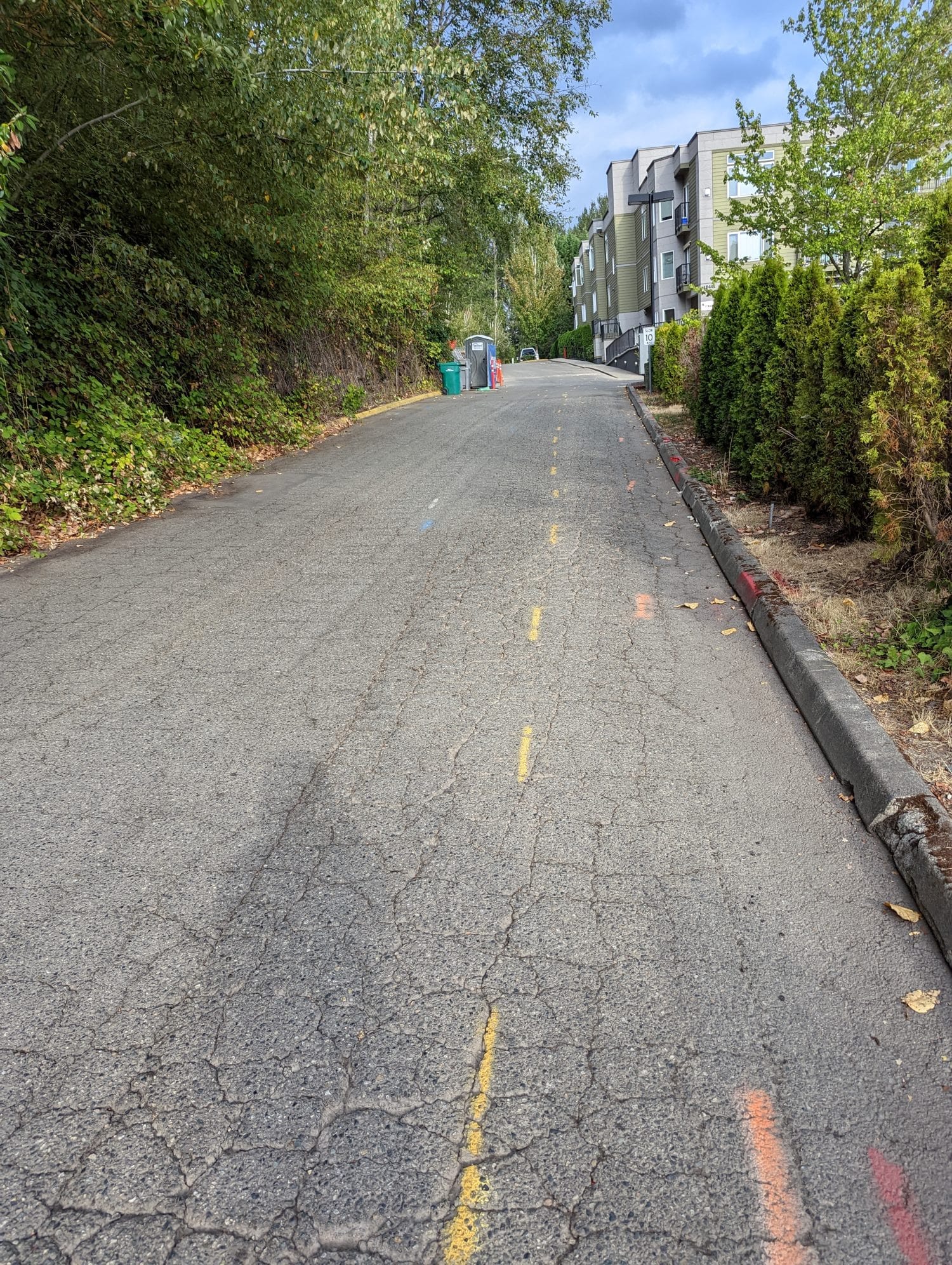
Outside of that cluster, pedestrian infrastructure quality collapses with sidewalks disappearing or unbuffered from traffic. West of I-405, Totem Lake is particularly undeveloped. Sidewalks typically don’t exist or are only available on one side of the street here. A patchwork pedestrian network is being built here slowly with some spot developments. One standout has to be a small trail system installed by the Upland Apartment complex.
The standouts
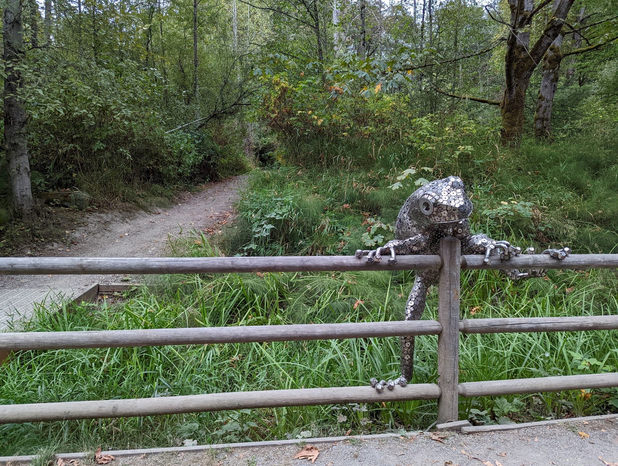
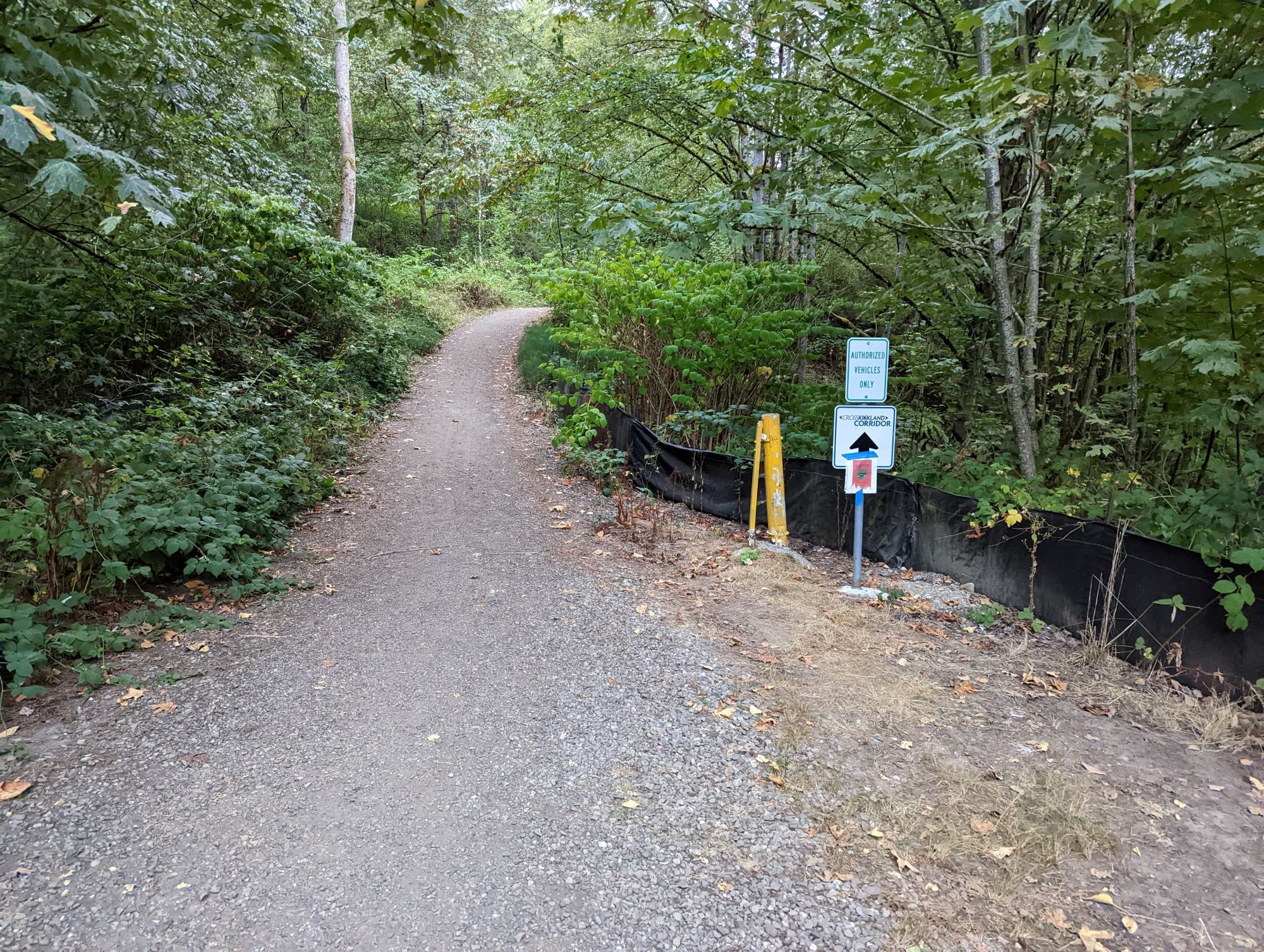
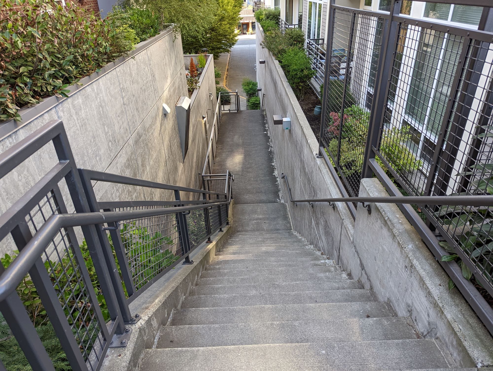
Other networks of fair pedestrian infrastructure include Moss Bay or Downtown Kirkland, the CKC, and Lakeview’s waterfront. Centered around Peter Kirk Park, Moss Bay/Downtown Kirkland is supported by fair sidewalks and some fun pedestrian paths that help break up large and oblong blocks with through block connections. Kirkland Urban, Peter Kirk Park, between some apartment and townhome complexes, and maybe Park Lane one day are among some of the paths exclusive to pedestrian and bike access like the CKC, Kirkland’s segment of Eastrail. Kirkland stands out from its Eastside neighbors with their segment of the Eastrail nearly complete. I was also amazed by all of the small neighborhood connections to Eastrail throughout Kirkland. The entry from NE 106th Street was basically its own little trail.
The Nightmare
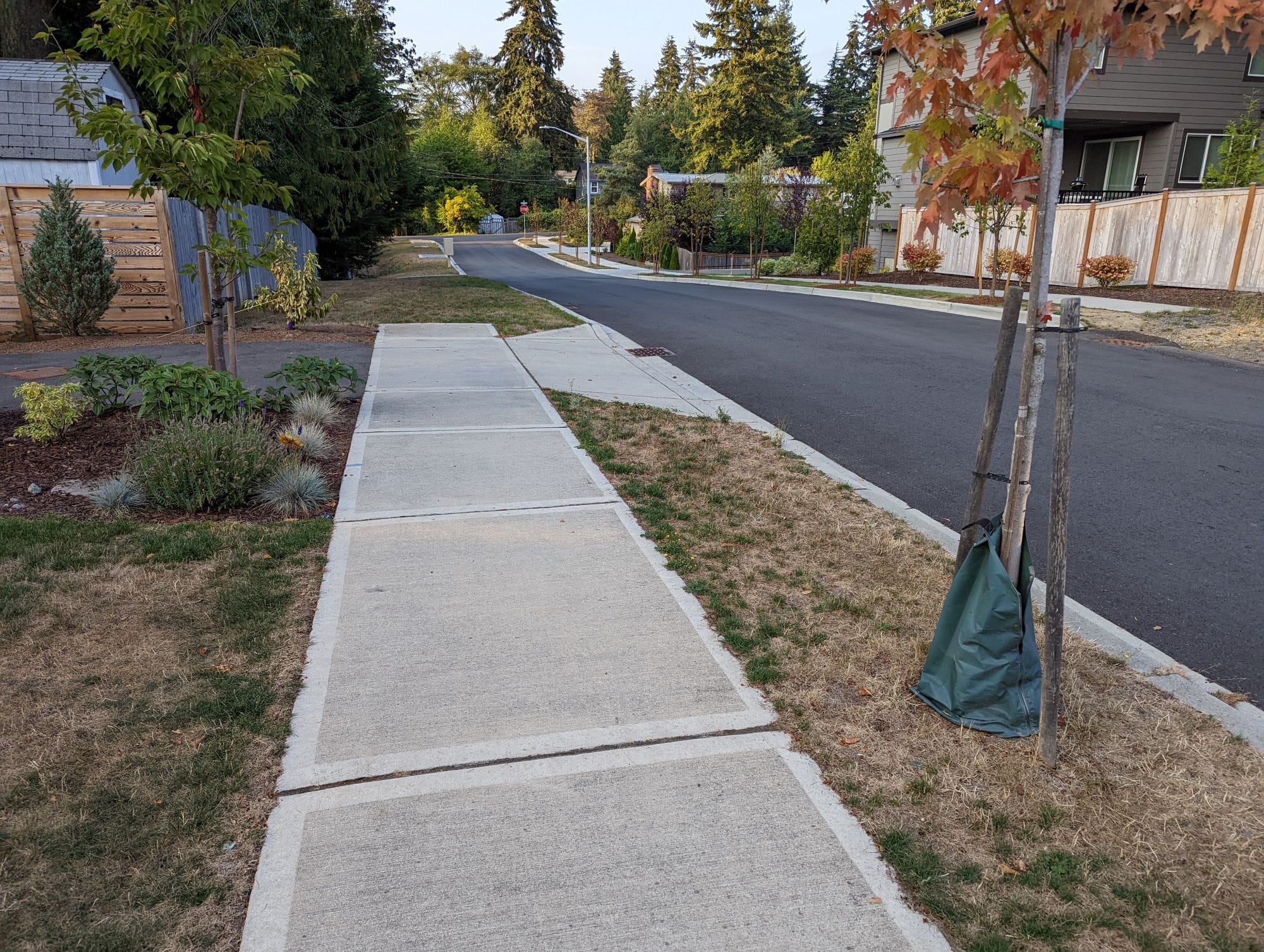
Of the neighborhoods I visited in Kirkland, Finn Hill was home to the worst of Kirkland’s pedestrian environments. The neighborhood is standard suburbia sewn out of single-family home subdivisions. Many of these subdivisions were built without any sidewalks, but the few that did leave behind a smattering of pedestrian infrastructure in the neighborhood. The subdivision development continues to this day. You can easily spot them with their gleaming white sidewalks buffered with fair planting strips and street trees.
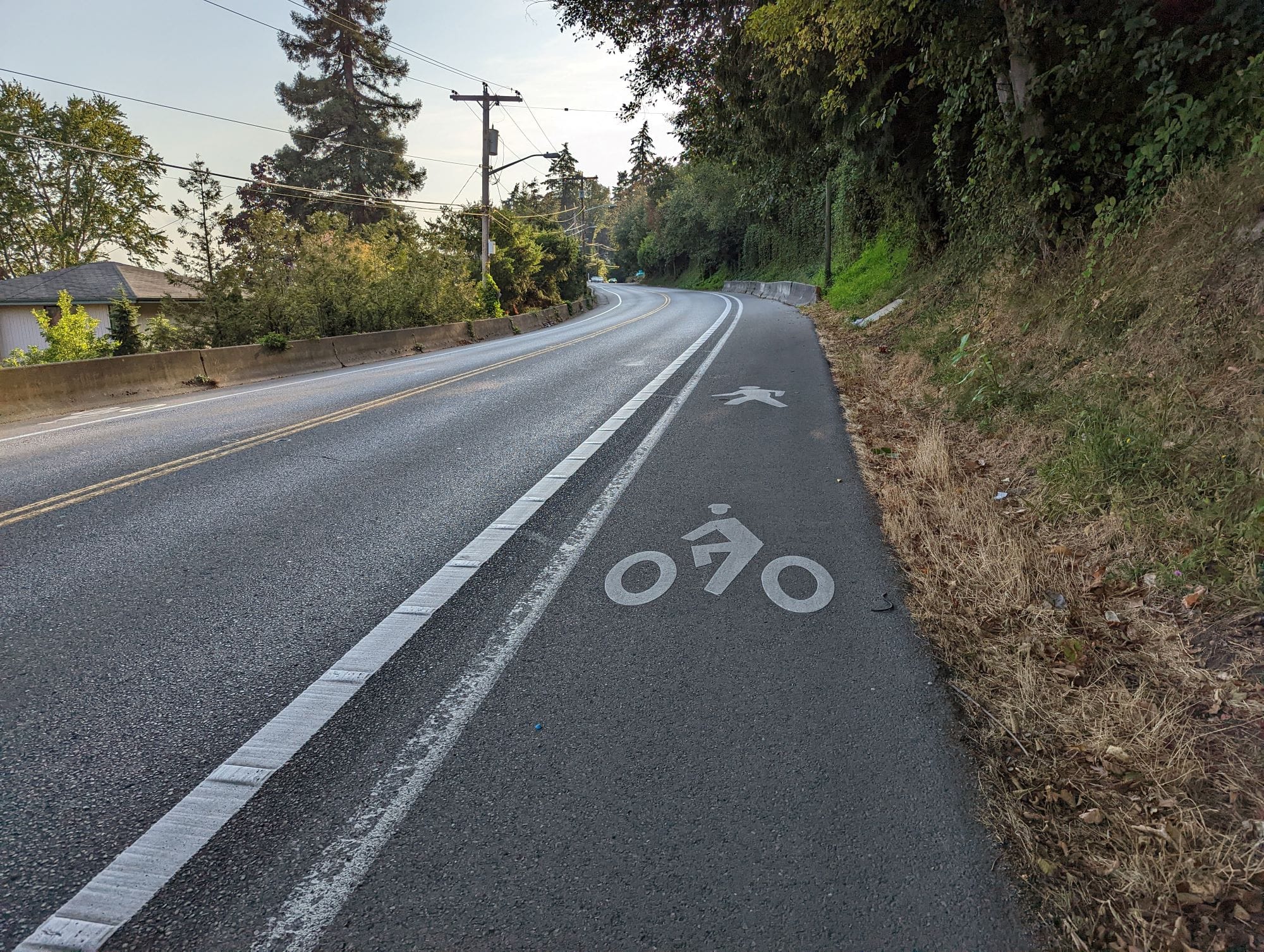
A glaring omission to these new additions is the climb up to Finn Hill from Juanita. My route to Finn Hill brought me to Juanita Drive NE, a curving road with a steep incline. It has two travel lanes and painted shared use paths for pedestrians and cyclists. The sometimes poor visibility, speeding traffic, and protection of paint and flimsy posts at times make the trek up Finn Hill frightening and enlightening. My separation from car traffic was at the whim of whatever motorists passed by me then.
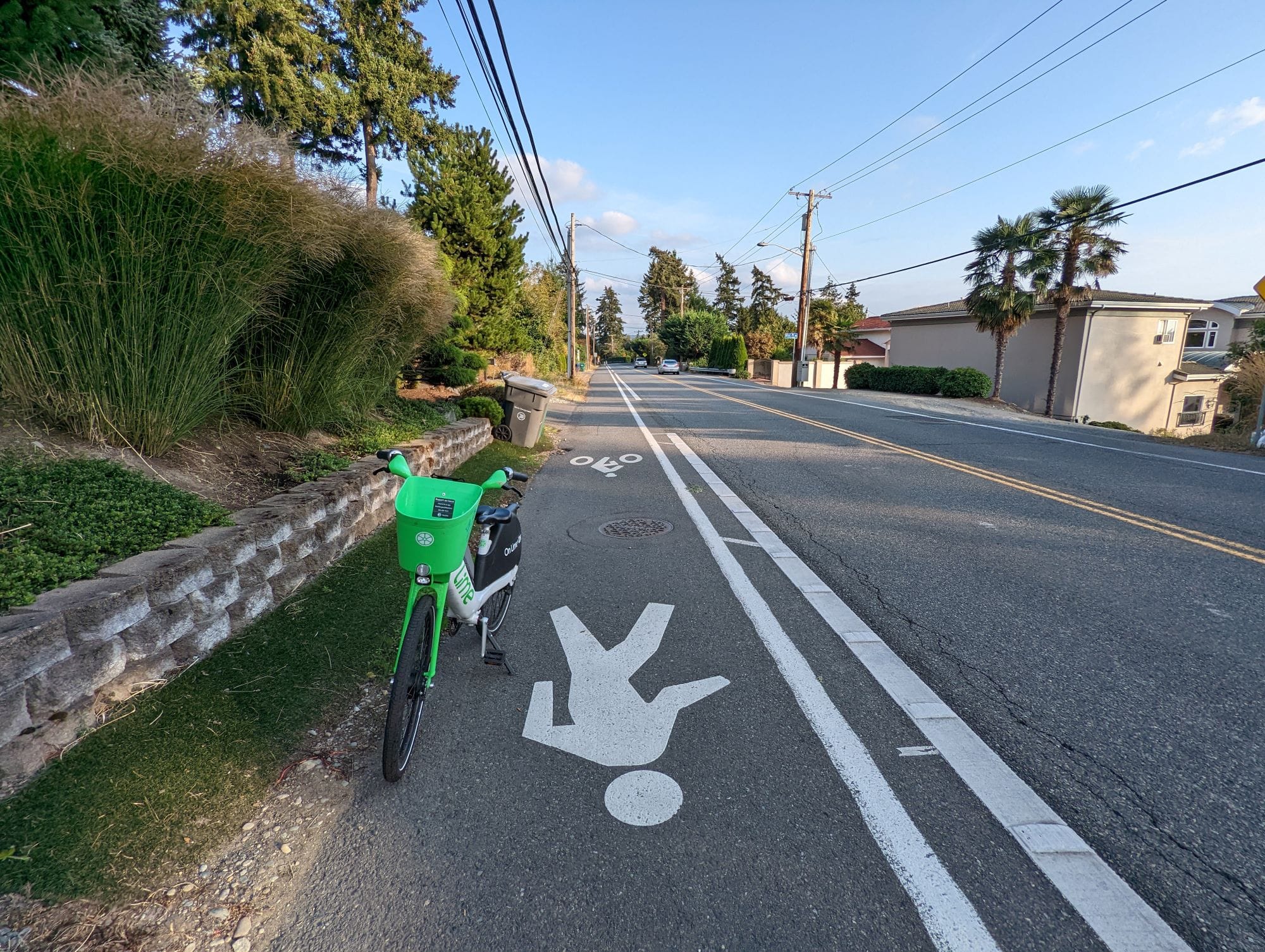
Juanita Drive NE is such a sharp contract to what else exists in Kirkland. My pedestrian site visit of Kirkland’s new development and reading of the city’s plans give me a hopeful glimpse for what improvement will continue to slowly spread in the City. Though this change typically only happens in areas zoned for higher densities, it might be some time for the truly pedestrian infrastructure deficient areas of Kirkland to receive critical transportation and safety investments.
Totem Lake Shoulders Kirkland’s Transformation and Growth
Downtown and Rose Hill: Kirkland’s Corridor of Dense New Development