Have you ever found yourself in a conversation with someone who wants Seattle to be affordable, safe, and vibrant but, in the same breath, claims they don't want "apartments near their house" or "the character of their neighborhood ruined?" I have. And every time, I wish I could show them the reality of Seattle zoning: the real progress that has been made and the existing uphill battle for builders trying to add more housing, and vibrancy along with it, to Seattle.
Google's Project Sunroof empowered homeowners to see the potential cost savings solar could have on their roof using satellite data. Lachlan Campbell's American Toxics mapped Superfund sites across the country, allowing users to see if a toxic site is near their home, school, or workplace. Both work because they make visible the built landscape, and its immediate impacts on one's life; if policy is made visible, it becomes accessible.
To close this gap – to make visible Seattle’s urban policy – I created Seattle Atlas, an interactive map that lets users see zoning, transit infrastructure, and bike lanes, so Seattleites can see for themselves what our city is doing well and where we are lacking.
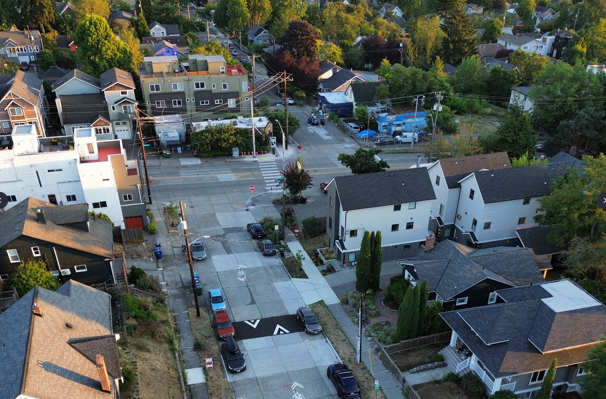
The site starts with a full map of Seattle in a simplified zoning view. It translates Seattle's dozens of complex zoning codes into categories anyone can read: Homes & Small Shops, Midsize Residential and Shops, Large Buildings, Downtown & Highrise, Institutions, Industrial, and Parks. You can understand it, your friends can understand it; even your uncle who hates that new apartment building near him can understand it. And when you see Seattle's zoning on a map, one category dominates the picture.

Nearly 70% of Seattle's buildable land falls under what Seattle Atlas now calls "Homes & Small Shops." Until recently, it would have been fair to call it "Houses Only."
But the One Seattle Plan, which took effect January 21, re-legalized what Seattle's oldest neighborhoods have always had: corner stores and cafes, on any residential lot. Fourplexes, too, are now allowed on every lot, and bonuses for affordable housing and stacked flats can push some projects up to 12-unit multiplexes. This is real progress. But fourplexes alone won't build the kind of neighborhoods we're missing.
Walkable, mixed-use neighborhoods need more density than four homes per lot can deliver, and once a lot is subdivided into townhomes, it's almost impossible to redevelop it for anything denser, locking in low density for generations. To build the walkable neighborhoods that break from suburban low density, Seattle needs real apartments – five or six stories tall – along transit corridors and in neighborhood commercial cores.
That's what Phase 2 of the One Seattle Plan, currently before the City Council but tied up in appeals, would advance. A Phase 2 vote is tentatively expected later this year, with a bolder step queued up with Phase 3, which Mayor Katie Wilson has sought to broaden in scope.
We know from empirical research that being close to transit and essential amenities strengthens social connection and sense of community — casual encounters, like seeing the same daily strangers on a regular commute or running into friends at a local store, help build a community's social fabric, and that people living in walkable areas are 24-47% more likely to have a strong sense of community compared with those in car-dependent areas.
To see where that kind of community is actually possible in Seattle, Seattle Atlas lets you layer transit and bike infrastructure on top of the zoning map. Turning these toggles on shows that unless Seattleites live in an urban center, they are typically cut off from frequent transit, reinforcing car dependency and sprawl.

It's hard to fully understand Seattle's problems — the high cost of housing, uneven transit access, and many neighborhoods lacking true walkability and close access to essential amenities — until you can see them. If a conversation ever turns to "we have low transit ridership" or "the new bus lanes create traffic," Seattle Atlas can demystify these problems and provide clear visuals showing how our zoning laws and built infrastructure cause increased car dependency and sprawl. I don't believe the tool alone will convince anyone to become a dedicated urbanist, but I do think it can help facilitate more productive and honest conversations about the policies and infrastructure that shape our daily lives.
While building Seattle Atlas, I explored the zoning codes of cities people dream about visiting. New York overlays commercial districts onto residential zones so ground-floor retail doesn't need a separate category. Paris puts houses, apartments, shops, cafes, offices, and businesses into one zone: General Urban. It mandates ground-floor commerce on key corridors. Seattle doesn't need to become Paris. But other models exist, and they produce wonderful neighborhoods that people flock to experience.
I'm a born-and-raised Seattleite, but I moved to London at the beginning of this year, and one of the most striking differences is pub culture. It's not that London has the best pubs (although they’re objectively amazing): it’s that there are pubs everywhere. I go to my local pub, not the best one, but the one on my block. It’s the one I pass each day on my walk to the tube station and the one I see on my way home. Not only is it a grounding part of my commute, but the consistency and routine of it builds deep community. When I enter, I see people ranging from 18-year-olds to 80-year-olds who have probably been coming to this pub since they were teenagers.
In New York, bodegas are there for you at all hours. In Paris, there is your local bistro. To create that feeling of home and community in Seattle, we need the density of a city, not a suburb.
Zoning reform alone won't solve Seattle's housing crisis — or the interconnected issues of affordability, ownership, and vibrancy that come with it. We need to invest in public housing and enact policies that keep people in their homes, not just policies that build new ones.
But zoning is the foundation everything else sits on, and Seattle Atlas makes that foundation legible. When someone asks why their neighborhood feels like it's missing something, you can show them. When someone wonders what their block could look like, you can show them that too — the cafés and fourplexes and stacked flats that just became legal, and the apartments and transit corridors still up for grabs in Phase 2.
For the first time in decades, Seattle is starting to legalize the kind of city that becomes truly affordable, walkable, vibrant. My goal is to make these wins visible, to celebrate them, and to show the gaps where we can push for more.
Seattle Atlas is open source, free, and ad-free.