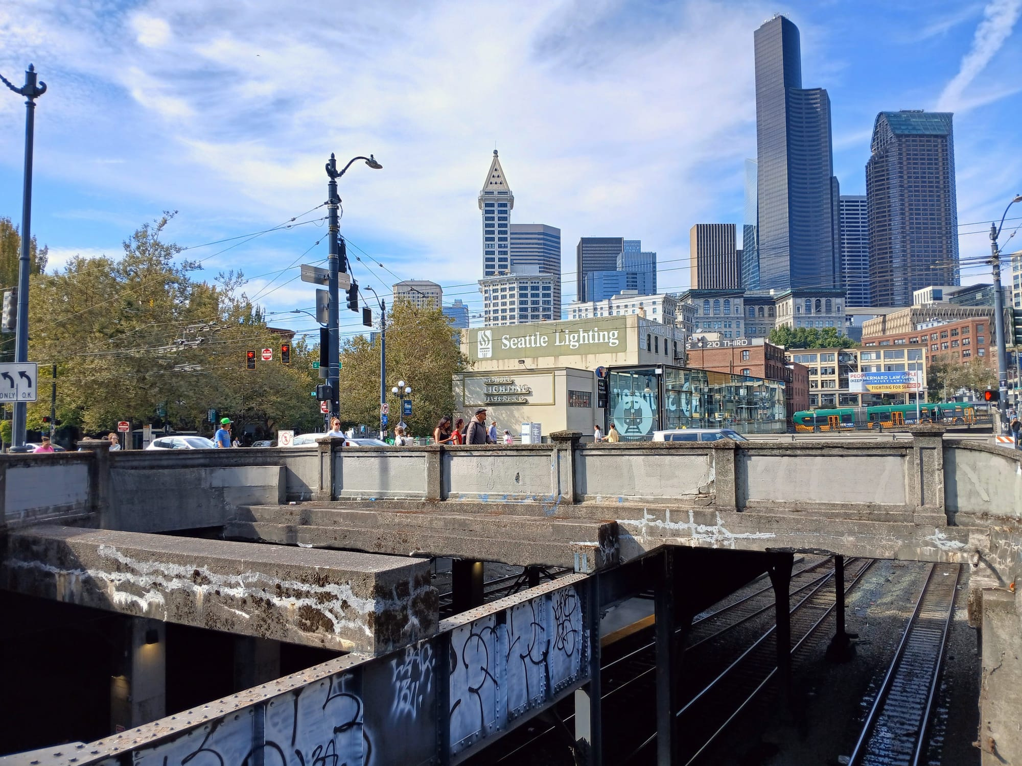
Aging segments of Seattle's downtown street grid around King Street Station would not be able to be rebuilt at their existing heights if they needed to be replaced, according to a newly released study from the Seattle Department of Transportation (SDOT). A bridge over BNSF railroad tracks that carries South Jackson Street and Second Avenue Extension S would need to be three to seven feet higher to receive railroad buy in, a fact that would have cascading effects on access to other nearby streets and properties.
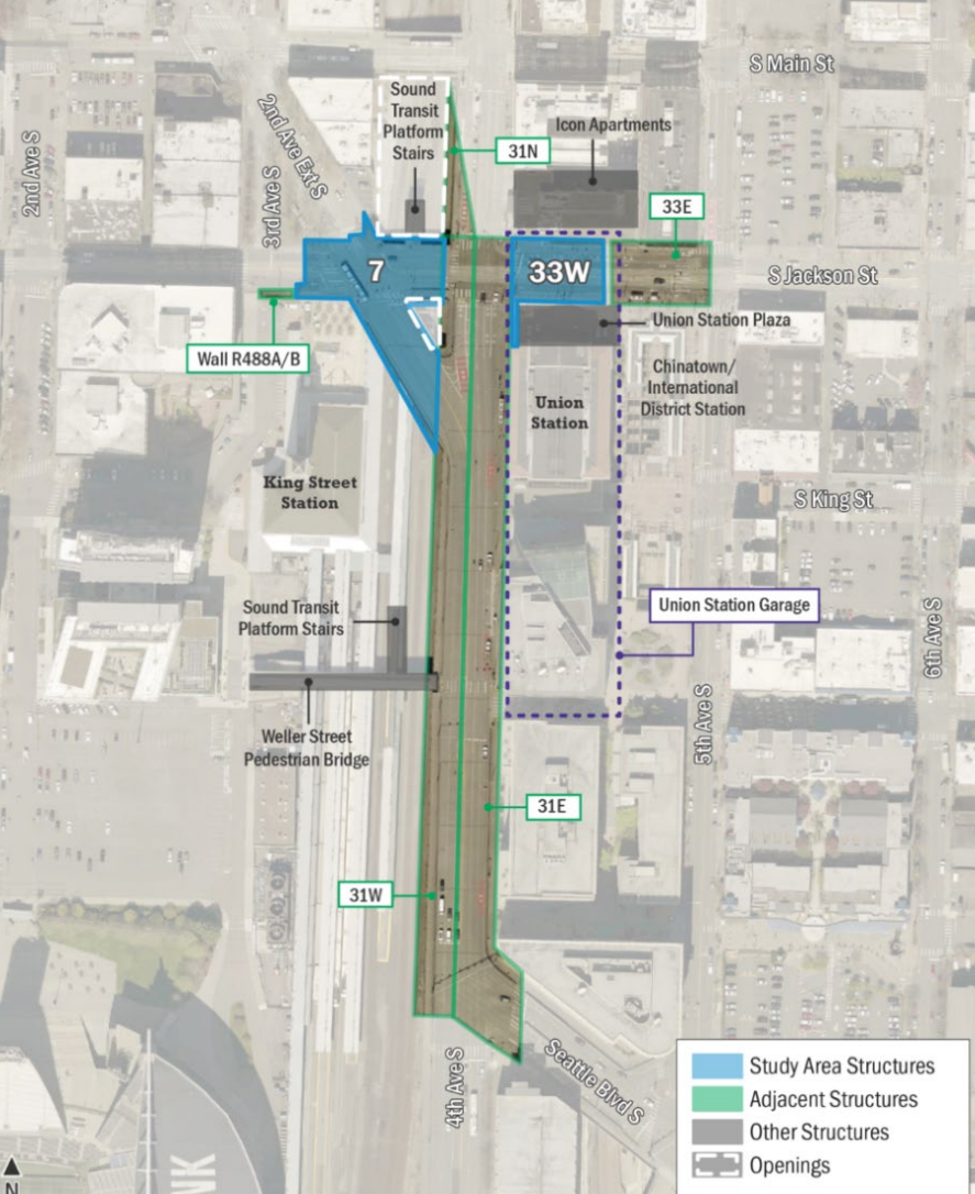
SDOT's study was part of its Bridge Replacement and Rehabilitation Program. It looked at the early 1900s-era S Jackson Street bridge between Third and Fourth Avenue – known as Bridge 7 – and another smaller bridge to the east in front of Union Station, known as Bridge 33W. Both bridges were rehabilitated in the 1980s, and seismically retrofitted to withstand earthquakes more recently.
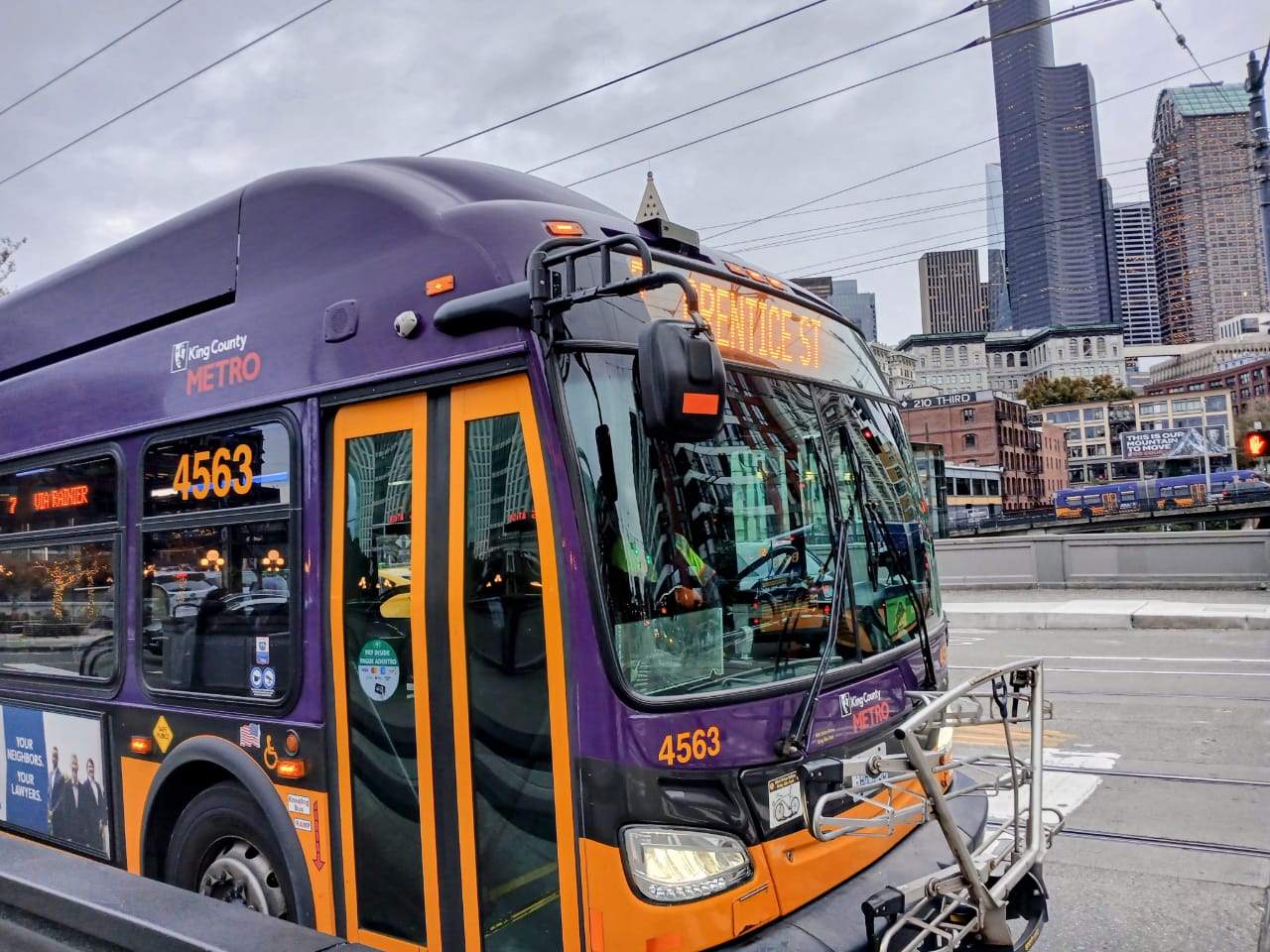
Nonetheless, City engineers have determined both bridges have surpassed their design life and could ultimately need to be replaced. This is a significant challenge given the fact that they provide critical connections for people across Seattle and the entire region, with more than 1,400 buses traversing them every weekday.
"With regular maintenance and monitoring, many bridges last well beyond their design life but it is still important to plan ahead especially when the need for future rehabilitation and replacement is not driven by a poor bridge condition state," the study's executive summary states.
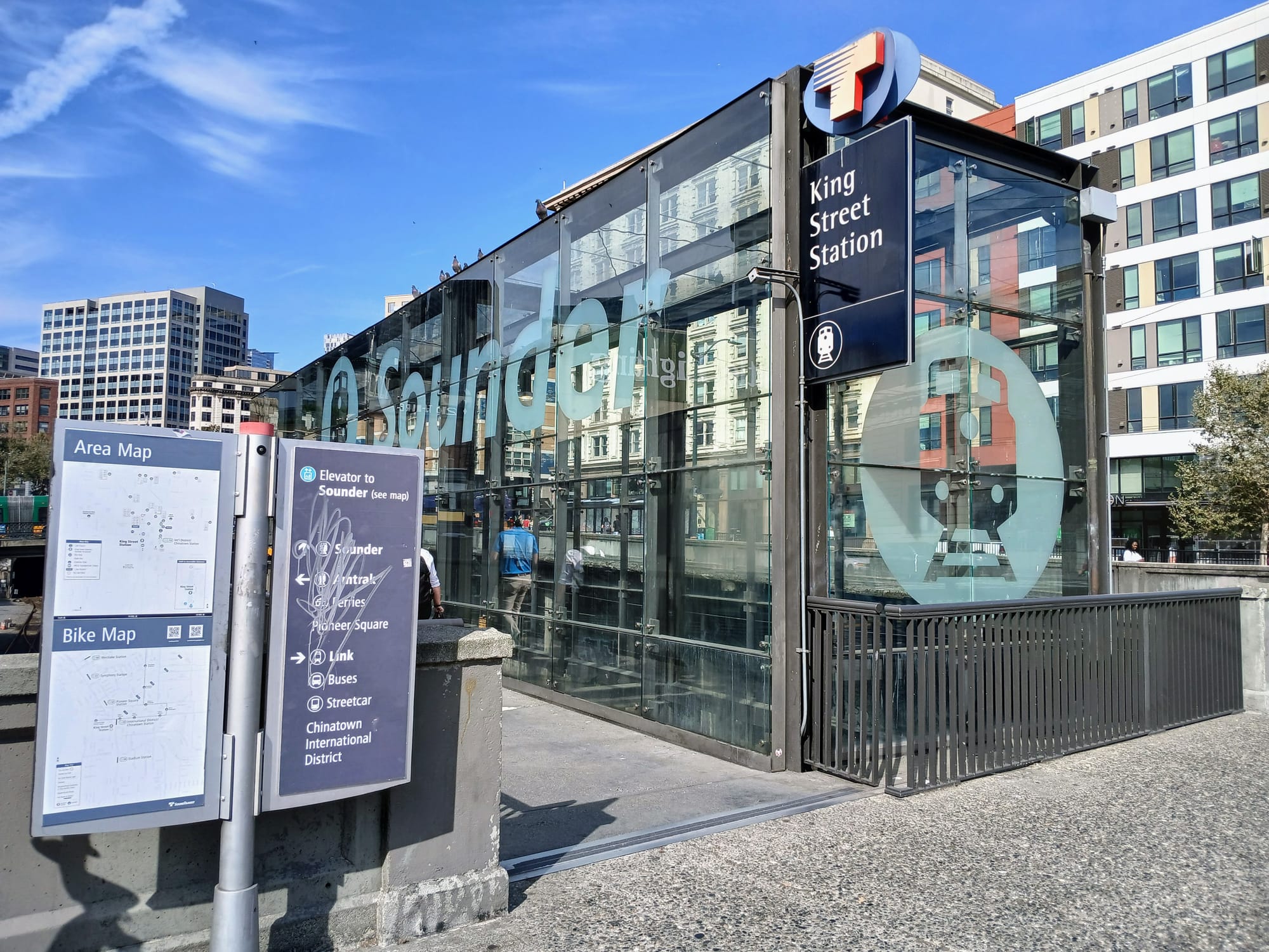
Any replacement bridge over the railroad tracks would need to be significantly higher than today's conditions because the existing bridge doesn't meet current requirements for vertical clearance above BNSF's right-of-way. Such a change would have major impacts on nearby properties, including an entrance to Sound Transit's Sounder commuter rail platform, and the King Street Station entrance plaza. Near bridge 33W, the Icon Apartments sit directly along the sidewalk, with a potential seven foot increase in height something that would block most of the ground floor.
"Improving the vertical clearance to meeting BNSF’s requirements would result in a grade rise of S Jackson Street between 3 and 7 feet, depending on the replacement concept," the summary states. "This change in grade would require 4th Avenue S to also be replaced and would affect access to properties adjacent to 4th Avenue S, S Jackson Street, and potentially along 2nd Avenue Extension S."
The cost of a replacement for Bridge 7 was pegged at anywhere from $99 million to $210 million, but any required height increase would also necessitate replacing Bridge 33W, at a cost of another $32 to $66 million. The study did look at what a retrofit for Bridge 7 would look like, but found that option would cost up to $160 million and take up to 12 years, due to a narrow window of construction work that BNSF would allow within its right-of-way – crews could only work four hours every day.
What it would look like to rebuild the Fourth Avenue S Viaduct was not addressed in the study, but those costs are likely to dwarf the costs of the smaller two bridges it sits between. In 2020, SDOT released the news that costs to seismically retrofit the Fourth Avenue bridge, from S Main Street south to Seattle Boulevard, had to be revised upward by a factor of more than 12, from $8.6 million to $109.4 million.
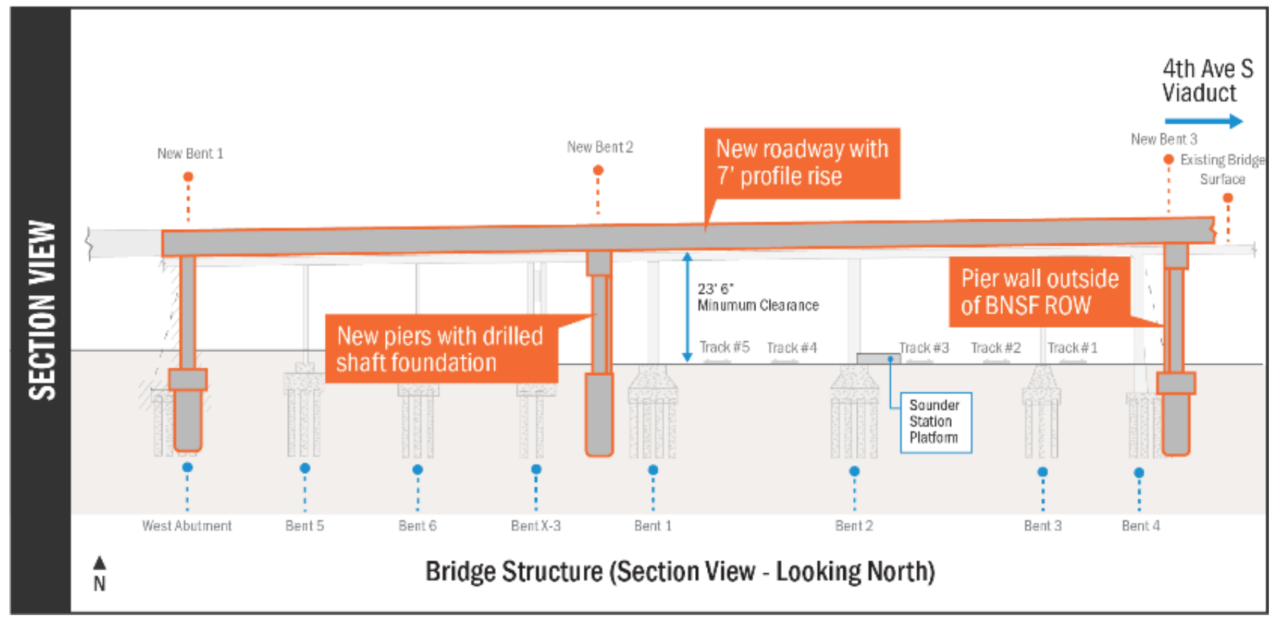
This cluster of interconnected bridges in south downtown has been in the crosshairs for a number of years, as Sound Transit has continued to advance alternatives for a second light rail tunnel through downtown as part of the Ballard Link Extension. It was partly the narrow construction window set by BNSF, on top of other potential technical hurdles, that have pushed Sound Transit away from considering a route under Fourth Avenue, with a third-party consultant calling the option "not reasonably constructible."
The need to retrofit these bridges has also been an issue in the context of the Center City Connector, with a 2024 study concluding that upgrades would be needed to handle the new, heavier streetcar vehicles that would be a component of bridging the city's existing streetcar lines together via First Avenue.
But even if Sound Transit passes the area by and the streetcar remains on ice, these bridges aren't getting any younger.
The $1.55 billion transportation levy that voters approved in 2024 included $221 million for bridges, but most of that funding was earmarked for bridge repair and maintenance, not any full bridge replacements. The levy set aside $20 million to be divvied up among six bridge projects in the hopes of seeking future construction funding, but higher priority bridges like the Magnolia Bridge, and the First and Fourth Avenue bridges further south in SoDo over the Argo railyard, made the cut ahead of Bridge 7 or 33W.
The City could save money on a replacement for Bridge 7 by building an arch bridge over the BNSF right-of-way, just four feet over the existing bridge – but that option was all but rejected due to its impact on traffic. The arch bridge concept would have been expected to cost between $68 million and $145 million, or $65 million less than the high-end cost for the full replacement.
"One concept included removal of the portion of the Bridge 7 structure under 2nd Avenue Extension S, south of S Jackson Street," the study summary noted. "However, preliminary traffic analysis showed that these changes to roadway network and circulation in the neighborhood would not be feasible with today’s bus and vehicle volumes."
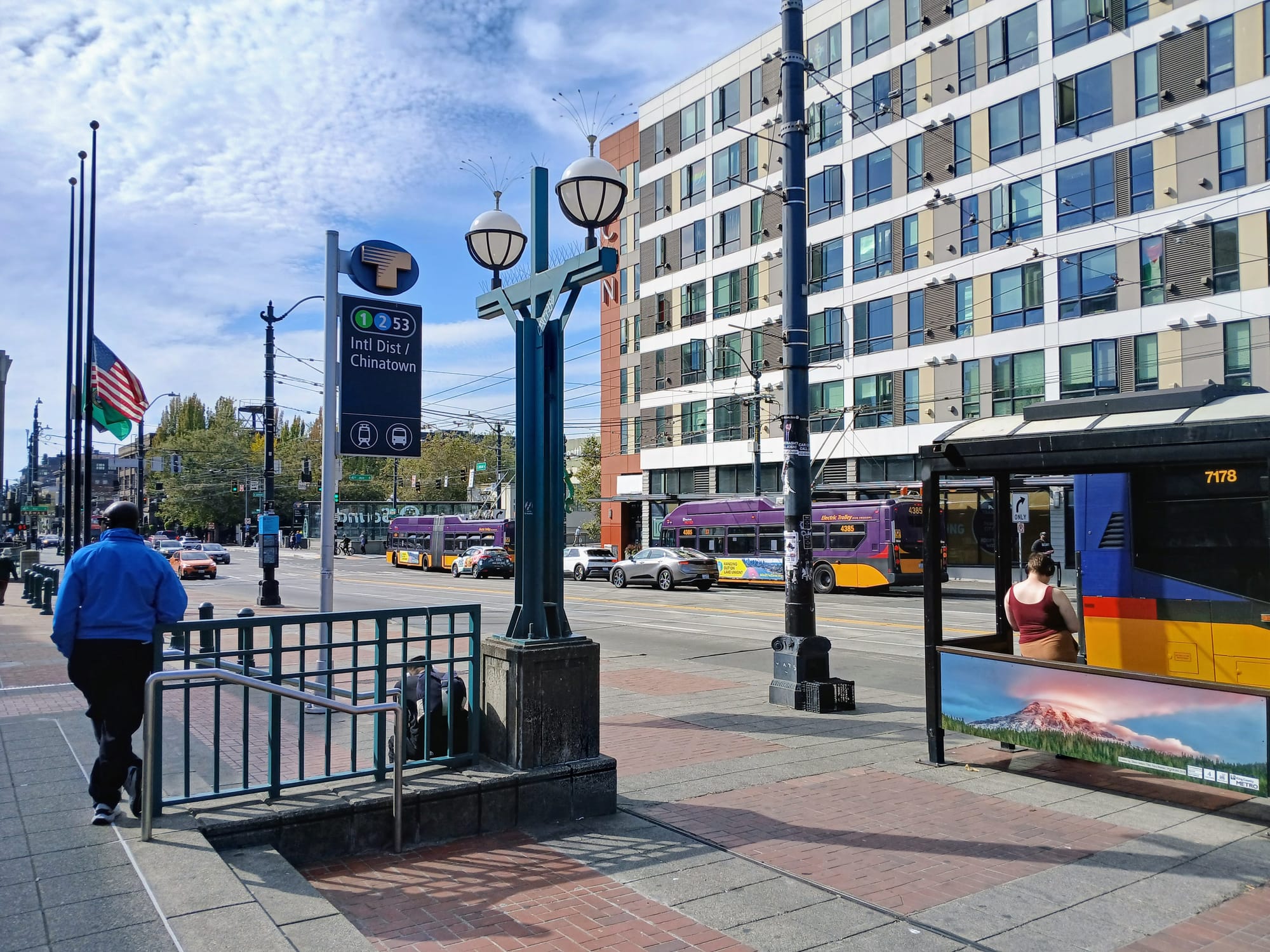
The bridge planning study's executive summary stops short of making a recommendation, but SDOT's project website does go a step further in summarizing where things currently stand.
"While we have not selected a preferred alternative, bridge replacement is looking like it would be a better investment in the long-term," the newly updated webpage notes. "Any of the options will be expensive, require railroad coordination, take time to construct, and cause disruption to the surrounding neighborhoods. We will need to be creative and opportunistic in our approach to funding and delivering this project."
The state of these bridges is unlikely to become a live issue in the immediate future, but this study does put some major issues on the table that future generations of Seattle leaders are likely going to grapple with – and that could leave Jackson Street looking very different than it does today.
 Ryan Packer
 Doug Trumm