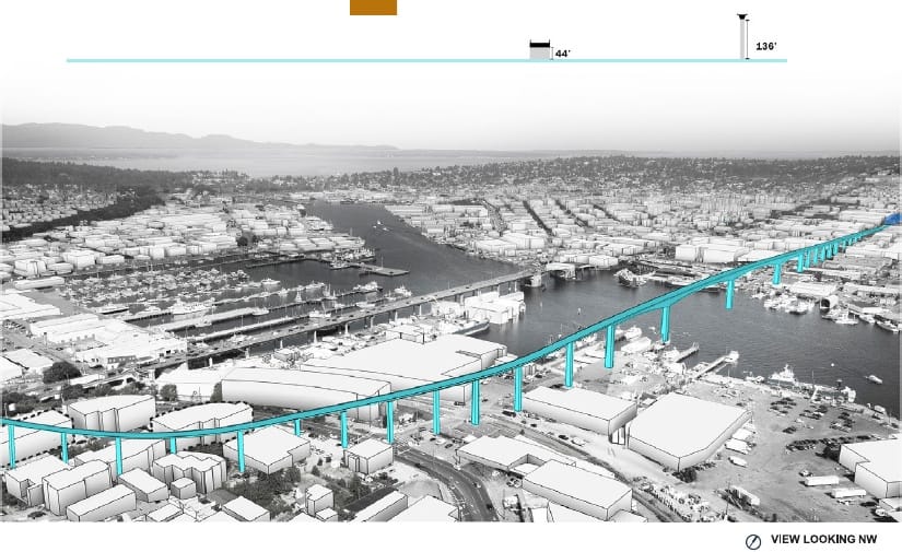
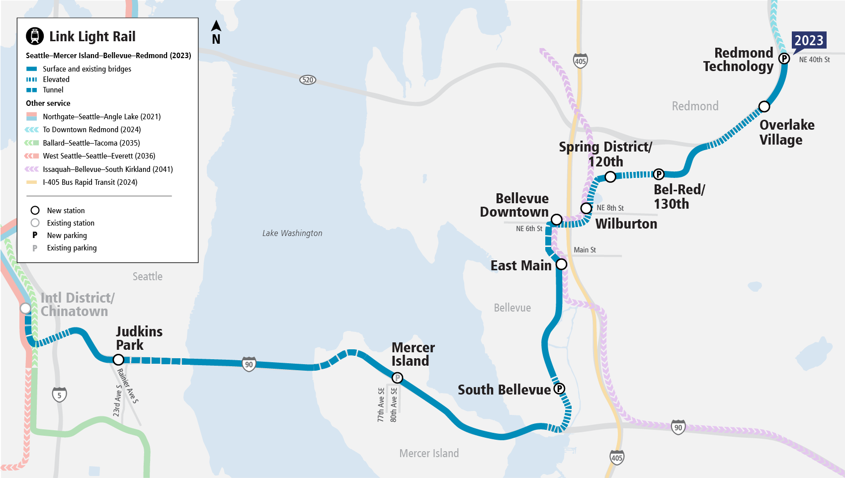
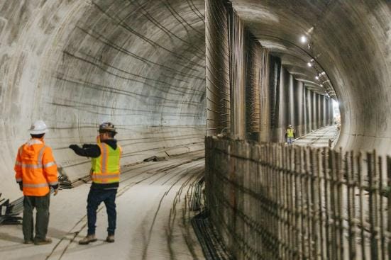
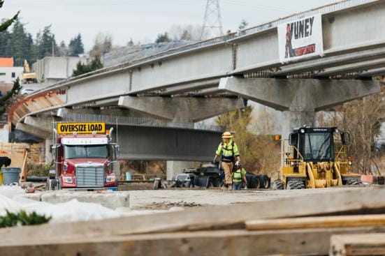
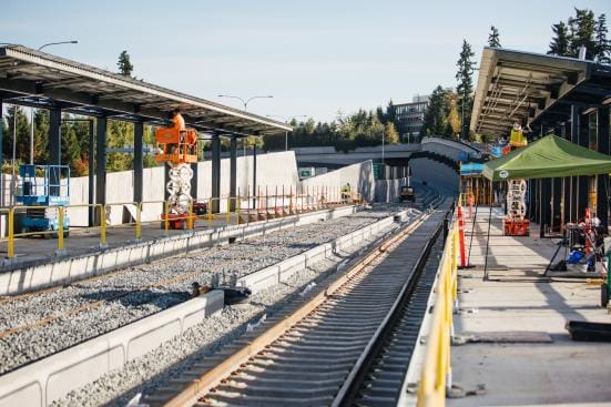
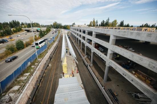
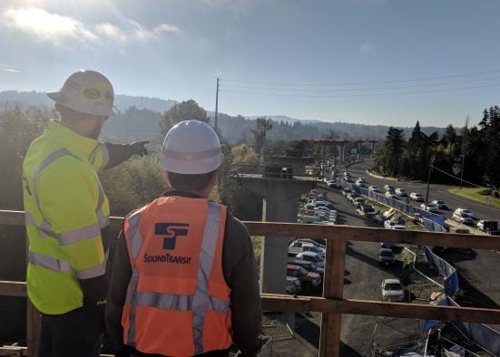
Sound Transit offered transit nerds a treat this Halloween as it posted an update on East Link construction, complete with pictures. The line continues to be on schedule for a 2023 opening. 2.1 million labor hours have been logged already building East Link–or the Blue Line as it will be in Sound Transit’s map.
Phase one of the East Link extension is 14 miles long with 10 stations, bringing Redmond, Bellevue, Mercer Island, and the Judkins Park neighborhood of Seattle into the fold of regional light rail service. By 2026, the Blue Line will serve 43,000 to 52,000 daily riders, Sound Transit projects.
“Trips between downtown Bellevue and Westlake Station in downtown Seattle will take 24 minutes, no matter how bad traffic is,” Katie Metzger of Sound Transit wrote.
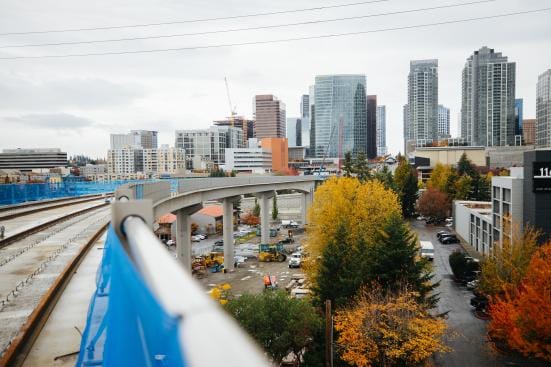
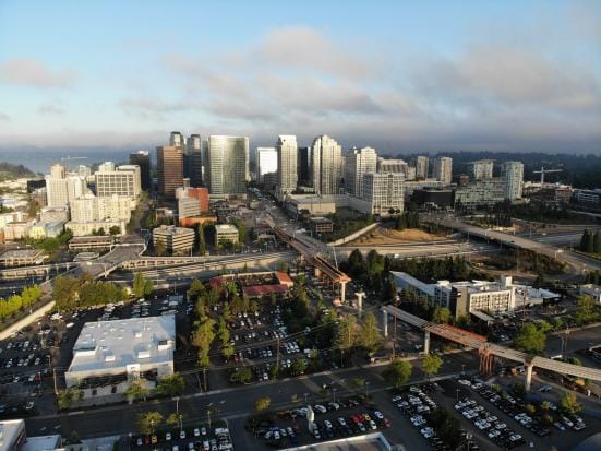
Booming Bellevue Downtown
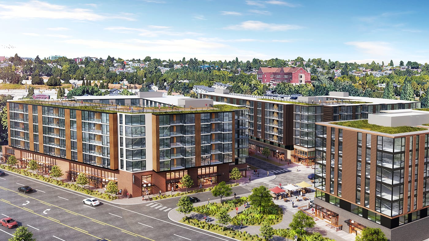
In the blog post, Metzger also noted it’s not just light rail construction, neighborhoods near East Link stations are brimming with mixed-use development as well, which make cameos in some of the photos. Downtown Bellevue is the epicenter of the Eastside boom–and it recently got an upzone to 60 stories and its own Amazon towers–but Wilburton and the Spring District are also redeveloping rapidly.
I recently covered now Northgate Link (opening in 2021) is sparking a building boom in North Seattle around U District Station, Roosevelt Station, and Northgate Station. Similar things are happening around some of the East Link stations–and we will run down how those station areas are developing in future articles.
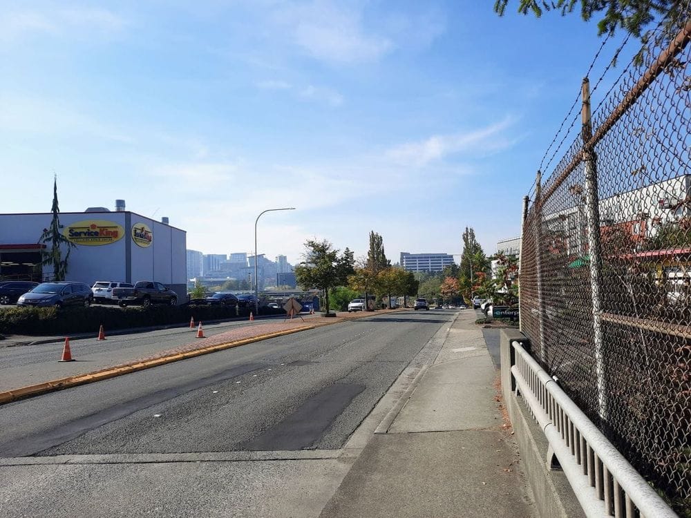
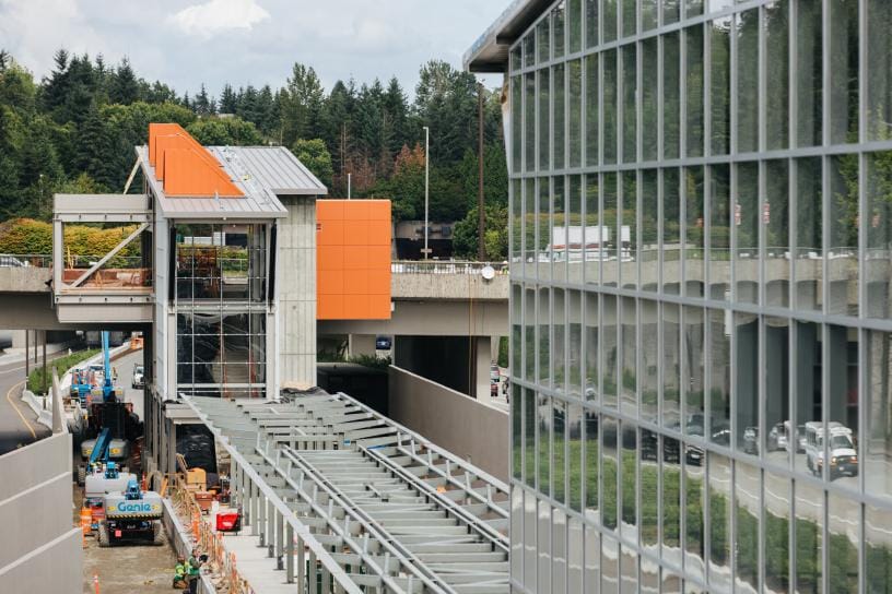
East Main Subway
East Main is where East Link enters a tunnel to make it north through dense office land and reaches Downtown Bellevue Station. It is going to be a dense neighborhood and likely a busy station. It’s already a residential focal point with access to Bellevue’s Downtown Park–Bellevue should play up that main street feel.
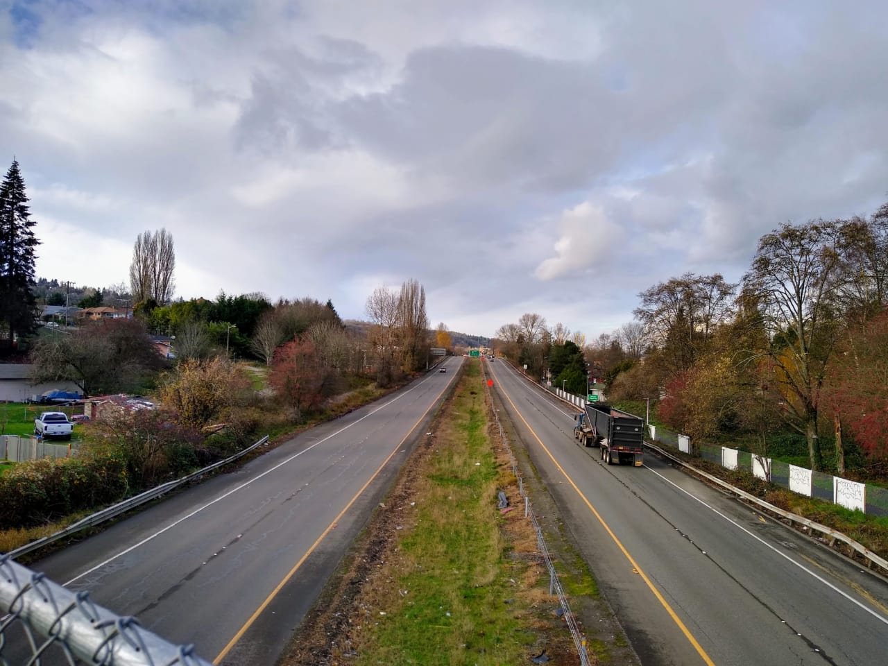
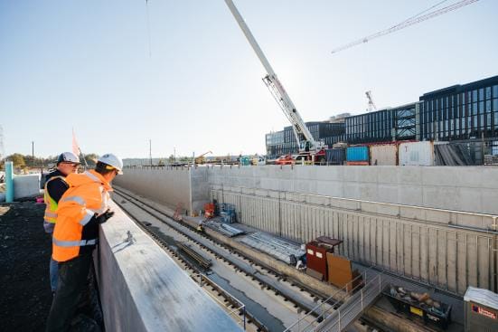
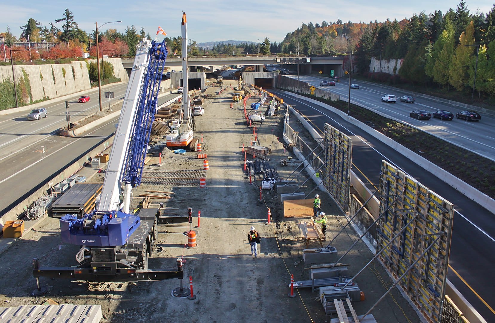
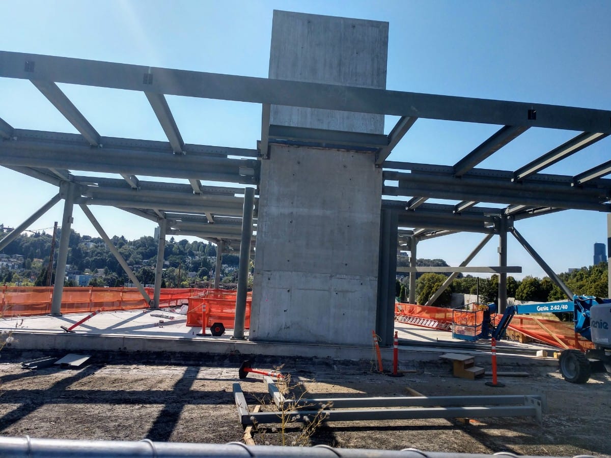
Wilburton Spans I-405
From Downtown Bellevue, East Link jogs east to Wilburton crossing I-405 and a sea of parking. Bellevue is planning a big transformation here called Grand Connection, finally grappling with the scar that I-405 gashed through the city. Bellevue is considering a freeway lid and pedestrian overpass to reconnect Wilburton to Downtown. Wilburton Station already has Overlake Medical Center and Bellevue’s Uwajimaya market closeby, but it’s likely to get some major infill redevelopment and the City of Bellevue is working on an upzone to support urban density.
Spring District Blooms
Next stop to the northeast, the Spring District is anchored by a 36-acre master-planned community two stations past Downtown Bellevue. NBBJ and Wright Runstad collaborated on the plan, which emphasizes office space, but does include some housing too. Outdoor recreation company REI is building a new Spring District headquarters.
Bel-Red Buds
Bel-Red Station is also expected to see a dramatic redevelopment although that’s mostly in its infancy right now. The Bel-Red corridor got a rezone topping out at 12 stories, and some builders are predicting it could be “the next South Lake Union.” That may be an exuberant claim, but certainly it won’t be almost exclusively big-box retail, strip malls, and warehouses much longer.
Overlake is Next to a Freeway
The station shape is firming at Overlake Village, which is already a transit hub for the area and has some dense mixed-use buildings intermixed with the drive-throughs.
Microsoft Makeover at Redmond Technology Center
Redmond Technology Center is currently dominated by its parking structure, but this is the gateway to Microsoft’s massive 500-acre corporate campus. This summer Microsoft announced a major overhaul of its campus, adding two million additional square feet of office space–room for 8,000 additional employees. The Redmond campus already hosts most of Microsoft’s 51,000 workforce in the Seattle area. Acknowledging the impact it has on area housing prices, Microsoft pledged $500 million to boost affordable housing creation–which is better than I can say about Amazon, which prefers million-dollar PAC donations to philanthropy or corporate social responsibility.
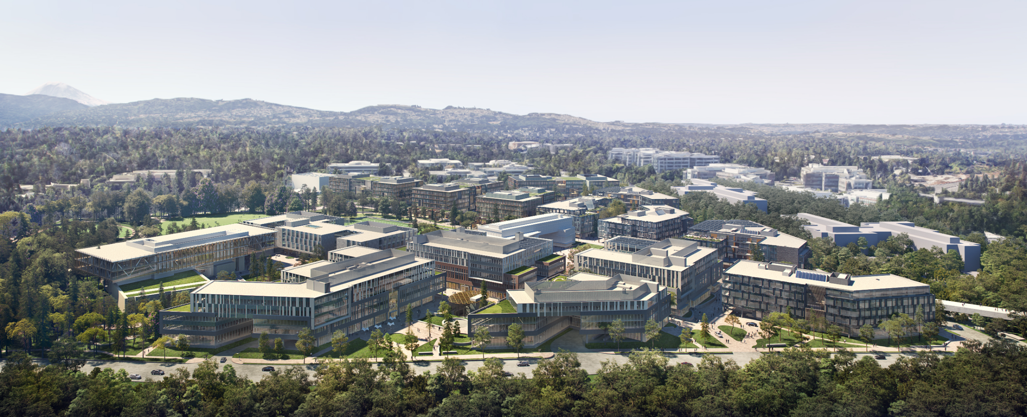
That plan hopes to address how difficult it is to navigate within the car-centric campus. It takes about 22 minutes to walk from one edge of the campus of the campus to the other, and much of that isn’t pleasant given heavy car traffic. A new skybridge over SR-520 will connect the east and west portions, which, along with open spaces and a denser footprint, hopes to create a more pedestrian and bike-friendly setup. Some of the original buildings have already been demolished. The campus update is expected to be completed in 2022 and 2023–just before East Link opens.
Downtown Redmond Extension Breaks Ground
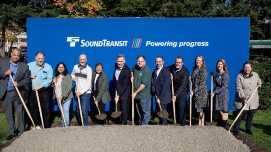
Also in the news this month: Sound Transit broke ground on the Downtown Redmond extension. As if recreating the Last Supper, 12 officials lined up to pose. One can see why they’re excited though. Downtown Redmond will only have to wait one more year after East Link opens to get light rail.
A View of South Bellevue
South Bellevue wasn’t on yesterday’s photo tour, but it was in a photo tour from last year. Sandwiched near the Mercer Slough, it’s not the most urban setting. Quaint and separately incorporated Town of Beaux Arts Village is to the west, and the West Bellevue neighborhood does have some large apartment buildings to the north, but it will be interesting to see what, if anything, grows up around this station. The 1,500-stall parking garage might be the largest structure for a while.
Not to Be Forgotten Mercer Island
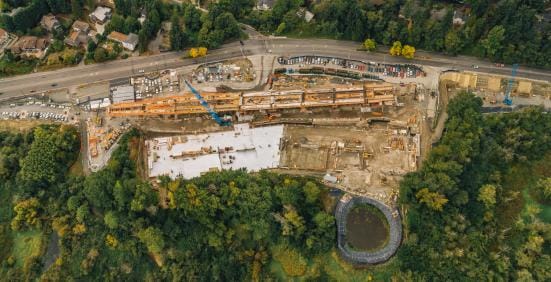
Yesterday’s Sound Transit photo tour didn’t include Mercer Island. But Seattle Transit Blog‘s Bruce Englehardt (a prolific Wikipedia contributor under the moniker SounderBruce) has them covered. Below is the progress as of October 2017.
Here’s what Mercer Island Station looked like by August 2019.
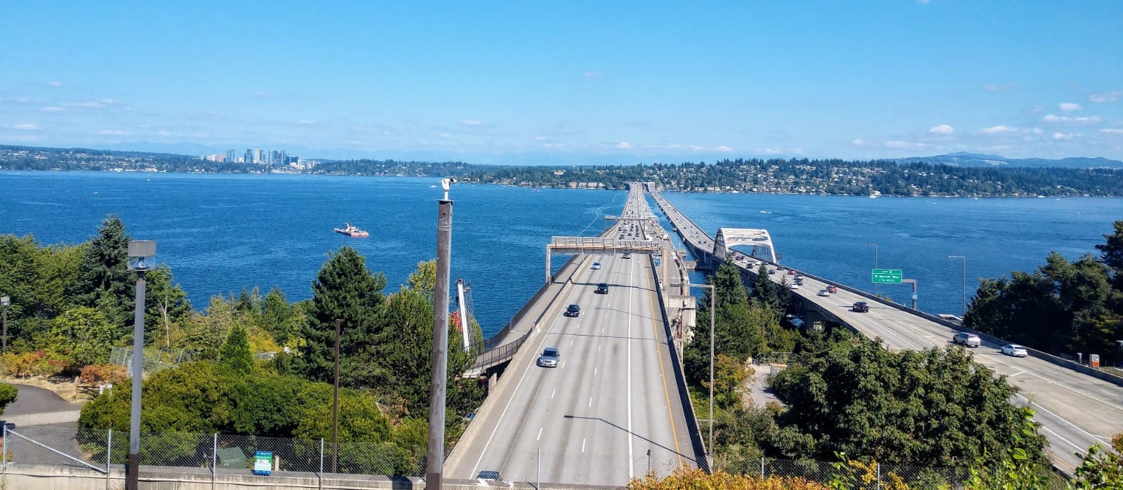
On either side of Mercer Island, East Link must do an impressive engineering feat: running trains on a floating bridge that does jostle some in the wind. Sound Transit designed a new system to deal with this undulating surface. Mercer Island, home of Seattle Times publisher Frank Blethen–the region’s biggest defender of single-family zoning–surprise, hasn’t really embraced an urban makeover in advance of light rail’s arrival beyond a small area near the transit center. There is at least one new large mixed-use project planned near the station, though.

It’s too bad too since Mercer Island has an extensive freeway lid (they got it by threatening to block the freeway project and the state transportation department was more responsive to White and wealthy Mercer Island rather than Black and working class Central District that tried the same). Mercer Island’s lid creates a nice environment despite proximity to a freeway.
Judkins Park is Picking Up Steam
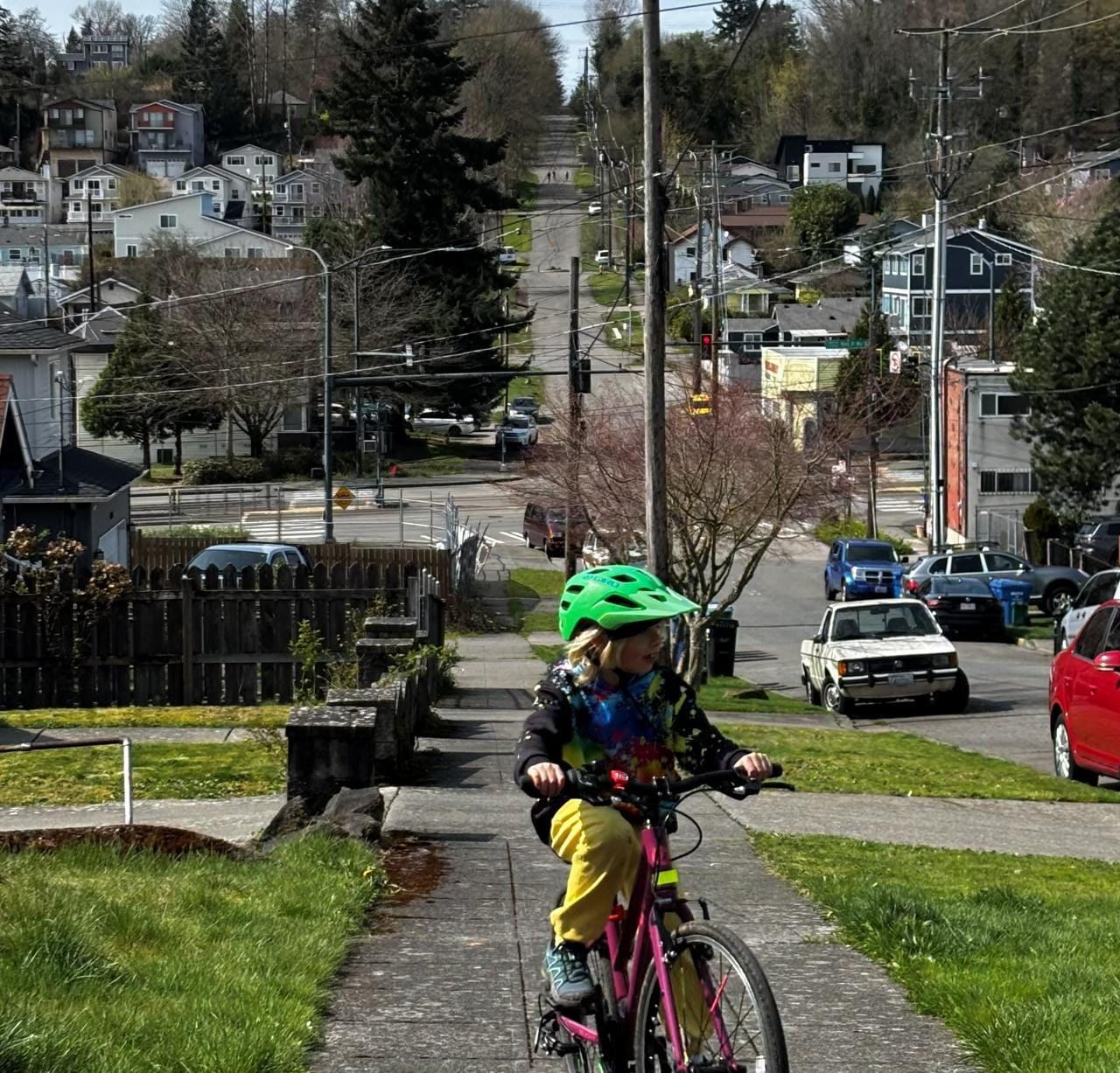
Finally, East Link does add one station in Seattle: Judkins Park. Like Mercer Island, this station is in the median of I-90, but development is still picking up on either side. The Mountains to Sound Greenway does snake along both stations, and I snapped this photo while biking along it this summer.
Judkins Park’s proximity to Seattle’s downtown core means it was already starting to heat up, light rail or no. One example is a 769-home complex to the south called Grand Street Commons. 200 of those in the south building will be affordable housing operated by Mt. Baker Housing Association, while Mandatory Housing Affordability will require significant contributions from the rest of the complex.
We’ll have more on station area development along East Link, so stay tuned.